Hi, what do you want to do?
NOAA
Noaa: Etl: Regional Weather and Climate Applications Branch
This page explains how meteorologists of the NOAA study weather and climate.
Other
Language Crossing: Climate of Peru
A concise summary of the climate of Peru, breaking it down into the country's regions- the coast, highlands and jungle.
ClassFlow
Class Flow: The Southeastern Region of the United States
[Free Registration/Login Required] Exciting movies bring alive our Southeastern United States region, covering the economy, history, climate (to include hurricanes), and geography. Formative assessment allows the students success....
United Nations
United Nations: Development
Links to UN programs and organizations involved in economic development, by region.
INTERNET Red 2000
All About Spain: Andalucia
3000 hours of sun per year - well, that's what you get when you visit the beautiful region of Andalusia. It has varied landscapes and a beautiful climate. It's capital is Seville. This site is available in English, Spanish or German.
PBS
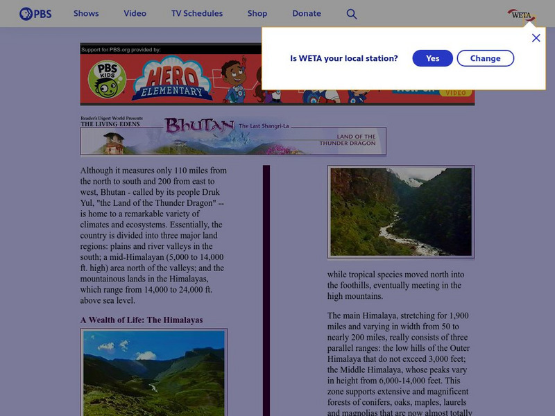
Pbs Bhutan & the Himalayas: A Wealth of Life
PBS provides a general overview of the geography of Bhutan and the Himalayas, highlighting Bhutan's natural regions as largely unexplored. Includes linked pages to the various climatic zones of the Himalayan region.
Discovery Education
Discovery Education: Africa Its People and Places
A very comprehensive lesson plan that helps prepare students for a trip to Africa taking into consideration climate, customs, geography, and language.
Science Education Resource Center at Carleton College
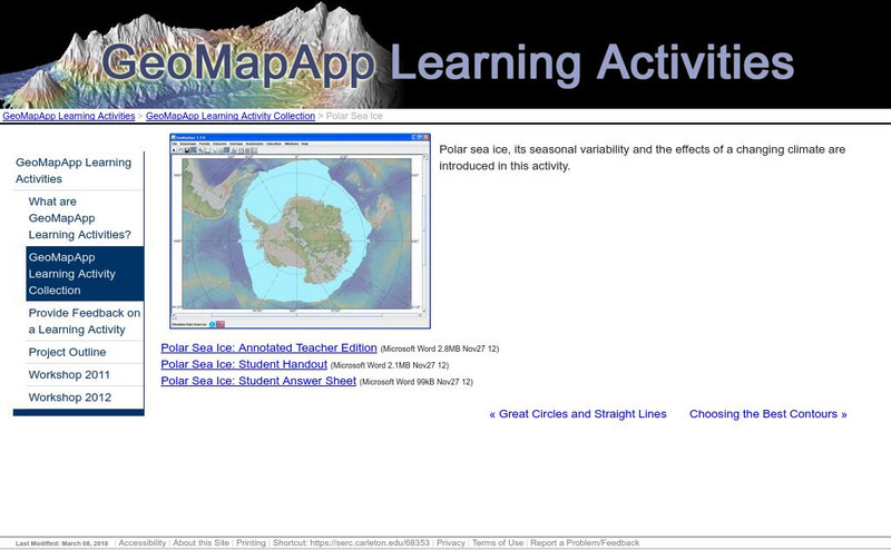
Serc: Polar Sea Ice
Polar sea ice, its seasonal variability, and the impact of a changing climate are investigated in this activity. Learners will also explore the differences between polar regions that result from Antarctica being a continent and the north...
A-Z Animals
A Z Animals: Reference: Habitats: Polar Regions
Learn about the polar ecosystem, and how its geography affects the life on it.
Curated OER
Etc: Maps Etc: Climate and Life Provinces of North America, 1911
A map from 1911 of North America and Central America showing the seven climate zones and three life provinces in the region. The map is color-coded to show the Arctic, Hudsonian, and Canadian climate zones (Boreal Region), Transition,...
Curated OER
Ed Tech Clearinghouse: Koppen Climate Classification of North America, 1911
A map from 1911 of the climate regions of North America using the classification system developed by Wladimir Koppen, based on the concept that native vegetation is the best expression of climate. The major groups are (A)...
TeachEngineering
Teach Engineering: Engineering for the Earth
Young students are introduced to the complex systems of the Earth through numerous lessons on its natural resources, processes, weather, climate and landforms. Key earth science topics include rocks, soils and minerals, water and natural...
Science Education Resource Center at Carleton College
Serc: Arctic Climate Curriculum, Activity 1: Exploring the Arctic
This activity introduces students to the Arctic, including different definitions of the Arctic and exploration of the Arctic environment and Arctic people. Students set out on a virtual exploration of the geography of the Arctic using...
Wikimedia
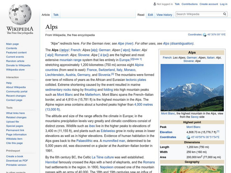
Wikipedia: Alps
This site from Wikipedia provides a detailed article on the Alps. It is divided into sections that cover the climate, the different regions, the principal passes, the geology, and much more. A great reference site.
Nations Online Project
Nations Online
This portal site offers quick access to a wide range of information about each country, continent and region of the world.
PBS
Pbs: Scientific American Frontiers: The Arctic Our Global Thermostat
Scientists believe that the climate in the Arctic is an indicator of global climatic conditions. Learn what makes the Arctic so unique and how scientists use this information to predict global changes. Informative photos accompanied by...
Woods Hole Oceanographic Institution
Polar Discovery: Compare the Poles
A detailed comparison of many aspects of the two polar regions. Includes physical features, seasons, weather, types of ice, plants and animals, human population, and climate change.
NOAA
Noaa: Arctic Theme Page
Information on the Arctic for students, teachers, and other interested groups includes changes in the ecosystem and climate.
Other
Canadian Arctic Profiles
Detailed sections providing further information on the Canadian Arctic's exploration, climate, maps, migration, and indigenous people, make this resource useful for many topics. Put together with images, this resource is useful for high...
Texas State Historical Association
Texas State Historical Association: Texas' Natural Environment
Presents information and data on all aspects of the geography, natural resources, and climate of Texas, including natural disasters and extreme weather events.
PBS
Pbs Learning Media: South America Interactive Map
This interactive map explores the continent and countries of South America. Through political, physical, population, and climate map layers and individual country views, learn about the boundaries that define the continent's 12 sovereign...
Exploratorium
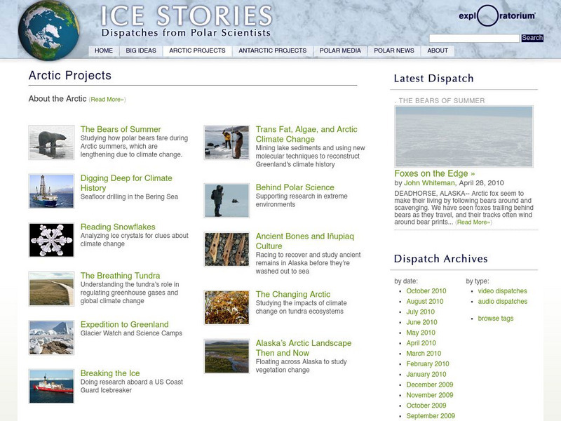
Exploratorium: Ice Stories: Arctic Projects
Scientific research projects being done in the Arctic are showcased here. Projects cover a variety of topics, e.g., polar bears, the impact of climate change and glaciers. There are numerous links to articles, as well as video and audio...
Boise State University
Boise State University: Ocean Exploration: Abyssopelagic (Abyssal) Zone
Learn about the very cold, dark region of the ocean known as the abyss. Includes information on the origin of the name of this ocean zone, as well as information on its depth and animal life.
BBC
Bbc: Weather: Search
Find information about current weather conditions anywhere in the world by entering the city and country. The site breaks down the information into specific areas and regions, which makes it convenient to search through.


