Curated OER
What's Cookin' at Honey Creek?
Fourth graders are introduced to the process of prehistoric hot rock cooking in earth ovens on the Edwards Plateau of Texas. They explain the steps used in the hot rock cooking process.
Curated OER
Where the Wild Things Are
Students examine the characteristics that divide Arizona into different regions. In this resources lesson students complete a worksheet on the biotic communities Arizona has.
Curated OER
'My Town' Brochure
Seventh graders use the Internet to research their town's history. They create a travel brochure for their town.
Curated OER
'My Town' Brochure
Ninth graders use the internet to research a city or town on the "Walk Across Texas" route. They create a brochure or booklet advertising their assigned city or town.
Other
Hull Natural History Society: The Plants of Hull: A Millenium Atlas
This site provides maps and information about the vegetation in Hull, England.
Other
Radley College Geography Department: Latest Weather
Many weather maps including world satellite images, jet streams, tropical storm trackers, temperatures and many more.
Cornell University
Cornell University: The Regional Climate Centers
Site provides information on the National Climatic Data Center's Regional Climate Centers Program. Click a region on the map of the United States and find information about that region's climate!
Other
University of Wisconsin Marathon County: Koppen's Classification Map
Keeping vegetation in mind, Koppen's Climate Classification Map is the most widely used system of measuring the combination of precipitation and temperature. This map identifies areas and labels them variations of tropical, dry,...
Other
U.s. Antarctic Program
This government site delves into the research of all aspects of the Antarctic region including its ecosystems, its impact on the climate, and aerospace.
Other
Radford University: Temperate Broadleaf Deciduous Forest
Characteristics of the deciduous forest biome. Distribution, climate, soil, vegetation, and animals. Includes a map that shows where deciduous forests are located around the globe.
Curated OER
Educational Technology Clearinghouse: Maps Etc: Climatic Regions of Mexico, 1899
A map from 1899 of Mexico showing the general climate divisions of the region, including areas of warm climate, temperate climate, and cold climate. "The Tropic of Cancer crosses Mexico near the center. The low, hot, and moist coast...
Curated OER
Ed Tech Clearinghouse: Koppen Climate Classification of North America, 1911
A map from 1911 of the climate regions of North America using the classification system developed by Wladimir Koppen, based on the concept that native vegetation is the best expression of climate. The major groups are (A)...
Other
Thurston High School: The Deciduous Forest
Thorough description of the deciduous forest. Location map, climate, vegetation, and animals. Lots of photographs.
Other
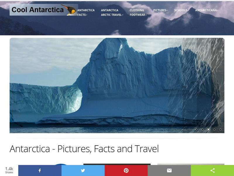
Cool Antarctica: Pictures, Information, and Travel Guide
A complete look at the continent of Antarctica. You can view pictures, utilize a fact file index, and get a historical timeline.
Ireland Information
Information About Ireland: An Outline Geography of Ireland
A general description of Ireland, including the physical landscape, rivers, climate, vegetation, urban settlement, manufacturing, agriculture, and others.
Tramline
Virtual Field Trip: Temperate Forest Biome
Travel with your students on a Virtual Field Trip to learn about Temperate Forest Biomes. You will also discover many informative and interactive websites.
Curated OER
Etc: Maps Etc: Mexico, Central America, and the West Indies, 1898
A map from 1898 of Mexico, Central America and the West Indies. The map includes an inset map of Cuba and the Isthmus of Nicaragua. "The surface of the Rocky Mountain highland in Mexico is quite similar to that of the great plateau...
Ministerio de Educación (Spain)
Ministerio De Educacion: Espana Mapa Interactivo
This is an interactive educational resource that will allow you to practice with physical and socio economic maps of Spain. It provides a theoretical basis and activities on climate, vegetation, autonomies and economy. This site is best...
Other
Tropical Broadleaf Evergreen Forest: The Rainforest
This is a general overview of the tropical rainforests that focuses on climate, animal life, vegetation, soil and so on. It also includes a rainforest map.
Curated OER
Information About Ireland: An Outline Geography of Ireland
A general description of Ireland, including the physical landscape, rivers, climate, vegetation, urban settlement, manufacturing, agriculture, and others.
Curated OER
Ukraine
This site gives a description of the environment of the Ukraine. Read about landforms, vegetation, animal life, and climate. Also read about the history, and demographics of Ukraine.
Curated OER
Thurston High School: The Deciduous Forest
Thorough description of the deciduous forest. Location map, climate, vegetation, and animals. Lots of photographs.
Curated OER
Thurston High School: The Deciduous Forest
Thorough description of the deciduous forest. Location map, climate, vegetation, and animals. Lots of photographs.


