Curated OER
Water Features of Virginia
Students locate and identify water features important to the early history of Virginia. Thye recognize where most cities developed and locate and label the rivers on a Virginia wall map.
Curated OER
IDP Introduction
Fourth graders examine the three regions of North Carolina through class discussion of favorite places in the state and a review game based on the game of twister. The different colors on the twister sheet represent the different...
PBS
Pbs Learning Media: Coastal Geological Processes
This interactive resource adapted from the National Park Service describes the many forces that affect shorelines, including tides, weathering, erosion, and deposition. Includes background reading handout and discussion questions.
Science Struck
Science Struck: Types of Landforms
Describes different landform types and their features. includes many good quality photographs.
CK-12 Foundation
Ck 12: Earth Science: Landforms From Wave Erosion and Deposition
[Free Registration/Login may be required to access all resource tools.] Distinguishes between erosional and depositional features created by ocean waves on a shoreline.
Geographypods
Geographypods: Theme 2: Natural Environments
A rich collection of highly engaging learning modules on topics related to the natural environment. Covers four main areas - plate tectonics, forms and processes, weather and climate, and rainforest and desert. Within each of these,...
John Wiley & Sons
Wiley: Physical Geography: Animation: Wave Refraction
A brief animation that demonstrates the impact of waves on headlands and on bays explaining how waves shape sea arches and beaches.
PBS
Pbs Learning Media: Sandy Coasts
In this interactive resource adapted from the National Park Service, learn about beaches, spits, and other sandy landforms that characterize some of America's coastal national parks.
NOAA
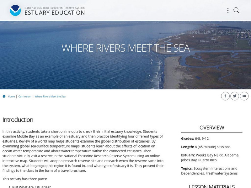
Noaa: Estuaries 101 Curriculum: Where Rivers Meet the Sea
A complete learning module where students watch an introductory video, take an estuary quiz, learn about landforms related to the environment, and use maps and real-time data to study estuary ecosystems in the United States.
Gulf of Maine Research Institute
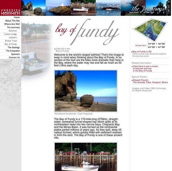
Gulf of Maine Research Institute: Undersea Landscapes: Bay of Fundy
Use this site to learn more about bays by discovering the Bay of Fundy. Read about this interesting place and view pictures of this beautiful bay.
Curated OER
Educational Technology Clearinghouse: Maps Etc: Landforms of Asia, 1904
An outline map from 1904 of Asia showing mountain systems, plateau, plains, major lakes, rivers, coastal features, and seas of the region. This map is used as a key map for locating landform features on a traditional relief map, where...
Geographyiq
Geography Iq
Detailed geographical information on any country is available at this site. Within the World Map section, you can get facts and figures about each country's geography, demographics, government, political system, flags, historical and...
PBS
Pbs: Sandy Coasts
In this interactive resource adapted from the National Park Service, learn about beaches, spits, and other sandy landforms that characterize some of America's coastal national parks.
Other
Mr. Palm: Regions of Texas
The four major geographic regions of Texas are described in text and a slideshow, with a discussion of their landforms, climate, vegetation, animals, and resources.
Curated OER
Educational Technology Clearinghouse: Maps Etc: Relief Map of Australia, 1906
A black and white relief map of Australia showing mountain and river systems, coastal features, and other landforms.


