Utah Education Network
Uen: Renaissance Trade and Exchange
Sixth graders will research the development of international trade and the resultant cultural exchanges during the Renaissance.
Study Languages
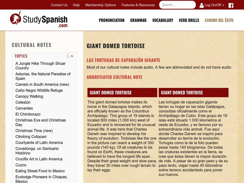
Study Spanish: Las Tortugas De Caparazon Gigante
This site has a cultural explanation in Spanish or English with a few comprehension questions aboutthe giant domed tortoises living on Ecuador's Galapagos Islands. Great reading selection for beginning and intermediate Spanish students.
A&E Television
Biography: Queen Isabella Farnese (1692 1766)
This resource offers a very brief biographical entry on Queen Isabella of Spain, also known as Isabella the Catholic.
Curated OER
Jamaican Capital Kingston
This BBC site follows the history of Jamaica from 1494 when Columbus first sighted it, to the present. Links to news stories are also available.
Curated OER
Educational Technology Clearinghouse: Maps Etc: Vinland, 1837
A map from 1837 of the area around Boston, Massachusetts, proposed by Rafn to have been settled by early Norse explorers before the time of Columbus. The map shows the place names described in old Norse mythologies.
Curated OER
Educational Technology Clearinghouse: Maps Etc: North America, 1882
A map from 1882 of North America, Central America, and the Caribbean, showing political boundaries at the time, major cities, mountain systems, lakes, rivers, and coastal features of the region. The map is color-coded to show general...
Curated OER
Educational Technology Clearinghouse: Maps Etc: North America, 1858
A map from 1858 of North America showing the boundaries at the time for Russian America (Alaska), Greenland, British America or New Britain, Canada East and Canada West, the United States, Mexico, Central America, and the West Indies...
Curated OER
Educational Technology Clearinghouse: Maps Etc: Cuba and Jamaica, 1911
A map from 1911 of the Greater Antilles (Cuba, Jamaica, Hispaniola, and Puerto Rico), and the Lucayos or Bahama Island group. The map shows foreign possession at the time, capitals, major cities, and ports, railroads, terrain, rivers,...
Curated OER
Etc: Proposed Isthmian Canal Routes, 1848 1884
A map of the proposed isthmian canal routes in Nicaragua and Panama between 1848-1884. The map shows the two chief proposals, the Nicaraguan from Greytown on the Caribbean to Lake Nicaragua and Brito on the Pacific, and the Panama...
Curated OER
Educational Technology Clearinghouse: Maps Etc: Ohio, 1891
A map from 1891 of Ohio showing the capital of Columbus, principal cities and towns, railroads, canals, lakes, and rivers.
Curated OER
Educational Technology Clearinghouse: Maps Etc: Ohio, 1902
A map from 1902 of Ohio showing the capital of Columbus, principal cities and towns, railroads, canals, lakes, and rivers.
Curated OER
Educational Technology Clearinghouse: Maps Etc: Ohio, 1906
A map from 1906 of Ohio showing the capital of Columbus, principal cities and towns, railroads, canals, lakes, and rivers.
Curated OER
Educational Technology Clearinghouse: Maps Etc: Ohio, 1909
A map from 1909 of Ohio showing the capital of Columbus, principal cities and towns, railroads, canals, lakes, and rivers.
Curated OER
Educational Technology Clearinghouse: Maps Etc: Ohio, 1919
A map from 1919 of Ohio showing the capital of Columbus, principal cities and towns, railroads, canals, lakes, and rivers.
Curated OER
Educational Technology Clearinghouse: Maps Etc: Ohio, 1922
A map from 1922 of Ohio showing the capital of Columbus, principal cities and towns, railroads, canals, lakes, and rivers.
Curated OER
Educational Technology Clearinghouse: Maps Etc: Ohio, 1919
A map from 1919 of Ohio showing the capital of Columbus, counties and county seats, principal cities and towns, railroads, canals, lakes, and rivers.
Curated OER
Educational Technology Clearinghouse: Maps Etc: Ohio, 1920
A map from 1920 of Ohio showing the capital of Columbus, counties and county seats, principal cities and towns, railroads, canals, lakes, and rivers.
Curated OER
Educational Technology Clearinghouse: Maps Etc: Ohio, 1892
A map from 1892 of Ohio showing the capital of Columbus, counties and county seats, principal cities and towns, railroads, canals, lakes, and rivers. An inset details Hamilton County and the vicinity of Cincinnati.
Curated OER
Educational Technology Clearinghouse: Maps Etc: Ohio, 1903
A map from 1903 of Ohio showing the capital of Columbus, counties and county seats, principal cities and towns, railroads, canals, lakes, and rivers. An inset map of Hamilton County details the vicinity of Cincinnati.
Curated OER
Educational Technology Clearinghouse: Maps Etc: Ohio, 1914
A map from 1914 of Ohio showing the capital of Columbus, counties and county seats, principal cities and towns, railroads, canals, lakes, and rivers. A grid reference at the bottom of the map lists counties, principal cities, and towns...
Curated OER
Educational Technology Clearinghouse: Maps Etc: Ohio, 1912
A map from 1912 of Ohio showing the capital of Columbus, counties and county seats, principal cities and towns, railroads, canals, lakes, and rivers. A grid reference in the margins of the map lists counties with populations given in...
Curated OER
Educational Technology Clearinghouse: Maps Etc: Ohio, 1898
A map from 1899 of Ohio showing the capital of Columbus, principal cities and towns, railroads, and rivers. "Ohio, name of Indian origin, signifying 'Beautiful River.’ The 'Buckeye State.’ Explored by La Salle 1679. Ohio Territory...
Curated OER
Educational Technology Clearinghouse: Maps Etc: Southern Ohio, 1920
A map from 1920 of the southern part of Ohio, showing the capital of Columbus, principal cities and towns, counties and county seats, railroads, canals, and rivers, including the Ohio River.
Other popular searches
- Christopher Columbus
- Columbus Day
- Kindergarten Columbus Day
- Columbus Day Elementary
- Columbus, Christopher
- Christopher Columbus Ships
- Columbus Day Art Project
- Libraries Columbus
- Columbus Day Activities
- Columbus Day Math
- Columbus Day Lesson Plans
- Christopher Columbus Song


