Curated OER
Characteristics of Snakes and Turtles
Students compare and contrast snakes and turtles, then fill out an information sheet.
Curated OER
Christopher Columbus WebQuest
Fourth graders are introduced to the voyages of Christopher Columbus to the New World. In groups, they use the Internet to complete a WebQuest on what conditions were like on the ships. They write journal entries and complete a worksheet...
Curated OER
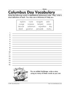
Columbus Day Vocabulary
In this Columbus Day worksheet, students write the 16 words from that relate to Columbus Day in alphabetical order and write a short definition for each.
Curated OER
I Know Where You Are!
Students study what a GPS is and use it to challenge themselves and find positions on a map. In this investigative lesson students find various points on a map using a GPS system and answer questions on a worksheet.
Curated OER
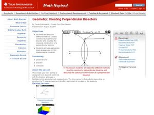
Creating Perpendicular Bisectors
Students create perpendicular bisectors. In this geometry lesson,students use a straight edge and protractor to create a perpendicular bisector. They graph line on the TI and analyze it.
Curated OER
Deep Blue: Exploring the Deep Ocean
Students examine landforms. In this social studies lesson, students bounce a beach ball around in order to discover that seventy percent of the Earth is covered in water. Students
Curated OER
CHARTING A COURSE
Young scholars model how a gyroscope works with string, an old phonograph record and crayon.
Curated OER
How Do You Know Where You Are?
Seventh graders are introduced to geographic thinking, setting the stage for the creation of a map showing distance, direction, location and symbols from their residences to school.
Curated OER
My Life as a Loggerhead
Young scholars discuss the current flow of the Gulf Stream and the characteristics of the Sargasso Sea. They visit websites to gather information on loggerhead sea turtles. Students imagine that they are newly hatched loggerhead turtles.
Curated OER
A Sense of Location: The Mental Map
Students consider the ways a mental maps of geographic landmarks can help migrating animals stay on the correct course.
Curated OER
Making a Mountain Out of a Snow Hill: Skiing, Winter Sports, Economics, Business, Problem Solving
Pupils explore how to select among choices of variables and analyze the cost-benefit ratio of their short and long term planning in a team activity as they consider the planning and operation of a ski slope.
Science Buddies
Science Buddies: Are We There Yet? Test How Migratory Birds Navigate
How do you figure out how to get places? Do you ask for directions, look at a map, or consult a compass? There are many ways for people to figure out how to travel from one place to another, but how do other animals do it? In this...
Environmental Education for Kids
Eek!: Outdoor Safety: Reading a Compass and Orienteering
Explains how to use a compass to orient yourself outdoors.
TeachEngineering
Teach Engineering: Topos, Compasses, and Triangles, Oh My!
In this activity, students will learn how to actually triangulate using a compass, topographical (topo) map and view of outside landmarks. It is best if a field trip to another location away from school is selected. The location should...
Mariners' Museum and Park
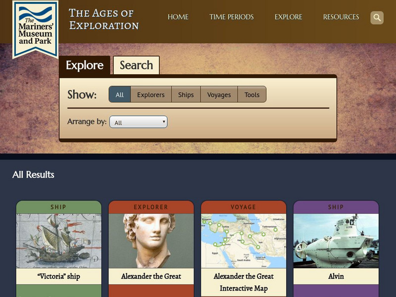
Mariners' Museum: Age of Exploration: Tools of Navigation
Sailors improved on many of the tools used in navigation to help them in their long journeys across an ocean. On this site from the Mariners' Museum, find many of these tools, perhaps in use already in the 15th century, but made even...
NOAA
Noaa: Make Your Own Compass [Pdf]
Build a compass to help you figure out which direction is north or south.
TeachEngineering
Teach Engineering: Plot Your Course Navigation
In this unit, students learn the very basics of navigation, including the different kinds of navigation and their purpose. The concepts of relative and absolute location, latitude, longitude and cardinal directions are discussed, as well...
Mocomi & Anibrain Digital Technologies
Mocomi: What Is a Compass?
Provides basic information about compass points.
Mangahigh
Mangahigh: Shape: Use Compass Directions
Test your knowledge of navigating with a compass.
Pamela Seed
The Art and Science of Fifteenth Century Navigation: Latitude
Chronicle of the changes that occurred in various areas when latitude was identified in 1516. Site includes links to the changes in maps, compass roses, and the science of sailing.
University of Calgary
Uof C: Advances in Shipbuilding and Navigation
This site gives information on technical advances in Portuguese shipbuilding and navigational tools.
Other
Boat Safe Kids
This is a delightful site about boats and boating. Lots of games plus a terrific overview of the history of navigation. Includes a visit to a reproduction of Columbus' Nina.
TeachEngineering
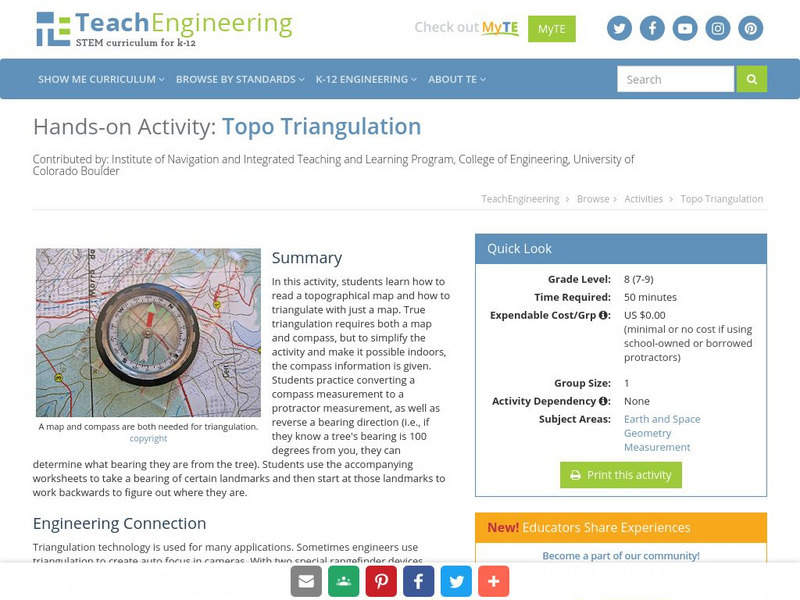
Teach Engineering: Topo Triangulation
In this activity, students will learn how to read a topographical map and how to triangulate with just a map. True triangulation requires both a map and compass, but to simplify the activity and make it possible indoors, the compass...
TeachEngineering
Teach Engineering: Where Is Here?
In this lesson, young scholars are shown the very basics of navigation. The concepts of relative and absolute location, latitude, longitude and cardinal directions are discussed, as well as the use and principles of a map and compass.


