TeachEngineering
Teach Engineering: Topo Map Mania!
Maps are designed to allow people to travel to a new location without a guide to show the way. They tell us information about areas to which we may or may not have ever been. There are many types of maps available for both recreational...
E-learning for Kids
E Learning for Kids: Science: Antarctica: What Is Position and Reference Point?
With all the snow and ice in Antarctica, it's easy to get lost. Help Tim find his way using a map and a compass.
TeachEngineering
Teach Engineering: Where Is Your Teacher?
In this activity, students will learn how to take bearing with a compass. They will also learn how to describe a bearing and find an object in their classroom using a bearing.
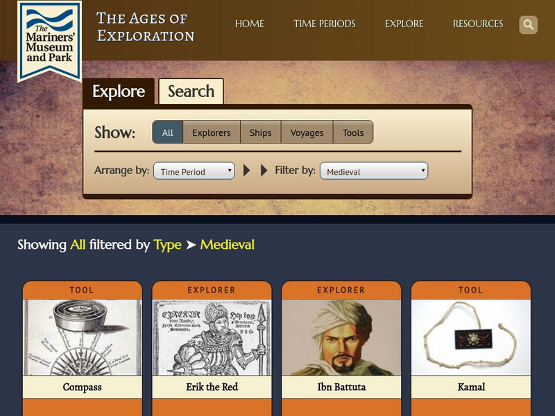
Mariners' Museum and Park
Mariners' Museum: The Ages of Exploration: Medieval
Looks at a few of the key navigational tools and significant individuals during the medieval period of exploration.
TeachEngineering
Teach Engineering: Classroom Triangles
In this activity, students will use bearing measurements to triangulate and determine objects' locations. Working in teams of two or three, students must put on their investigative hats as they take bearing measurements to specified...
Annenberg Foundation
Annenberg Learner: Renaissance: Exploration and Trade
Detailed introduction on exploration and trade during the Renaissance. Provides an overview of the tools created during the Middle Ages that made such travels by sea possible as well as insight into the types of goods traders sought in...
BBC
Bbc: Bitesize Geography: Os Map Skills
A short tutorial on mapping tools and how to read maps. Covers features of maps, symbols, the compass, scale, distance, how height is represented, and grid references. Includes multiple-choice quiz at the end.
Australian Broadcasting Corporation
Australian Broadcasting Corporation: News in Science: Bats Use Compass for Long Trips
From ABC News in Science, this article discusses research connected to the tracking of several big brown bats as they headed back to their homes. The experiment utilized several magnetic fields in attempts to disrupt the paths taken by...
E-learning for Kids
E Learning for Kids: Science: Antarctica: Penguins: What Is Motion?
What do you know about Emperor penguins? Ernie is researching them and their migration across the continent.
TeachEngineering
Teach Engineering: Getting to the Point
In this lesson, learners learn how to determine location by triangulation. We describe the process of triangulation and practice finding your location on a worksheet, in the classroom, and outdoors.
National Council of Teachers of Mathematics
Nctm: Figure This: Airport Runways
Why are airport runways numbered? The math challenge is to figure out the missing runway number.
Science and Mathematics Initiative for Learning Enhancement (SMILE)
Smile: Magnet Muscles (Lesson Plan)
A teacher lesson plan which includes a station lab; learners navigate through four stations with separate activities on magnetic principles. Easily adaptable as a student project.
Mariners' Museum and Park
Mariners' Museum: Resources: Age of Exploration
Scroll to the bottom of this page to access activity resources and lesson plans that encourage students to explore an understand the practicalities and difficulties involved in sailing to new places during the Age of Exploration.


