Curated OER
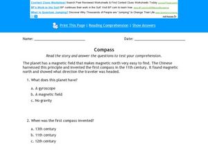
Compass Reading Comprehension Activity
In this compass reading comprehension learning exercise, students read a 1 paragraph selection pertaining to compass and then answer 3 multiple choice questions regarding the information
Curated OER
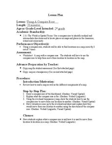
Compass Rose
Second graders practice identifying the four cardinal directions. After locating a compass rose on a map, 2nd graders explain each point that corresponds to a direction. Using a toy ship as a manipulative on a map, students observe its...
Curated OER
Basic Compass and Ruler Construction: Line Segment
In this construction activity, learners utilize a compass and a ruler to reconstruct a line segment and to combine two line segments together in 2 questions.
Curated OER
Compass Rose
There isn't much learners do on this compass rose worksheet- an image includes degrees of direction and abbreviations of both cardinal and intermediate directions. There is a blank for students to fill out the compass #, however it is...
Curated OER
Making a Six-pointed Star
In this polygon worksheet, students identify and create a six-pointed star by completing 6 steps. First, they use a compass to trace a circle with a given radius. Then, students draw a point on circumference of the circle and place the...
Curated OER
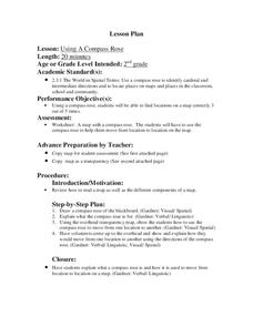
Using a Compass Rose
Second graders practice navigating around their neighborhood by utilizing a compass. For this geography lesson, 2nd graders view a compass rose, discover the purpose of it, and utilize it to navigate through a printed map of their...
Curated OER
Using a Compass Rose
Second graders explore geography by completing a mapping activity in class. In this directional lesson, 2nd graders examine a map in class and utilize a compass rose to identify their location and destination. Students write directions...
Curated OER
Google Earth
Young scholars explore cardinal directions and the compass rose using Google Earth. In this cardinal directions and compass rose instructional activity, students use Google Earth to visit Disney World. Young scholars choose which...
Curated OER
Mapping the News
Students explore cartography. In this map skills and map making lesson, Students work in groups to create wall size world maps including legends, compass roses, latitude and longitude, and physical features. Students collect...
Math Mammoth
Construct Line Segments and Angles
In this math worksheet, learners are asked to used a compass and straight edge to construct copies of shapes, angles and line segments.
Curated OER
Making Shapes
Tenth graders construct geometric figures using compasses and protractors.
Curated OER
Lesson on GPS
Students investigate global positioning systems. In this technology and mapping lesson, students view a PowerPoint presentation in which they identify the features of a GPS, state its uses, and follow steps to find a waypoint.
Curated OER
People Change the Landscape
Students examine ways in which humans have brought change to the natural environment. In this ecology and literacy lesson, students listen to the book Island Boy by Barbara Cooney. Students observe and define map-reading vocabulary as...
Curated OER
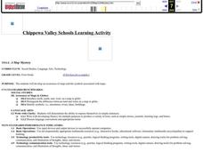
A Map Mystery
First graders solve a mystery by following map clues. In this map clues lesson plan, 1st graders follow a computer program called Neighborhood Map Machine. In this program, it gives students directional and spatial clues in order to...
Curated OER
Magnets
In this magnets worksheet, students review magnetic properties and define an electromagnet. This worksheet has 10 fill in the blank, 1 drawing, and 3 short answer questions.
Curated OER
Geography: Japan Project Online Lesson, Part 2
Students, in small groups, create and exchange map questions and share them with students in Japan. After examining the maps, they compare and contrast the two maps on the county Web Board. Students use a rubric to evaluate their answers.
Curated OER
Follow the Light
Young scholars investigate the role of lighthouses in navigation and practice the use of cardinal directions through reading activities, discussion, locating geographical features, and mapping lighthouses along the east coast of the...
Curated OER
GPS Treasure Hunt
Students explore geography by participating in a treasure hunt activity. In this Global Positioning System lesson, students define the terms latitude and longitude while utilizing an electronic GPS device. Students view a PowerPoint...
Curated OER
Stories That Really Add Up
Students, in groups, develop math lessons for younger students that each stems from a popular student story. Group members individually develop lessons for other subject areas based on their group's story, creating interdisciplinary units.
Curated OER
An Age of Exploration
Learners investigate U.S. history by examining North American timelines. In this American exploration activity, students research the events that led to Columbus finding America and participate in a jeopardy game regarding his adventure....
Curated OER
Fish Activities
In this fish activity worksheet, learners learn a counting rhyme about fish. They then discuss the best way to care for fish and they learn 4 different types of fish. On the second page, students count lines of fish and color them a...
Curated OER
How Animals Meet Their Needs
Fourth graders research the Internet for facts relating to the animal of their choice. They use information from their Internet search to complete their animal project. TLW use his or her own words when writing their report.
Curated OER
Columbus Day Vocabulary
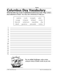
In this Columbus Day worksheet, students write the 16 words from that relate to Columbus Day in alphabetical order and write a short definition for each.
