Alabama Learning Exchange
Alex: Topography of Fruit
This is an attempt to help students understand contour lines in map-making through the vector of digital photography. This hands-on activity will create an art piece out of fruit that will be analyzed to create topographic maps.
Science Buddies
Science Buddies: Career Profile: Geographer
Learn about the career of a geographer, a social scientist that uses knowledge of climate, culture, and topography to address a whole host of problems the world faces. Find out the educational requirements and what the job entails in...
Science Education Resource Center at Carleton College
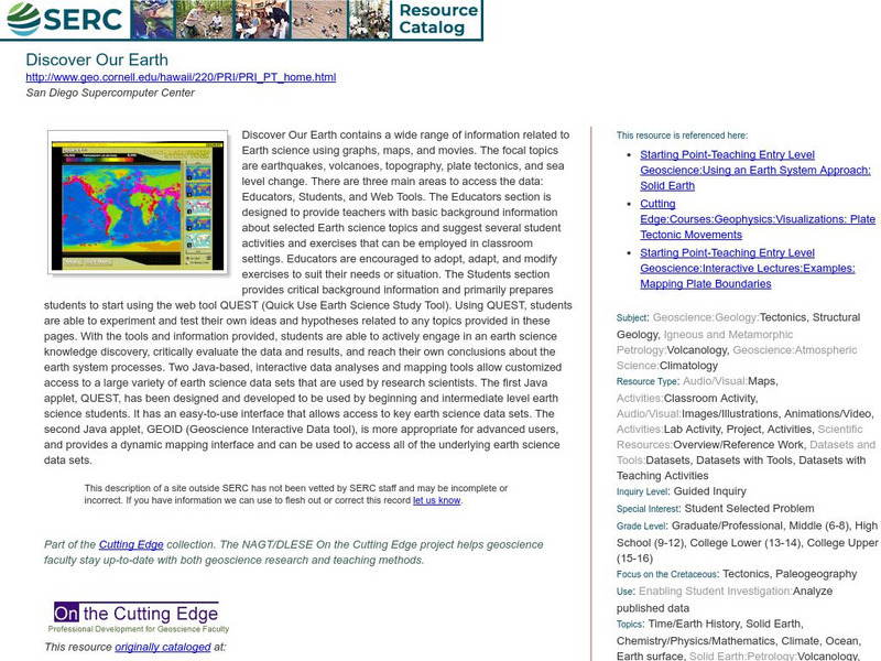
Serc: Discover Our Earth
Study earthquakes, volcanoes, topography, plate tectonics, and sea level change using graphs, maps, and movies. Engage in earth science knowledge discovery, critically evaluate the data and results, and reach conclusions about the earth...
Georgia Department of Education
Ga Virtual Learning: Weather and Climate
In this amazingly comprehensive interactive tutorial you will learn how factors such as ocean currents, topography, and air currents affect weather patterns. You will also learn the similarities and differences between weather and climate.
Science Education Resource Center at Carleton College
Serc: Fathoms, Ship Logs, and the Atlantic Ocean
Students use data from ship logs to graph a profile of the Atlantic Ocean. They will rely on prior knowledge of seafloor topography, instructions on how to read a bathymetric map, and observe a demonstration where the depth of the ocean...
Science Education Resource Center at Carleton College
Serc: Hotspot Lesson: Mantle Plumes
A instructional activity that explains a theory on magma generation at hotspots called the mantle plume theory. The goal of this instructional activity is to introduce students to a theory that scientists are actively trying to prove or...
PBS
Pbs: The Living Edens: Borneo: From Caves to Kinabalu
View pictures, read text, and listen to information about the topography, flora, and fauna of Borneo, the world's third largest island.
Travel Document Systems
Tds: Chad: Geography
A great look at the physical features, climate, and topography of the landlocked country of Chad. Read about the climate zones and wildlife. Information is from the U.S. State Dept. Background Notes.
Cornell Lab of Ornithology
Cornell Lab of Ornithology: Feather Structure
This site provides a detailed explanation of the structure of bird feathers. Topics include feather topography, types of feathers, and feathers and flight.
Library of Congress
Loc: American Revolution and Its Era: Maps & Charts
A few maps and some good text on the topography and its importance during both the American Revolution and the French and Indian War.
Japanese Ministry of Foreign Affairs
Web Japan: Nature and Climate
Would you like to find out how Japan's climate compares to where you live? Read about the climate, topography, and natural disasters. There are many pictures and a quiz at the end.
Curated OER
University of Texas: Afghanistan: Topography
A 1986 topographical map of Afghanistan from the Perry-Castaneda Collection. You can clearly see the mountain ranges, valleys, and passes that make up this mountainous country.
Science Education Resource Center at Carleton College
Serc: Investigating How Terrain and Watersheds Are Connected
In this lab, young scholars will investigate the topography of a watershed and determine how it may affect physical stream parameters focusing on how terrain and water systems are connected.
Science Education Resource Center at Carleton College
Serc: Geologic History Field Investigation Minnehaha Falls
An inquiry-based geology field investigation where middle schoolers investigate sedimentary geology, stream processes, topography, rock layers, and land surface features as well as study past changes in the depositional environment in...
Science Education Resource Center at Carleton College
Serc: Writing to Support the Theory of Plate Tectonics
This lesson helps students use images that depict earthquakes, seafloor ages, topography, and volcanoes, and then make a scientific argument supporting the Theory of Plate Tectonics.
Science Education Resource Center at Carleton College
Serc: Choosing the Best Contours
Using GeoMapApp's interactive elevation base map, experiment to find the best contours for sensibly displaying topography in different landscape regions. Students use contours in different landscape regions to find contour...
Science Education Resource Center at Carleton College
Serc: Map and Compass Lab
Science Scope article presents an activity on topography and land masses that helps students learn about scientific inquiry. Students also practice making and interpreting scale drawings and learning about computation, estimation and new...
Science Education Resource Center at Carleton College
Serc: Adventures in Virtual Reality
In this activity, students look at the topography and cross-section of El Paso Texas and Edwards Aquifer in virtual reality, using historical data of the Edwards Aquifer that contains information on recharge, discharge and precipitation....
Other
Jules Verne Voyager: Earth
A map resource that allows users to view many different features of the topography, textures, and geodetic data on selections in the drop down menus.
National Association of Geoscience Teachers
Nagt: Discovering Plate Boundaries
Students work collaboratively using data maps to discover plate tectonic boundary processes. Data sets used are earthquakes, volcanoes, seafloor age, and topography.
Other
Usgs: The National Map: Us Topographical Map
Use this map to explore the topography of the United States.
CK-12 Foundation
Ck 12: Fourth Grade Science: Earth Science: Introduction to Earth's Surface
[Free Registration/Login may be required to access all resource tools.] Explains how to find a location and direction on Earth's surface. Discusses topography and various landforms and how they form.
American Geosciences Institute
American Geosciences Institute: Earth Science Week: Predict the Flow
Using a common modeling compound, students form a "volcano" and examine its topography to predict which way lava will flow down its slopes.
Encyclopedia of Earth
Encyclopedia of Earth: Antarctica
Facts about the location, human geography, physical geography, climate, geology, and topography of Antarctica.
Other popular searches
- Contour Maps
- Contour Maps and Elevation
- Contour Maps Topography
- Contour Lines Maps
- Contour Lines on Maps
- Contour Lines Map Reading
- Reading Contour Maps
- Contour Interval Map Scale
- Worksheets Contour Maps
- Geography Contour Maps
- Isolines and Contour Maps
- Music Contour Maps


