Alabama Learning Exchange
Alex: Let Them Eat Cake! Topography Lesson
Contour lines on topographic maps require visual processing to read and interpret. This hands-on activity helps give a tasty mental image.
Curated OER
Etc: Maps Etc: Topography of Nineveh and Vicinity, 1881
"Nineveh, or Ninus, a very ancient and famous city, the cap.
Science Education Resource Center at Carleton College
Serc: Investigating the Difference in Geology
For this inquiry based field investigation, students will be observing our school campus's topography, soil, and plants and comparing them with the Fertile sand dunes' topography, soil, and plants. They will make detailed observations...
Country Studies US
Country Studies: Uzbekistan: Geography
Read about the geography of Uzbekistan from the Library of Congress collection. The topography is varied and often severe.
Science Education Resource Center at Carleton College
Serc: Landscape Regions
A lab activity where students study the" relationships between landscape appearance, topography and underlying geology". In this particular activity students explore the landscape region of New York State to see the effects of...
Foundation for the Advancement of Mesoamerican Studies
Famsi: Classic Maya Borders and Frontiers (2003)
A look at the geology and topography of El Paraiso valley and its influence on communication, passage and trade. Report also considers architecture and "Mayanization" of area.
Curated OER
National Park Service: Grand Canyon Parashant National Monument
A look at the Grand Canyon-Parashant National Monument in northern Arizona. The local topography and vegetation combine to provide a remoteness from the busy world and a place of beautiful solitude. Photos enable one to learn about the...
Discovery Education
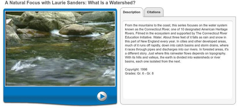
Discovery Education: Homework Helper: What Is a Watershed?
This video describes what watersheds are and where they are located. View several different watersheds and learn how their flow is affected by the topography around them. [7:11]
Globio
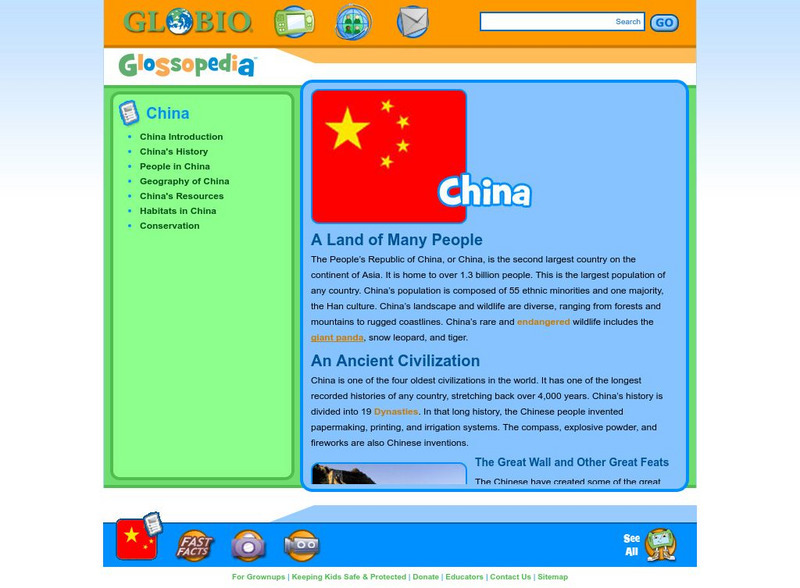
Glossopedia: China
China is the second largest country in Asia with the largest population in the world. This article discusses China's long history, many inventions, and basic cultural information. China's varied topography is introduced as well as...
US Geological Survey
Usgs: Geologic Provinces of the United States: Basin and Range Province
Resource provides a description of the topography of the Basin and Range province focusing on its fault history and water drainage system.
Curated OER
University of Texas: Turkmenistan Shaded Relief Map
This relief map of Turkmenistan from the Perry Castaneda collection shows the topography of the country along with its bodies of water.
Curated OER
Caption Below
A few maps and some good text on the topography and its importance during both the American Revolution and the French and Indian War.
Curated OER
Caption Below
A few maps and some good text on the topography and its importance during both the American Revolution and the French and Indian War.
Curated OER
Caption Below
A few maps and some good text on the topography and its importance during both the American Revolution and the French and Indian War.
Curated OER
Caption Below
A few maps and some good text on the topography and its importance during both the American Revolution and the French and Indian War.
Curated OER
Caption Below
A few maps and some good text on the topography and its importance during both the American Revolution and the French and Indian War.
CBS
Cbs News: Rebuilding Afghanistan
Explore this interactive presentation and learn about Afghanistan's geography, history and people and what is being done to rebuild this country. (2004)
Geographypods
Geographypods: Map Skills
A collection of highly engaging learning modules on various topics within mapping skills. Covers map symbols, how to use four- and six-figure grid references, cardinal directions, distance, contour mapping, and drawing cross-sections....
Geographic
Mexico Geography Index
This homepage provides links to descriptions of the geography of Mexico.
Northwestern University
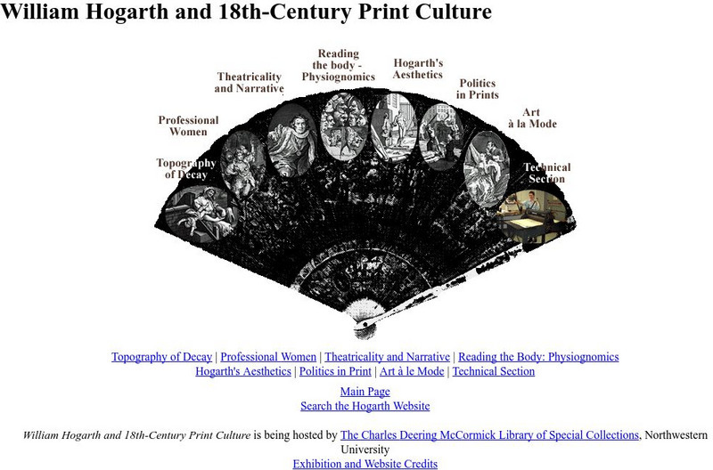
Northwestern University Library: Hogarth and Eighteenth Century Print Culture
Browse this large collection of Hogarth's prints to find examples of all of his favorite subjects, including eighteenth-century views of London.
NOAA
Noaa: Ngdc: Images, Visualizing Data
The National Geophysical Data Center has transformed extensive ocean research into colorful video, 3D maps, charts posters and more! This site starts off with a film clip of a dive into the Marianas trench and then lead you to other...
University of Texas at Austin
Ut Library: Perry Castaneda Maps of New York
A collection of maps of the state of New York, including links to city maps, historical city maps, and maps of National Parks, Monuments, and historical places.
NASA
Nasa: Oceanography
Join NASA in its study of oceanography and learn about the Earth system, the physical ocean, and life in the ocean. Try out the Giovanni: Earth Data Visualization Tool and access satellite-derived data to enhance the learning experience.
University of Texas at Austin
Ut Library: Perry Castaneda Maps of Connecticut
Includes two maps of the state as well as several topographic maps of cities in Connecticut and one historic map of New Haven in 1920.
Other popular searches
- Contour Maps
- Contour Maps and Elevation
- Contour Maps Topography
- Contour Lines Maps
- Contour Lines on Maps
- Contour Lines Map Reading
- Reading Contour Maps
- Contour Interval Map Scale
- Worksheets Contour Maps
- Geography Contour Maps
- Isolines and Contour Maps
- Music Contour Maps


