US Geological Survey
United States Geological Survey: Topographic Maps
"Note: The information on this page is being retained for technical and historical reference only. The site is not under active maintenance and may include expired information and outdated links." This site gives an overview of the...
TeachEngineering
Teach Engineering: Can You Catch the Water?
Students construct a three-dimensional model of a water catchment basin using everyday objects to create hills, mountains, valleys and water sources. They experiment to see where rain travels and collects, and survey water pathways to...
Texas A&M University
Ocean World: Bringing the Ocean to the Classroom
Online resource for students and teachers to see information on icebergs, fisheries, coral reefs, waves, currents and more. Provides teachers with learning activities. Has its own ask-an-expert site (Ask Dr. Bob), and provides real-time...
US Geological Survey
U.s. Geological Survey
The U.S. Geological Survey reports on the latest news affecting the earth today, as well as providing a wealth of data, reports, and information.
Other
Ordnance Survey: Map Zone: Relief and Contour Lines
Discover how to read and show height on maps using relief and contour lines.
Latimer Clarke Corporation
Altapedia Online: World Map Resources
Features downloadable World Political and Physical Maps that include country names, country borders, ocean features, island names, and lat/long graticules. Clicking on any part of the map enlarges it.
Country Studies US
Country Studies: Cambodia: Rivers
Read this discussion of the rivers in Cambodia from this Country Studies report. Find out sources and mouths of the major rivers.
Curated OER
National Park Service: Mammoth Cave: Biology and Cave Life
This resource describes the biology and cave life of Mammoth Cave. Among the topics discussed are the animal and plant life associated with the area. Requires Adobe Reader. [PDF]
Johns Hopkins University
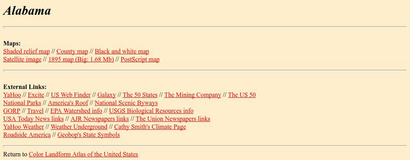
Johns Hopkins University: Alabama State Maps
Check out this site from the Johns Hopkins University Applied Physics Laboratory for several different types of maps for the state of Alabama. You can find everything from a county map to a shaded relief map. If you are looking for map...
Lonely Planet
Lonely Planet: Ukraine
This site gives a description of the environment of the Ukraine. Read about landforms, vegetation, animal life, and climate. Also read about the history and demographics of Ukraine.
University of California
Ucmp: A Virtual Exploration of the Beach
This site focuses on the following questions:1. What are the divisions of a beach?2. How does energy vary along the beach area?3. How does grain size vary along the beach in response to wave energy?
Science Education Resource Center at Carleton College
Serc: Investigating Contour Maps: Creating Contour Maps by Surveying
In this activity, the students will understand how contour maps are created and appear the way that they do by using various materials to create and compare contour lines of different elevation levels.
Wikimedia
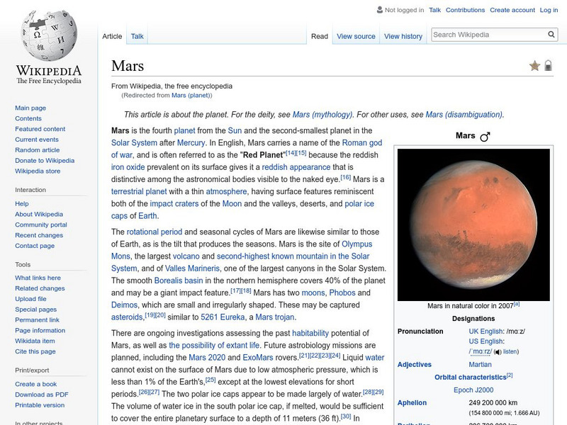
Wikipedia: Mars
Wikipedia, a publicly-maintained encyclopedia, provides abundant information on the planet Mars.
US Navy
Habitats: Beaches Characteristics
This resource presents an overview of beach structure. This article briefly covers beach features such as spits, tombolos and barrier islands.
University of St. Andrews (UK)
University of St. Andrews: Mac Tutor History of Mathematics Archive
The University of St. Andrews, Scotland, presents hundreds of biographies of famous mathematicians, histories of math in various cultures, and interesting facts on the development of important math concepts. This is a huge reference....
University of Texas at Austin
Ut Library: Perry Castaneda Maps of Massachusetts
A collection of current and historic maps of Massachusetts, along with maps of cities and national parks in the state.
Curated OER
Sierra Summit Contour Map (Railroad in Red)
An extraordinarily rich collection of photos, stereographs, engravings, maps, and documents. Many 19th century accounts of building and traveling on the railroad, plus travel guides and government documents.
University of Virginia
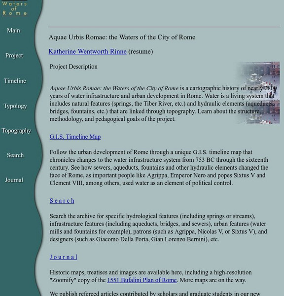
Aquae Urbis Romae: The Waters of the City of Rome
Aquae Urbis Romae: the Waters of the City of Rome is a cartographic history of nearly 2800 years of water infrastructure and urban development in Rome. Water is a living system that includes natural features (springs, the Tiber River,...
US Department of Agriculture
Usda Forest Service: Caribbean National Forest
Learn about El Yunque, the tropical rain forest in the Luquillo Mountains of Puerto Rico. The article discusses the topography, geology, rainfall amounts, soil, and water quality of the forest.
PBS
Pbs Teachers:the Gulf Coast Region: Effects of Katrina
Research and discuss the history, topography, economics and demographics of the Gulf Coast Region to explain how and why Hurricane Katrina caused such devastation. Predict the long-term effects of this storm on the geography of the region.
Travel Document Systems
Tds: Liechtenstein: Geography
A listing of the different aspects of the physical environment of Liechtenstein including climate, topography, size, and neighbors. From the CIA World Fact Book.
Other
Native Americans Grade 2 Unit of Study: Southeast Woodlands
A very brief, but appropriate for lower elementary students, look at Indians of the Southeast Woodlands. Find a map, a description of the climate and topography, transportation, shelter, and food.
American Geosciences Institute
American Geosciences Institute: How Is Water Distributed?
See how the topography and gravity affect the distribution and flow of Earth's water.
University of Chicago
University of Chicago: The Giza Plateau Mapping Project
Resource focuses on the the geology and topography of the Giza plateau, the construction and function of the Sphinx, the Great Pyrimids, the associated tombs and temples, and the Old Kingdom town in the vicinity.
Other popular searches
- Contour Maps
- Contour Maps and Elevation
- Contour Maps Topography
- Contour Lines Maps
- Contour Lines on Maps
- Contour Lines Map Reading
- Reading Contour Maps
- Contour Interval Map Scale
- Worksheets Contour Maps
- Geography Contour Maps
- Isolines and Contour Maps
- Music Contour Maps


