US Geological Survey
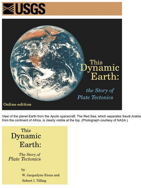
Usgs: Plate Tectonics and Mid Oceanic Ridges
Excellent graphics and understandable text about all aspects of plate tectonics including mid-ocean ridges.
National Weather Service
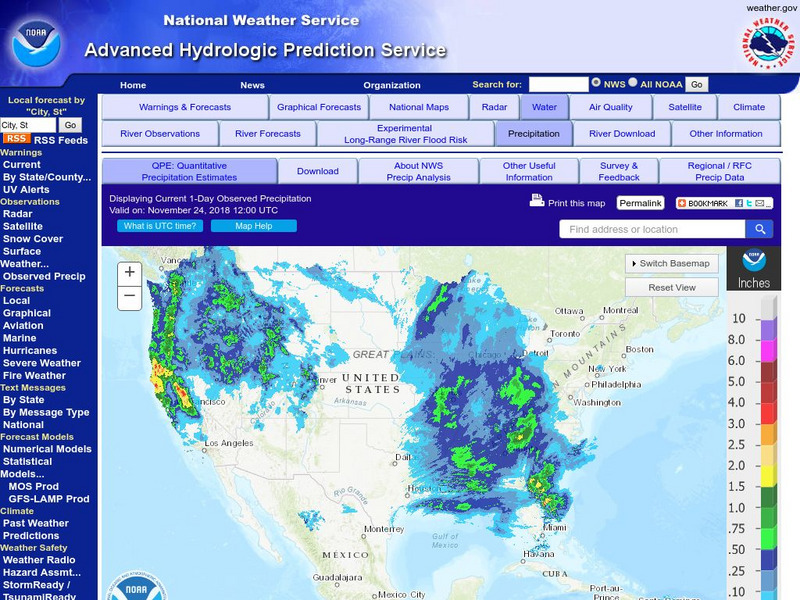
National Weather Service:climate Prediction Center: Daily Precipitation Analysis
Find real-time daily precipitation analysis for the United States, Mexico, and South America as well as accumulated precipitation maps for the past 30 or 90 days.
TeachEngineering
Teach Engineering: Moon Walk
Students learn about the Earth's only natural satellite, the Moon. They discuss the Moon's surface features and human exploration. They also learn about how engineers develop technologies to study and explore the Moon, which also helps...
Science Education Resource Center at Carleton College
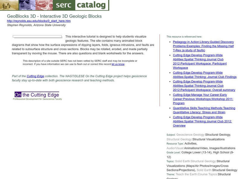
Serc: Geo Blocks 3 D Interactive 3 D Geologic Blocks
This interactive tutorial on visualizing geologic features contains animated block diagrams that show how the surface expressions of dipping layers, folds, igneous intrusions, and faults are related to subsurface structure and cross...
National Institute of Educational Technologies and Teacher Training (Spain)
Ministerio De Educacion: La Situacion De La Tierra en El Universo
Throughout this unit you will make an imaginary journey that will transport you from the remotest infinity of the universe around us, to the surface of our planet. During this trip you will see the main features and components of our...
PBS
Pbs Learning Media: The Planets of the Solar System
As technology has advanced, so do our views and understanding of the solar system. No longer do we have to rely on our unaided eyes to observe planets. View these high-quality images of planets provided by NASA spacecraft.
E-learning for Kids
E Learning for Kids: Science: Mediterranean Sea: Which Types of Landforms Do We Know?
Join Aldo, and learn about many different types of geological landforms.
NASA
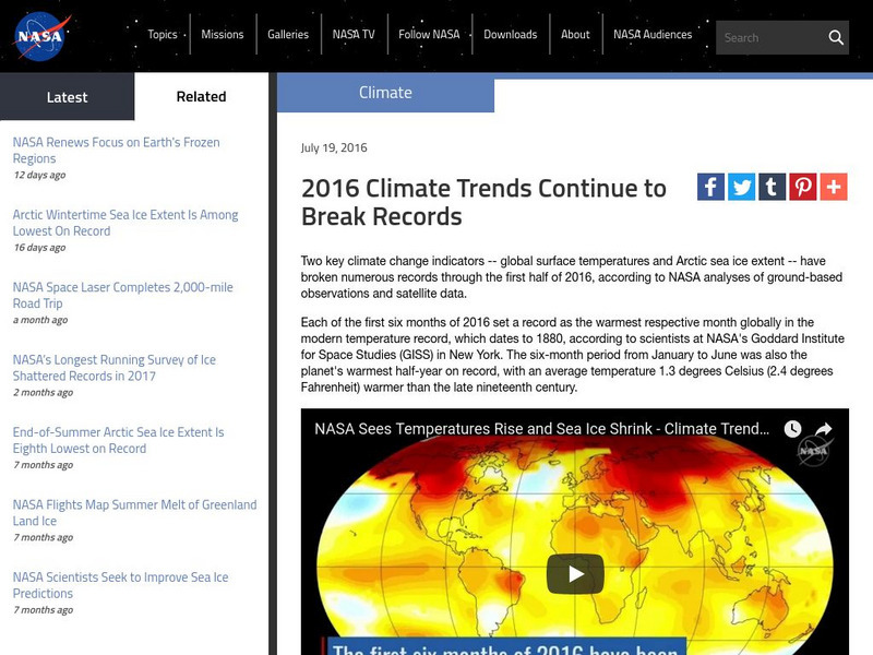
Nasa: 2016 Climate Trends Continue to Break Records
NASA studies of global surface temperatures and Arctic sea ice extent provide data to determine climate changes on Earth. Research for only the first half of 2016 identifies the year as being one of the hottest on record.
Curated OER
Unesco: Finland: High Coast / Kvarken Archipelago
The Kvarken Archipelago (Finland) and the High Coast (Sweden) are situated in the Gulf of Bothnia, a northern extension of the Baltic Sea. The 5,600 islands of the Kvarken Archipelago feature unusual ridged washboard moraines, 'De Geer...
Cengage Learning
Mission to Mars: Project Based Learning
Students will plan a human expedition to the planet Mars. Through this project-based activity, they can choose to learn about the surface of Mars, the trip route, the analogical features between Mars and Earth, nutrition and exercise, or...


