City University of New York
Virtual Geology: Maps Home Page: Topic and Quiz Menus
This collection of resources cover map topics and includes quizzes for improving map and globe usage skills.
Science Education Resource Center at Carleton College
Serc: An Investigation Into Geologic Mapping: Quarry Park
In this geology field lab, students will map an area around Quarry 12 and Quarry 13 in Quarry Park. Using a field notebook, students will take field observations to later produce a basic geologic map, topographic map, and a...
CK-12 Foundation
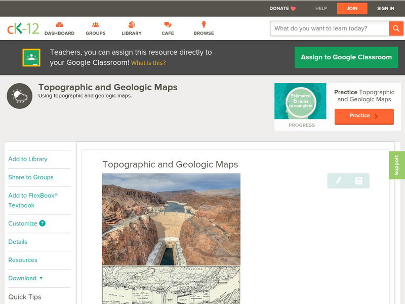
Ck 12: Earth Science: Topographic and Geologic Maps
[Free Registration/Login may be required to access all resource tools.] How to use topographic and geologic maps.
American Geosciences Institute
American Geosciences Institute: Earth Science Week: Geologic Maps and Groundwater
This activity is designed to give students practice using a geologic map to understand how water shapes the land- and is stored within the land- in part of the Grand Canyon.
American Geosciences Institute
American Geosciences Institute: Earth Science Week: Geologic Maps & Earthquakes
This activity is designed to give students practice using a geologic map to assess the likelihood and location of a particular natural hazard- earthquakes- in California.
National Association of Geoscience Teachers
Nagt: Geology Map Observations
In jigsaw groups, students construct the Earth's tectonic plates using geologic maps. Skills such as careful observation, presentation, and synthesis are used to create a map that shows the type and location the plates.
US Geological Survey
Usgs: Geologic Maps
This site has a good description of what this particular type of map represents. It also explains the colors and letter symbols, faults, and strike and dips.
CK-12 Foundation
Ck 12: Earth Science: Map Projections
[Free Registration/Login may be required to access all resource tools.] How to use topographic, bathymetric, and geologic maps.
Sophia Learning
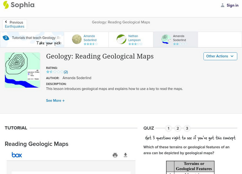
Sophia: Geology: Reading Geological Maps: Lesson 3
This lesson introduces geological maps and explains how to use a key to read the maps. It is 3 of 3 in the series titled "Geology: Reading Geological Maps."
Texas State Historical Association
Texas State Historical Association: Texas Geology Map [Pdf]
A black and white outline map that can be colored in, using the key provided, to show the geologic periods in Texas history. A full color map is available in the Texas Almanac, which is free to download from the main website.
CK-12 Foundation
Ck 12: Earth Science: Maps
[Free Registration/Login may be required to access all resource tools.] How to use topographic, bathymetric, and geologic maps.
CK-12 Foundation
Ck 12: Earth Science: Maps
[Free Registration/Login may be required to access all resource tools.] How to use topographic, bathymetric, and geologic maps.
CK-12 Foundation
Ck 12: Earth Science: Maps
[Free Registration/Login may be required to access all resource tools.] How to use topographic, bathymetric, and geologic maps.
Science Education Resource Center at Carleton College
Serc: My Geologic Address: Locating Oneself in Geologic Time and Process
Young scholars find a local location on a series of geologic maps (local,regional,and global) working from small to large scale. Map keys and map features are consulted in order to compose a "geologic address" from the most specific to...
National Association of Geoscience Teachers
Quaternary Glacio Fluvial History of the Upper Midwest Using Anaglyph Stereo Maps
Students examine the anaglyph stereo map and use textures to generate a surficial geology map of the Upper Midwest. They can then interpret the textures in terms of landforms, geomorphic features, and earth-surface processes, as well as...
Georgia Department of Education
Ga Virtual Learning: Geologic Time and Correlation
In this amazing interactive tutorial you will learn about what methods are used by geologists to learn about the history of the Earth. Investigate a geologic time scale and learn about how scientists have developed and organized a record...
US Geological Survey
U.s. Geological Survey
The U.S. Geological Survey reports on the latest news affecting the earth today, as well as providing a wealth of data, reports, and information.
US Geological Survey
U.s. Geological Survey: Real Time Earthquake Map
An interactive, real-time map showing current earthquakes happening all over the world. Students may choose options for which earthquakes to display by age, depth, magnitude, or intensity.
US Geological Survey
U.s. Geological Survey: The National Map: 125 Years of Topographic Mapping
Website offers a history of the National Program for Topographic Mapping (1884-2009).
US Geological Survey
United States Geological Survey: Topographic Maps
"Note: The information on this page is being retained for technical and historical reference only. The site is not under active maintenance and may include expired information and outdated links." This site gives an overview of the...
Science Education Resource Center at Carleton College
Serc: State Map Poster
This is a project where students pick a state, study its landforms and data about its geology, and produce a poster that outlines how the state's geography evolved over time. An example of such a poster is provided on a downloadable...
Science Education Resource Center at Carleton College
Serc: Investigating the Geologic History of Southeast Minnesota
This activity is an inquiry-based, earth science field investigation of the geology of southeast Minnesota. Students will make observations of rock outcrops and landforms in the region using maps, pictures, and field sampling, then use...
Other
Leeds University: Teaching Resources in Structural Geology
A large collection of resources for teaching structural geology. Information is sorted into topic headings, including basic principles of organization, basic structures (folds, faults, shear zones), virtual field trips, strain, geology...
US Geological Survey
U.s. Geological Survey: The Usgs and Science Education
"Explore things on, in, around and about the earth," with this web site dedicated to K-12 education from the United States Geological Survey. Homework help, science topics and fun learning games for students in Kindergarten through High...
Other popular searches
- Geologic Mapping Loveland
- Geologic Mapping of Loveland
- Geologic Mapping Love Land
- Creating a Geologic Map
- Geologic Mapping of Love Land


![Texas State Historical Association: Texas Geology Map [Pdf] Graphic Texas State Historical Association: Texas Geology Map [Pdf] Graphic](https://d15y2dacu3jp90.cloudfront.net/images/attachment_defaults/resource/large/FPO-knovation.png)


