Curated OER
Exploring our Community
Students research the geography and history of Los Angeles and its surrounding communities.
Curated OER
The Nebraska Brochure
Students research the physical attributes of Nebraska. They work together to create a brochure highlighting the topic of their choice. They share their brochure to the class.
Curated OER
Science: Trouble in the Troposphere
Students research a NASA Website and record information about an assigned city's tropospheric ozone residual monthly climate. In groups, they graph the information for the past year. They form new groups and compare their city's...
Curated OER
Linkages Between Surface Temperature And Tropospheric Ozone
Students organize and analyze data regarding changes in tropospheric ozone and then hypothesize about the consequences of these changes.
Curated OER
Honduras: Going Bananas
Middle schoolers explore the popularity of bananas. They conduct a survey to understand the reasons for their popularity. Students research a banana's journey from the farm to school lunch. They compose a children's book about bananas...
Curated OER
Science: Down Home Dinosaurs
students participate in hands-on activities to discover the different types of fossils. Using teacher-provided materials, they make models of cast and trace fossils. After writing essays describing how traces are formed, students plan a...
Curated OER
Watershed Management
Students investigate the concept of a watershed. They conduct research into the concept using a variety of resources. Students take a field trip to a local watershed to make observations. The outcome is a report concerning the outside...
Curated OER
Drifting Continents, Dynamic Results
High schoolers plot earthquake and volcano data using a Compass Rose Plotting. They explain the relationship between plate movement and connection. They draw conclusions that earthquakes and volcanoes occur in predictable locations.
Curated OER
Annotating Change in Satellite Images
Young scholars compare a series of satellite images taken 3-4 years apart to investigate the effects of human land use. They annotate the images using ImageJ software and use the annotated images to explain their findings.
Curated OER
Earthquakes and Seismic Waves
Learners investigate the Richter scale and seismology in a teacher-led lab in which they are introduced to the concept of seismic waves and epicenter location. They further investigate the inner workings of a seismograph and practice...
Curated OER
Earthquake Introduction
Students investigate basic principles and properties of earthquakes, including vocabulary, causes, and types of faults. They examine history of seismic activity in their home state, and complete "Locating Patterns of Distribution" lab.
City University of New York
Virtual Geology: Maps Home Page: Topic and Quiz Menus
This collection of resources cover map topics and includes quizzes for improving map and globe usage skills.
Science Education Resource Center at Carleton College
Serc: An Investigation Into Geologic Mapping: Quarry Park
In this geology field lab, students will map an area around Quarry 12 and Quarry 13 in Quarry Park. Using a field notebook, students will take field observations to later produce a basic geologic map, topographic map, and a...
CK-12 Foundation
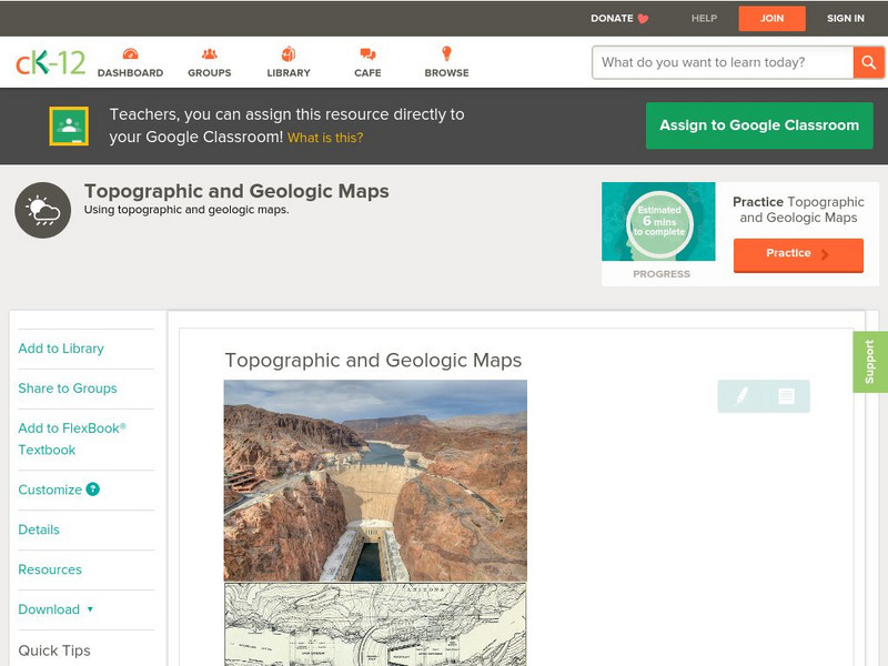
Ck 12: Earth Science: Topographic and Geologic Maps
[Free Registration/Login may be required to access all resource tools.] How to use topographic and geologic maps.
American Geosciences Institute
American Geosciences Institute: Earth Science Week: Geologic Maps and Groundwater
This activity is designed to give students practice using a geologic map to understand how water shapes the land- and is stored within the land- in part of the Grand Canyon.
American Geosciences Institute
American Geosciences Institute: Earth Science Week: Geologic Maps & Earthquakes
This activity is designed to give students practice using a geologic map to assess the likelihood and location of a particular natural hazard- earthquakes- in California.
American Geosciences Institute
American Geosciences Institute: Earth Science Week: What's Under My Feet? Learning to Use a Geologic Map
Students use geologic maps to learn about rocks and minerals.
National Association of Geoscience Teachers
Nagt: Geology Map Observations
In jigsaw groups, students construct the Earth's tectonic plates using geologic maps. Skills such as careful observation, presentation, and synthesis are used to create a map that shows the type and location the plates.
Curated OER
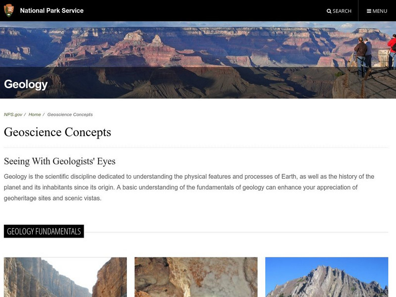
National Park Service: North Cascades National Park Geology
Resource explores the history and geology of the Cascade Mountains. Content includes a geologic story, virtual field trip, a look at plate tectonics and the rocks & minerals found in the Cascade Mountains, geologic maps, and more.
US Geological Survey
Usgs: Geologic Maps
This site has a good description of what this particular type of map represents. It also explains the colors and letter symbols, faults, and strike and dips.
CK-12 Foundation
Ck 12: Earth Science: Map Projections
[Free Registration/Login may be required to access all resource tools.] How to use topographic, bathymetric, and geologic maps.
Sophia Learning
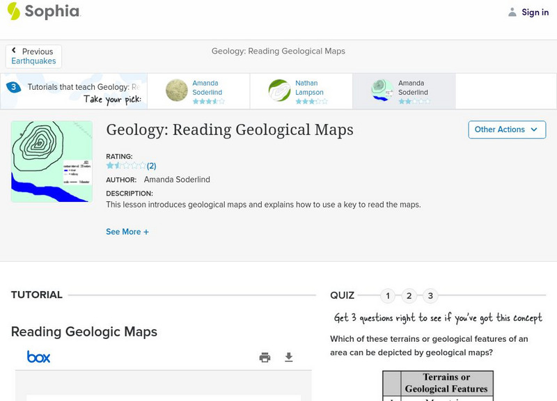
Sophia: Geology: Reading Geological Maps: Lesson 3
This lesson introduces geological maps and explains how to use a key to read the maps. It is 3 of 3 in the series titled "Geology: Reading Geological Maps."
Texas State Historical Association
Texas State Historical Association: Texas Geology Map [Pdf]
A black and white outline map that can be colored in, using the key provided, to show the geologic periods in Texas history. A full color map is available in the Texas Almanac, which is free to download from the main website.
CK-12 Foundation
Ck 12: Earth Science: Maps
[Free Registration/Login may be required to access all resource tools.] How to use topographic, bathymetric, and geologic maps.
Other popular searches
- Geologic Mapping Loveland
- Geologic Mapping of Loveland
- Geologic Mapping Love Land
- Creating a Geologic Map
- Geologic Mapping of Love Land













![Texas State Historical Association: Texas Geology Map [Pdf] Graphic Texas State Historical Association: Texas Geology Map [Pdf] Graphic](https://d15y2dacu3jp90.cloudfront.net/images/attachment_defaults/resource/large/FPO-knovation.png)
