US Geological Survey
U.s. Geological Survey: Water Resources of the United States
Visit the U.S. Geological Survey's website for a wide variety of information on water. Content includes data on water quality, water use, acid rain, among others; publications; information on water resource programs; maps; information on...
US Geological Survey
U.s. Geological Survey: Groundwater Information by Topic
A massive amount of information about groundwater. Topics covered include groundwater basics, humans and groundwater, groundwater quality, and its place in the water cycle. Includes true-and-false quiz and a Q&A section, as well as a...
US Geological Survey
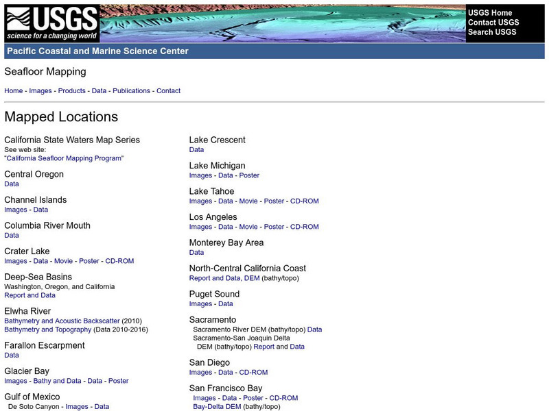
Usgs: Pacific Seafloor Mapping Project
This site describes the details of a project to map the seafloor of the Pacific Ocean. Includes images, movies, links to related information, and more.
Georgia Department of Education
Ga Virtual Learning: Geological Oceanography
This unit will focus on the geological characteristics of the world ocean, plate tectonics, and the mapping of the ocean floor.
US Geological Survey
Us Geological Survey: Gulkana Glacier
Overview and maps of the Gulkana Glacier along the south flank of the eastern Alaska Range.
US Geological Survey
Us Geological Survey: Earthquake Hazards
Find out about earthquake hazards and damage. Some of the topics are an introduction to hazards, hazard maps, soil types and damage, and recent damage caused by earthquakes.
US Geological Survey
U.s. Geological Survey:the Great M9.2 Alaska Earthquake of March 27, 1964
A description of the earthquake in Prince William Sound, Alaska in 1964. Links to isoseismal map, earthquake damage photos, and seismogram of the earthquake.
US Geological Survey
U.s. Geological Survey: Water Science for Schools
A collection of resources--pictures, maps, data, glossary--about water and the water cycle.
Famous Scientists
Famous Scientists: William Smith
Find out about the English geologist credited with creating the first nationwide geological map of England and Wales.
American Geosciences Institute
American Geosciences Institute: Earth Science Week: Map Making Basics
This activity will help students discover some features as they create a geologic map.
University of California
Us Geological Survey: Cartogram Central
The USGS offers detailed information on Types of Cartograms, Congressional Districts, Software for Cartograms, Publications, and a Carto-Gallery.
US Geological Survey
Usgs: Schoolyard Geology
The purpose of this lesson plan is to provide teachers with some activities they can do on school grounds. Activities include mapping, describing sedimentary rocks, and solving a mystery.
Other
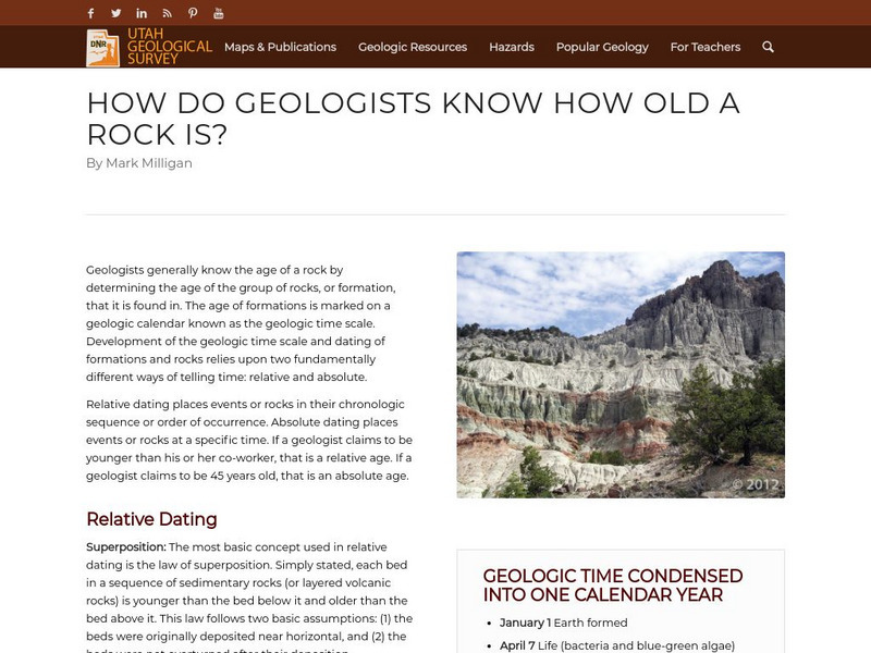
Utah Geological Survey: How Do Geologists Know How Old a Rock Is?
Geologists generally know the age of a rock by determining the age of the group of rocks, or formation, that it is found in. The age of formations is marked on a geologic calendar known as the geologic time scale. Development of the...
US Geological Survey
Usgs: The National Map
The United States Geological Survey explains the creation and the uses of the National Map. The student can access the map and explore the United States in an interactive setting.
Library of Congress
Loc: Mapping the National Parks
This collection documents the history, cultural aspects and geological formations of areas that eventually became National Parks.
Alberta Online Encyclopedia
Alberta Online Encyclopedia: Geology
The geology of Alberta is profiled on this site. Drop menus reveal sub-topics ..geological time scale, rock formations in Alberta, and so forth.Graphics and maps are included.
American Geosciences Institute
American Geosciences Institute: Earth Science Week: Seismic Mapping
Students become scientists, and learn about the usef of seismic technology to map patterns of rock formations below the surface of the Earth.
Indiana University
Indiana University Bloomington: Cupcake Drilling [Pdf]
In this lesson, students will model geologic drilling using layered cupcakes to learn about rocks below the Earth's surface. Students will locate features on a geologic map and observe cupcake cores to evaluate the scientific techniques...
PBS
Pbs Teachers: Deadly Shadow of Vesuvius
Observe the relationship among volcanoes, earthquakes and lithospheric plates by collecting data and creating maps. This activity was created to be used with the NOVA program, "Deadly Shadow of Vesuvius" but the video is not necessary...
National Association of Geoscience Teachers
Nagt: Bringing the Geologic Time Scale Down to Earth in the Students' Backyard
This activity is specifically designed for a field trip to Drayton Hall, which is a historic plantation near Charleston, South Carolina. It does provide a model of how a similar activity could be designed for a local area, and there are...
US Geological Survey
U.s. Geological Survey: Education: Disease Maps
Disease maps that trace the incidence of West Nile virus, encephalitis and dengue fever across the United States and its territories demonstrate one of the many uses of geography.
US Geological Survey
U.s. Geological Survey: Map Your Schoolyard
Lesson plan introduces the concept of maps while providing a forum to practice the skill of navigating using a map.
US Geological Survey
Us Geological Survey: Map of Ring of Fire
A clear map of the Ring of Fire, with each volcano named. There are a few sentences of caption under the map.
US Geological Survey
U.s. Geological Survey: Geology of the National Parks
Access, from one index page, to three-dimensional photographs of all U.S. national parks. Standard photographic images and tours and selected geological resources (e.g., stratigraphic maps) for each park can also be linked to from this...
Other popular searches
- Geologic Mapping Loveland
- Geologic Mapping of Loveland
- Geologic Mapping Love Land
- Creating a Geologic Map
- Geologic Mapping of Love Land


