Science Education Resource Center at Carleton College
Serc: Fairly Simple Geology Exercises
A collection of geology exercises which include relevant background information, complete instructions, student handouts, and answer keys. Topics include rock and mineral identification, Bowen's reaction series, crystal models,...
Science Education Resource Center at Carleton College
Serc: National Park Service: Park Geology
Take a journey to the national parks to gain information about their geology through photographs, maps, and field notes. Learn about disturbed lands restoration, mineral and resource management, fossil deposits, geological features, and...
US Geological Survey
U.s. Geological Survey: Building Stones of Our Nation's Capital
Pictures and text describe the source and appearance of many of the stones used in the buildings and monuments in Washington, D.C. Included are a geologic time chart and an illustrated map of the geologic and geographic features of the...
US Geological Survey
Us Geological Survey: Glaciers Help Shape Mount Rainier
Description, facts, maps and history of Mt. Rainier, in Washington State. Also links to recent research and publications.
US Geological Survey
U.s. Geological Survey: Minerals Information
The USGS offers maps of the locations of mines and mineral processing plants. You can find the sources for everything from aluminum to zircon!
US Geological Survey
U.s. Geological Survey: Magnitude 9.0 Near the East Coast of Honshu, Japan
Facts and figures on the earthquake and tsunami in Japan in March, 2011. Be sure to click on the tabs across the top that provide: summary, maps, scientific and technical information, as well as information on the tsunami.
Other
Paleogeography and Geologic Evolution of North America
A collection of maps depicting the paleogeography of 550 million years of geologic history.
Kentucky Educational Television
Kentucky Educational Television: Geology and the Civil War: Battle of Perryville
An interesting look at the Battle of Perryville based on the geology of the region. A map shows the initial and final positions of both the Union and Confederate armies.
US Geological Survey
U.s. Geological Survey: Haleakala Crater and the East Maui Volcano
Information from USGS about the Haleakala Crater and the East Maui volcano, including the volcano's eruptive history, maps of the crater, and geologic data sets.
Science Education Resource Center at Carleton College
Serc: Topographical Maps, Contour Lines and Profiles
In this mapping field lab young scholars determine the elevation of a given object in a designated area on the school campus using cartography tools. Then they use of these tools to create a contour map of the area.
The Wonder of Science
The Wonder of Science: 4 Ess2 2: Mapping Earth's Features
Work samples, phenomena, assessment templates, and videos that directly address standard 4-ESS2-2: mapping Earth's features.
Science Education Resource Center at Carleton College
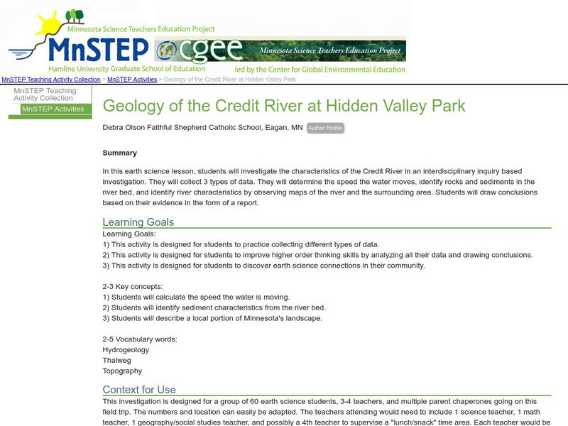
Serc: Geology of the Credit River at Hidden Valley Park
In this earth science instructional activity, middle schoolers investigate the characteristics of the Credit River in an interdisciplinary inquiry based investigation. They will determine the speed the water moves, identify rocks and...
US Geological Survey
U.s. Geological Survey: Earthquakes: Liquefaction
Maps and images that show liquefaction, the process by which water-filled sediment loses strength and acts like a fluid.
Other
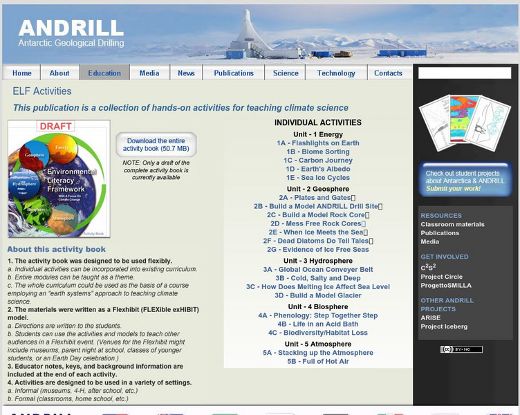
Antarctic Geological Drilling: Environmental Literacy Framework Activities
An impressive collection of lessons on climate science and climate change. The entire book can be downloaded. As well, each lesson has its own page with some combination of background information, PowerPoints, images, maps, glossaries,...
US Geological Survey
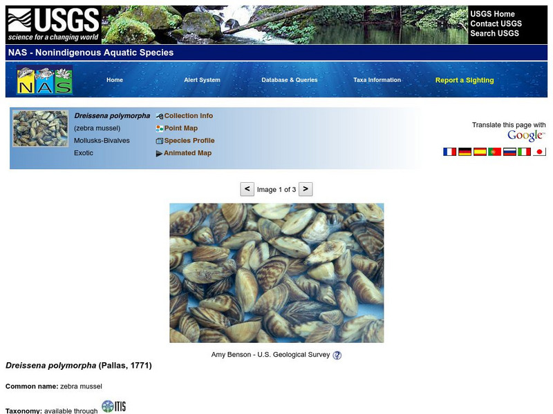
U.s Geological Survey: Nonindigenous Aquatic Species (Nas): Zebra Mussel
A detailed site that describes the physical characteristics of the zebra mussel, provides a map that depicts the native range of this shellfish, discusses the means of introduction into our country, and delves into the impact of this...
Science Education Resource Center at Carleton College
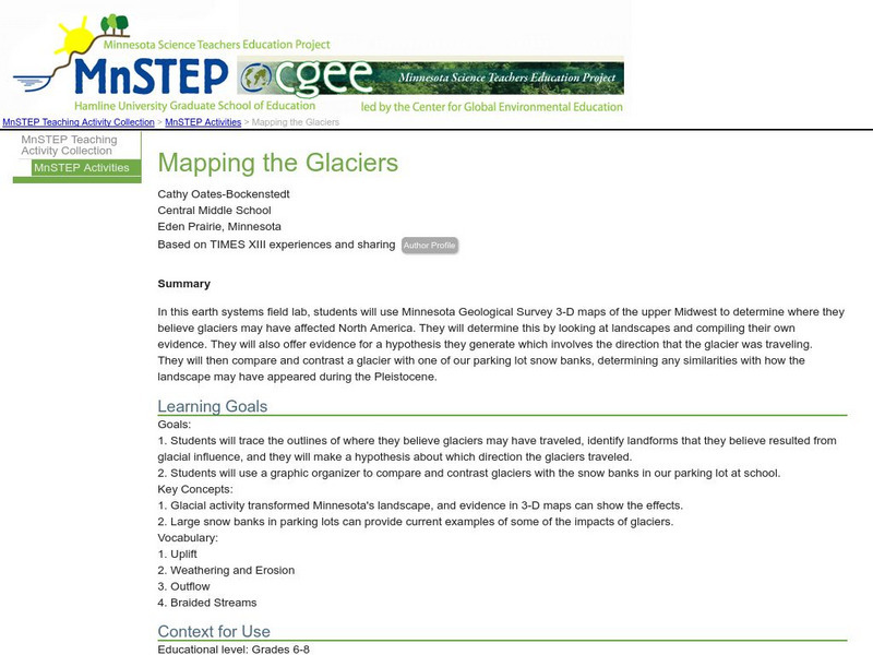
Serc: Mapping the Glaciers
In this activity, students will use Minnesota Geological Survey 3-D maps of the upper Midwest to trace the outlines of where they believe glaciers may have affected North America. They will identify landforms that resulted from glacial...
City University of New York
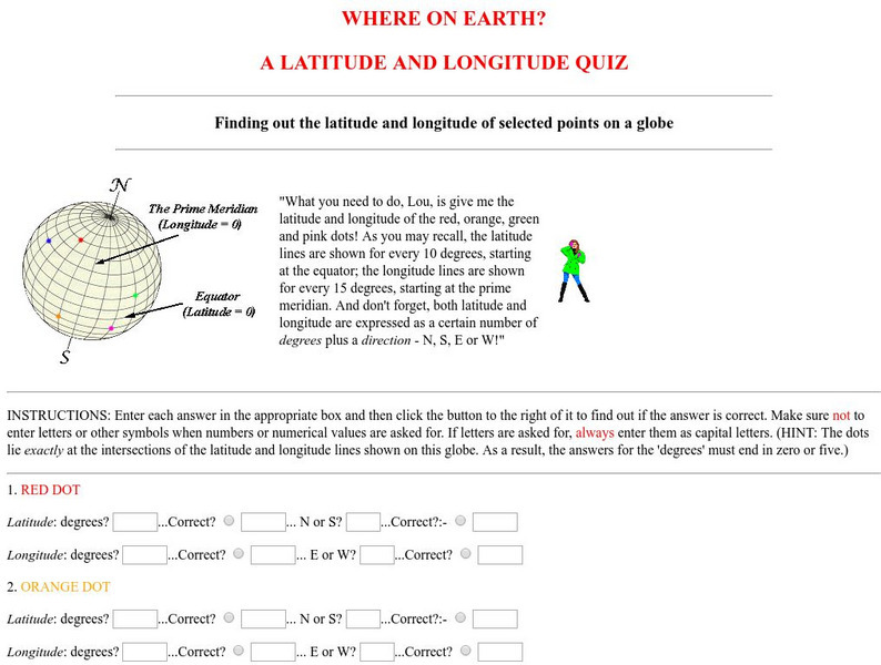
Virtual Geology: Where on Earth: A Latitude and Longitude Quiz
This quiz starts with select points on a globe. Students must determine the latitude, longitude, and direction for each point.
US Geological Survey
Us Geological Society: Hawaiian Volcanoes
This is an online book about Hawaiian volcanoes. You can learn about the past, present and future of the Hawaiian volcanoes.
Curated OER
Educational Technology Clearinghouse: Maps Etc: Geology of North Carolina, 1903
A geological map from 1903 of the state of North Carolina, keyed to show the Tertiary and Quaternary, Mesozoic, and Azoic (Archaean) geological regions.
Curated OER
Educational Technology Clearinghouse: Maps Etc: Denver Basin, 1911
A geologic map of a section of the Colorado Front Range near Denver and Golden showing the structure and topography of the common border between the Great Plains and Southern Rockies. The map is keyed to show rock types, formations, and...
Curated OER
Educational Technology Clearinghouse: Maps Etc: West Rock Ridge, 1911
A geologic map from 1911 of south-central Connecticut showing the displacement of trap ridges near northern end of West Rock Ridge and corresponding displacement in the crystallines of the bordering uplands.
US Geological Survey
U.s. Geological Survey: Search Earthquake Catalog
Use this interactive map to find out about earthquakes which have happened around the world since about 1970.
US Department of Agriculture
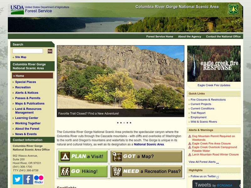
Columbia River Gorge National Scenic Area Columbia River
This site offers information about the Columbia River, its history and gorge geology.
Other
Nmbgmr: Resources for Teachers
Locate a variety of maps on New Mexico's minerals and resources, read issues of "Lite Geology," take virtual tours of state sites, and find games, puzzles, and activities for young people.
Other popular searches
- Geologic Mapping Loveland
- Geologic Mapping of Loveland
- Geologic Mapping Love Land
- Creating a Geologic Map
- Geologic Mapping of Love Land


