Other
Nmbgmr: Resources for Teachers
Locate a variety of maps on New Mexico's minerals and resources, read issues of "Lite Geology," take virtual tours of state sites, and find games, puzzles, and activities for young people.
Other
Nmbgmr: Resources for Teachers
Locate a variety of maps on New Mexico's minerals and resources, read issues of "Lite Geology," take virtual tours of state sites, and find games, puzzles, and activities for young people.
American Geosciences Institute
American Geosciences Institute: Earth Science Week: Houston Activity: Texas Rocks
Using a geologic time scale and map students investigate the rocks in their area.
US Geological Survey
Us Geological Survey: Saturn Satellites
This resource provides images of Saturns satellites.
Science Education Resource Center at Carleton College
Serc: Getting to the Point: Exploring Tectonic Motion Point Reyes Seashore
The intent of this module is for students to make straightforward numerical calculations as they learn about earthquake geology at a National Park.
Other
Paleomap Project
Virtual reality animation map showing continental drift from 200mya to the present. The animation map is small but effective in showing the positions of the land masses.
US Geological Survey
United States Geological Survey: Apollo Mission Lunar Panoramas
View interactive panoramic views taken by Apollo missions 11, 12, 14, 16 and 17. You can zoom in on each panoramic to see more detail.
US Geological Survey
U.s. Geological Survey: Did You Feel It?
Locate all the most recent earthquakes on this interactive map. Data includes location, magnitude and time of the quake.
Science Buddies
Science Buddies: Ring of Fire 2: What Earthquakes Tell Us About Plate Tectonics
The theory of plate tectonics revolutionized geology in the 1960's. In this project you can explore the connection between plate tectonics and earthquakes by mapping historical seismic data.
Science Buddies
Science Buddies: Locating the Epicenter of an Earthquake
When an earthquake happens, how are scientists able to determine the original location of the quake? In this project, you'll use archived data from a network of seismometers to find out for yourself. You'll create your own seismograms...
TeachEngineering
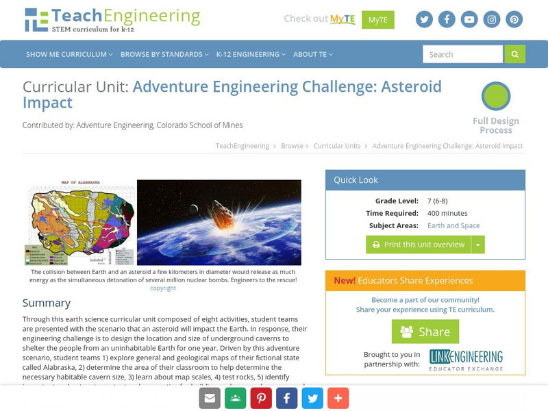
Teach Engineering: Asteroid Impact
Asteroid Impact is an 8-10 class long (350-450 min) earth science curricular unit where student teams are posed with the scenario that an asteroid will impact earth. They must design the location and size of underground caverns to save...
US Geological Survey
U.s. Geological Survey: Earthquake Lists, Maps, and Statistics
All kinds of earthquake data compiled here. Find the deadliest earthquakes, most damaging earthquakes, world and US statistics, historical earthquake lists, and more.
US Geological Survey
U.s. Geological Survey: Teaching About and Using Coordinate Systems [Pdf]
Provides lessons and activities for teaching about the different types of coordinate systems including the Cartesian coordinate system, the Geographic Coordinate System, the Universal Transverse Mercator grid, and the State Plane...
Other
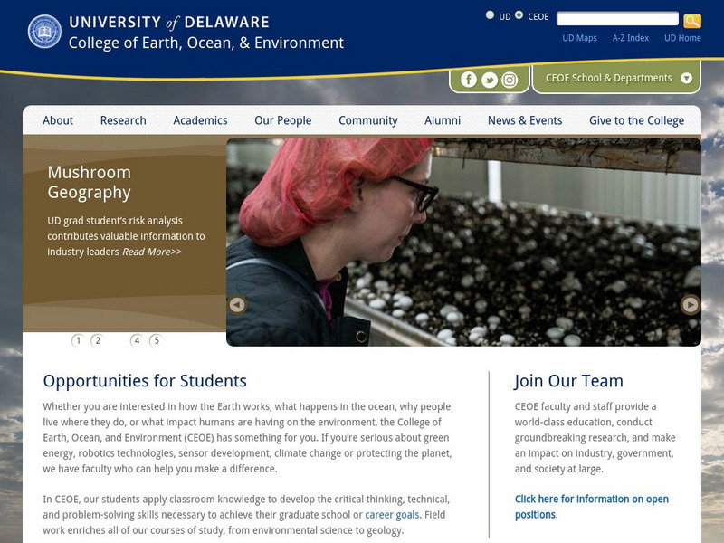
University of Delaware: Plate Tectonics
This site is a very simple overview of plate tectonics. It includes a map of all the major plates and a diagram of the layers of the earth.
Curated OER
National Park Service: Gates of the Arctic National Park and Preserve, Alaska
Gates of the Arctic National Park and Preserve offers information about its expansive wilderness. Here you can find park maps and visitor information, as well as information on the park's geology. A "teacher feature" includes educational...
Other
Kentucky Atlas and Gazetteer: The Commonwealth of Kentucky
This resource provides information about Kentucky's history, geography, geology, counties, physiography, relief, flag, and much, much more.
US Geological Survey
Usgs: Water Science Glossary of Terms
The United States Geological Survey offers a complete look at water science in glossary form. Take advantage of the topic guides at the top of the site. You'll find great maps, clipart and activities centers. Click Home to access the...
Other
National Atlas of the United States
The National Atlas of the United States provides comprehensive information collected by the Federal Government and delivered through interactive maps. Select from a variety of scientific, societal, and historical information to be...
University of California
Ucmp: Island Biogeography and Evolution
This is a lesson designed by a biology teacher. In it, students use maps and evidence of island age, molecular genetics, morphology, and distance apart to determine how the islands came to be occupied by different species of lizards. It...
Other
Maine.gov: Facts and History
The official website of the state of Maine provides a detailed overview of its facts, history, maps, weather, government and more.
Annenberg Foundation
Annenberg Learner: Journey North: Manatee
View this presentation to learn about manatees and track their migration. Includes information about manatee characteristics, life span, behavior, and migration. There is also a migration map with updated sightings.
US Geological Survey
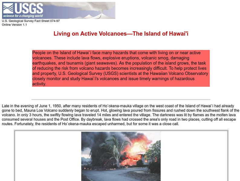
Living on Active Volcanoes on Hawaii
Living on the island of Hawaii brings you the hazard of living near a volcano. Read about actual eruptions and get scientific seismic information and maps.
US Geological Survey
Usgs: Monterey Submarine Canyon, California Moored Array Data Report [Pdf]
This advanced site discusses some of the research done and research techniques used in studies of the Monterey Canyon. Great graphics showing the position of the canyon relative to other features of the continental margin. Also...
University of Chicago
University of Chicago: The Giza Plateau Mapping Project
Resource focuses on the the geology and topography of the Giza plateau, the construction and function of the Sphinx, the Great Pyrimids, the associated tombs and temples, and the Old Kingdom town in the vicinity.
Other popular searches
- Geologic Mapping Loveland
- Geologic Mapping of Loveland
- Geologic Mapping Love Land
- Creating a Geologic Map
- Geologic Mapping of Love Land



![U.s. Geological Survey: Teaching About and Using Coordinate Systems [Pdf] Lesson Plan U.s. Geological Survey: Teaching About and Using Coordinate Systems [Pdf] Lesson Plan](https://d15y2dacu3jp90.cloudfront.net/images/attachment_defaults/resource/large/FPO-knovation.png)
