US Geological Survey
U.s. Geological Society: Landslide Hazards [Pdf]
Information about landslide hazards is presented in a detailed fact sheet. Landslide hazards occur in many places around the world and include fast-moving debris flows, slow-moving landslides, and a variety of flows and slides initiating...
US Geological Survey
Us Geological Survey: Earthquake Hazards
Find out about earthquake hazards and damage. Some of the topics are an introduction to hazards, hazard maps, soil types and damage, and recent damage caused by earthquakes.
US Geological Survey
U.s. Geological Survey: The Usgs and Science Education
"Explore things on, in, around and about the earth," with this web site dedicated to K-12 education from the United States Geological Survey. Homework help, science topics and fun learning games for students in Kindergarten through High...
American Geosciences Institute
American Geosciences Institute: Earth Science Week: Geologic Maps & Earthquakes
This activity is designed to give students practice using a geologic map to assess the likelihood and location of a particular natural hazard- earthquakes- in California.
US Geological Survey
Usgs: Volcanic Hazards, Features, and Phenomena
Site from the U.S. Geological Survey provides a brief list of volcano terminology including descriptions as well as links to major menus.
US Geological Survey
Us Geological Survey: Potential Hazards of Mt. Rainier
Mt. Rainier first erupted a million years ago. Find out all about its eruptive history and potential hazards that could threaten people today.
US Geological Survey
Us Geological Survey: How Hawaiian Volcanoes Work
This page from the US Geological Survey has several links to pages that explain the formation of volcanoes. These links will also explain the creation of new land and other hazards.
Science Education Resource Center at Carleton College
Serc: Asbestos Hazard Assessment
This interactive site introduces students to concepts related to asbestos and how geologists analyze asbestos in building materials. The site is divided into three components: the geology of asbestos, identifying asbestos in the lab, and...
US Geological Survey
Usgs: Landslide Hazards Program
Discusses the problems associated with landslides, where they occur, and why they occur.
US Geological Survey
U.s. Geological Survey Home Page: Acid Rain
Learn about acid rain and the devasting effects it has on the U.S., particularly on our nation's capital and monuments.
Cosmo Learning
Cosmo Learning: Engineering Geology
A collection of video lectures from a course introducing students to the basics of engineering geology. Webpage includes forty lectures from a professor at the National Programme on Technology Enhanced Learning. Lectures vary in length...
US Geological Survey
U.s. Geological Survey: Earthquakes for Kids
Comprehensive information on earthquakes. Includes photos from famous earthquakes, ask-an-expert feature, earthquake science, history of major earthquakes, a pictorial ABC, adults' guides for dealing with children's emotions, animations...
US Geological Survey
Usgs: What Are Volcano Hazards?
The U.S. Geological Survey (USGS) scientists are assessing hazards at many of the almost 70 active and potentially active volcanoes in the United States. In this article, learn how they are closely monitoring activity at the most...
National Association of Geoscience Teachers
Nagt: Investigating Slope Failure and Landscape Evolution
Learners investigate the behavior of a slope profile over geological timescales using a very simple experimental apparatus. The lab allows students to understand concepts of equilibrium, controls on slope profile, issues surrounding...
US Geological Survey
U.s. Geological Survey: Earthquakes: Liquefaction
Maps and images that show liquefaction, the process by which water-filled sediment loses strength and acts like a fluid.
US Geological Survey
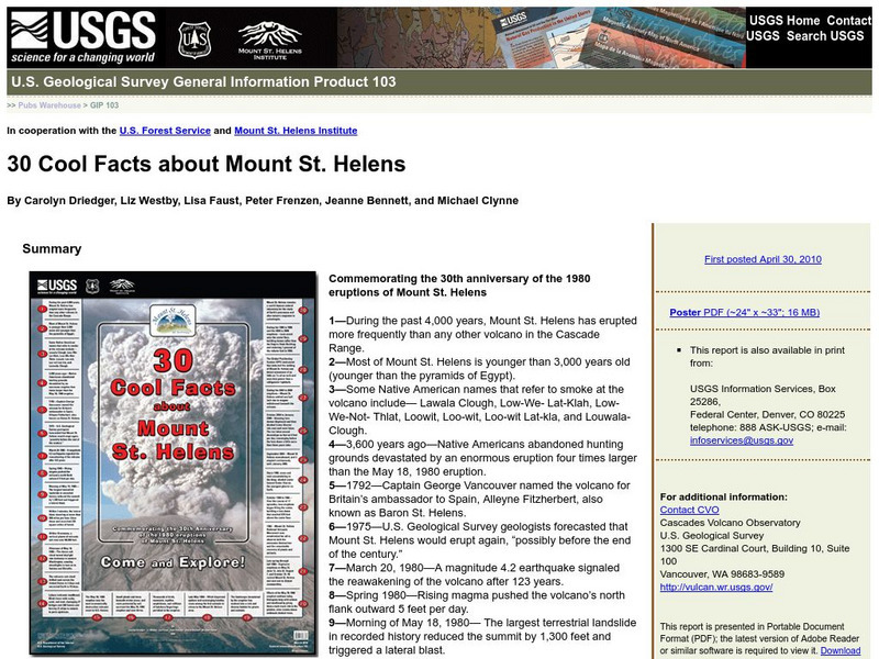
U.s. Geological Survey: 30 Cool Facts About Mount St. Helens
30 fun facts are presented to commemorate the 30th anniversary of the 1980 eruptions of Mount St. Helens.
US Geological Survey
U.s. Geological Survey: Learning About Earthquakes Coloring Pages
Coloring pictures of seismic waves, earthquake safety and hazard maps. [PDF] Links to other handy tools, including trivia, stories, games and fun projects.
Other
Digital Library for Earth System Education (Dlese)
This resource provides materials for teachers on a huge array of topics. Search site by topic, grade level, and desired output (such as lesson plan, case study, assessment or tutorial). Site is focused on earth science, geography, and...
Other
Hooper Virtual Paleontological Museum
This site provides a virtual tour to the Hooper Virtual Paleontological Museum. There are many virtual exhibits to visit through a series of links, including Mass Extinctions and Human Evolution. Very descriptive and fun tour!
Indiana University
Indiana University Bloomington: Modeling Liquefaction [Pdf]
This activity allows young scholars to observe a small-scale model of liquefaction, a hazard associated with strong-magnitude earthquakes. The sand, water, and ping pong ball(s) represent the composites of soil: sediment, water, and air,...
Georgia Department of Education
Ga Virtual Learning: Earthquakes and the Earth's Interior
In this interactive tutorial you will learn about earthquakes and seismic waves. Learn about why and how these form and also discuss the hazards - direct and indirect - posed by earthquakes. You will then learn how our knowledge of...
Georgia Department of Education
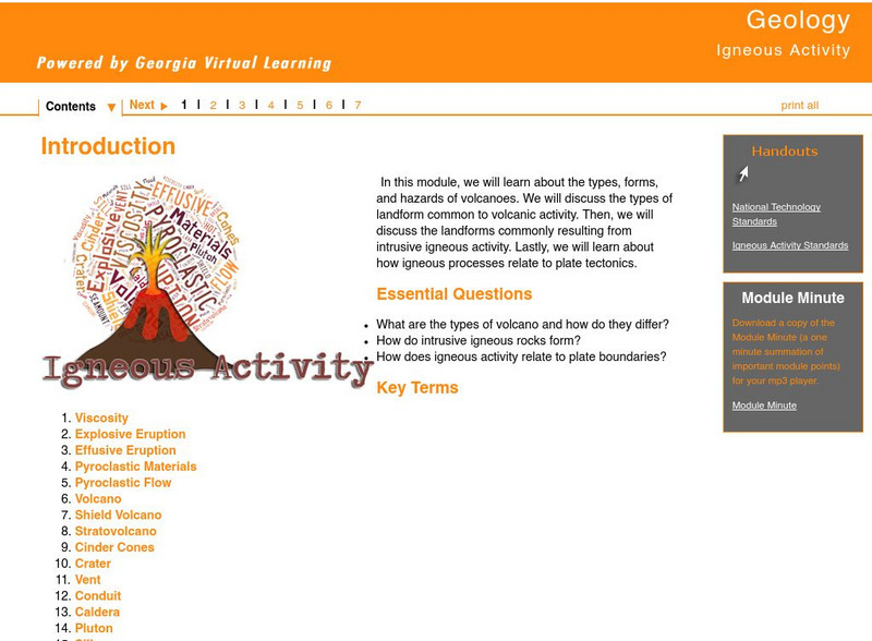
Ga Virtual Learning: Igneous Activity
In this interactive tutorial you will learn about the types, forms, and hazards of volcanoes. The types of landform common to volcanic activity is discussed. Then, the landforms commonly resulting from intrusive igneous activity are...
Columbia University
Scientific Background on the Indian Ocean Earthquake and Tsunami
This site features information and related links that can be used by students and scientists to understand the events that led to the December 2004 Indian Ocean tsunami.
![U.s. Geological Society: Landslide Hazards [Pdf] Handout U.s. Geological Society: Landslide Hazards [Pdf] Handout](https://d15y2dacu3jp90.cloudfront.net/images/attachment_defaults/resource/large/FPO-knovation.png)
