Hi, what do you want to do?
Idaho State University
Idaho State University: Environmental Geology: Volcanoes
Investigate the science of volcanoes on the surface of the earth. Discover their types, hazards and effects.
Georgia Department of Education
Ga Virtual Learning: Geology: Surface Processes
In this interactive tutorial, you will learn about the types of weathering and erosion that rocks and landforms undergo. This will lead to a discussion of soil and the types of soil. Lastly, you will learn about mass movements of soil,...
US Geological Survey
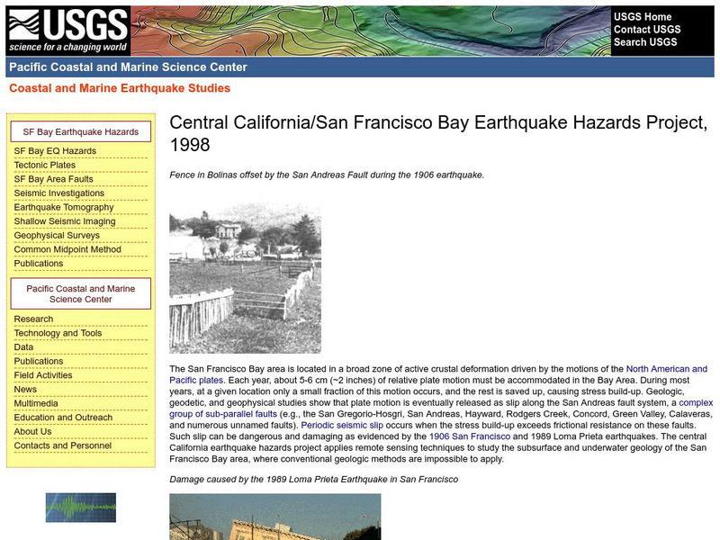
Central California Earthquake Hazards Project
Here is a review of the geology behind earthquakes and what is being done to predict the "Big One" on the San Andreas Fault.
US Geological Survey
Us Geological Survey: Bioremediation: Nature's Way to a Cleaner Environment[pdf]
Excellent information provided by the U.S. Geological Survey.
US Geological Survey
U.s. Geological Survey: The Usgs and Science Education
"Explore things on, in, around and about the earth," with this web site dedicated to K-12 education from the United States Geological Survey. Homework help, science topics and fun learning games for students in Kindergarten through High...
American Geosciences Institute
American Geosciences Institute: Earth Science Week: Geologic Maps & Earthquakes
This activity is designed to give students practice using a geologic map to assess the likelihood and location of a particular natural hazard- earthquakes- in California.
US Geological Survey
U.s. Geological Survey: Cool Earthquake Facts
The U.S. Geological Survey complied a list of 36 fascinating facts about earthquakes. A good, short informational text piece which could be used for a content area reading lesson.
US Geological Survey
Usgs: Volcanic Hazards, Features, and Phenomena
Site from the U.S. Geological Survey provides a brief list of volcano terminology including descriptions as well as links to major menus.
US Geological Survey
Us Geological Survey: Potential Hazards of Mt. Rainier
Mt. Rainier first erupted a million years ago. Find out all about its eruptive history and potential hazards that could threaten people today.
US Geological Survey
Us Geological Survey: How Hawaiian Volcanoes Work
This page from the US Geological Survey has several links to pages that explain the formation of volcanoes. These links will also explain the creation of new land and other hazards.
Science Education Resource Center at Carleton College
Serc: Asbestos Hazard Assessment
This interactive site introduces students to concepts related to asbestos and how geologists analyze asbestos in building materials. The site is divided into three components: the geology of asbestos, identifying asbestos in the lab, and...
US Geological Survey
U.s. Geological Survey: Landslide Types and Processes [Pdf]
The information in this publication provides an introductory primer on understanding basic scientific facts about landslides-the different types of landslides, how they are initiated, and some basic information about how they can begin...
PBS
Pbs Learning Media: Coastal Geological Processes
This interactive resource adapted from the National Park Service describes the many forces that affect shorelines, including tides, weathering, erosion, and deposition. Includes background reading handout and discussion questions.
US Geological Survey
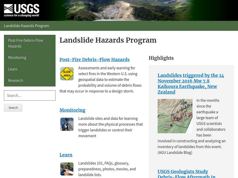
Usgs: Landslide Hazards Program
Discusses the problems associated with landslides, where they occur, and why they occur.
US Geological Survey
U.s. Geological Survey Home Page: Acid Rain
Learn about acid rain and the devasting effects it has on the U.S., particularly on our nation's capital and monuments.
Other
Geology.com: United States of America
The following website includes a satellite image of the United States. It also includes a list of bordering countries, cities, locations, natural resources, natural hazards, and environmental issues.
Cosmo Learning
Cosmo Learning: Engineering Geology
A collection of video lectures from a course introducing students to the basics of engineering geology. Webpage includes forty lectures from a professor at the National Programme on Technology Enhanced Learning. Lectures vary in length...
US Geological Survey
U.s. Geological Survey: Earthquakes for Kids
Comprehensive information on earthquakes. Includes photos from famous earthquakes, ask-an-expert feature, earthquake science, history of major earthquakes, a pictorial ABC, adults' guides for dealing with children's emotions, animations...
US Geological Survey
Usgs: What Are Volcano Hazards?
The U.S. Geological Survey (USGS) scientists are assessing hazards at many of the almost 70 active and potentially active volcanoes in the United States. In this article, learn how they are closely monitoring activity at the most...
National Association of Geoscience Teachers
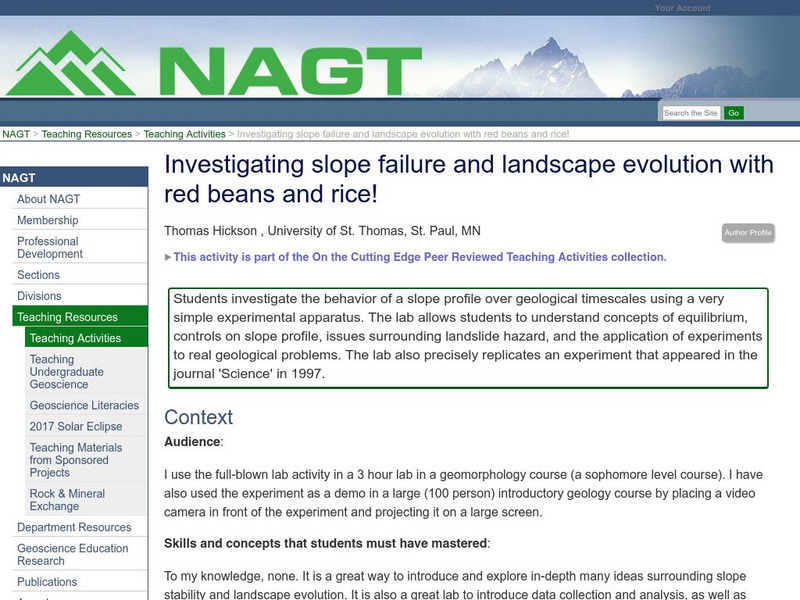
Nagt: Investigating Slope Failure and Landscape Evolution
Students investigate the behavior of a slope profile over geological timescales using a very simple experimental apparatus. The lab allows students to understand concepts of equilibrium, controls on slope profile, issues surrounding...
US Geological Survey
U.s. Geological Survey: Earthquakes: Liquefaction
Maps and images that show liquefaction, the process by which water-filled sediment loses strength and acts like a fluid.
US Geological Survey
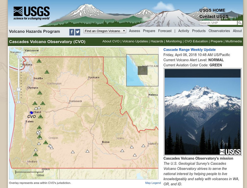
U.s. Geological Survey: Volcano Hazards Program: Cascades Volcanoes Observatory
Information about all the volcanoes in the Cascades, which range from Canada in the north to California in the south.
US Geological Survey
U.s. Geological Survey: Floods and Flood Plains
This site provides a detailed report on floods and flood plains. Facts about weather patterns, zoning restrictions, and dams and levees are given along with diagrams and photos.
US Geological Survey
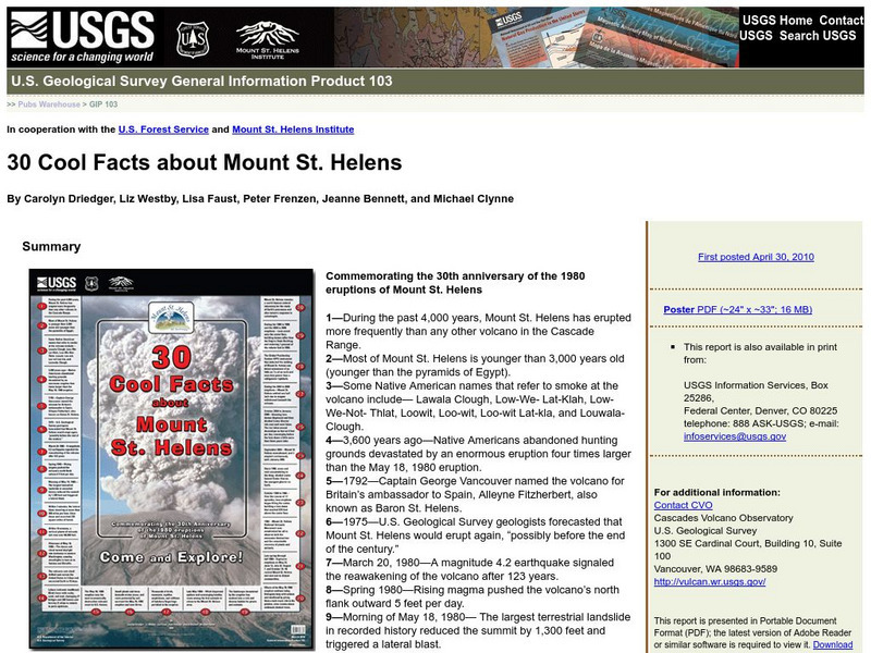
U.s. Geological Survey: 30 Cool Facts About Mount St. Helens
30 fun facts are presented to commemorate the 30th anniversary of the 1980 eruptions of Mount St. Helens.


![Us Geological Survey: Bioremediation: Nature's Way to a Cleaner Environment[pdf] Handout Us Geological Survey: Bioremediation: Nature's Way to a Cleaner Environment[pdf] Handout](https://static.lp.lexp.cloud/images/attachment_defaults/resource/large/FPO-knovation.png)




![U.s. Geological Survey: Landslide Types and Processes [Pdf] Handout U.s. Geological Survey: Landslide Types and Processes [Pdf] Handout](https://content.lessonplanet.com/knovation/original/103409-351e576f9cca56d4582135410961fcec.jpg?1661803269)
