E-learning for Kids
E Learning for Kids: Science: Greek Theater: What Are Reversible and Irreversible Changes?
Join Leander in his chemistry lesson, and learn about the change of different types of substances.
Nations Online Project
Nations Online: Greece
Offers an excellent online resource and country profile of Greece located in Southern Europe, background overview, and numerous links to comprehensive information on the country's culture, history, geography, economy, environment,...
United Nations
Unesco: Historic Centre of Naples
This World Heritage website features Naples, first founded by the Greeks in 470 BC as Neopolis. Found here are a description of its long history, links, a map, documentation, photos, and any indicators of threats to its integrity.
United Nations
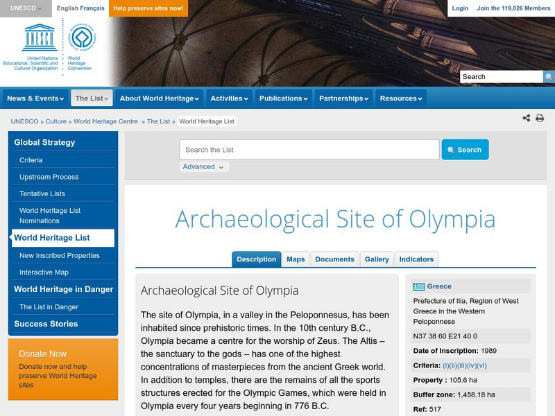
Unesco: Archaeological Site of Olympia
This World Heritage website features Olympia, the site of the ancient Greek Olympics. Found here are a description, links, a map, documentation, and photos of its many archaeological treasures.
Other
The Korean War: History
Contains in-depth information about the Korean War. Includes links to Korean War maps, a Korean War timeline, sites discussing the battles of the war, weapons used in the Korean War, and a photo documentary of the war.
University of Calgary
U. Of Calgary: Territorial Expansion of the Roman World
Provides detailed description of the expansion of territory during the Early and Late Roman Republic and then Early and Late Roman Empire. Includes a variety of links to maps displaying the Roman conquests.
University of Oxford (UK)
Beazley Archive: Athens
Illustrated dictionary entry over Athens, Greece. Describes the history of the city starting and provides two maps of the city and an aerial view.
United Nations
Unesco: Ancient City of Damascus
Damascus in Syria was founded in the third millennium BC. Its long history reveals the influences of many ancient civilizations, most particularly the Hellenistic, Roman, Byzantine and Islamic civilizations. This World Heritage website...
Annenberg Foundation
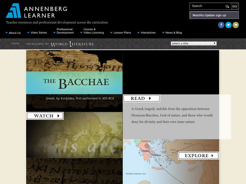
Annenberg Learner: Invitation to World Literature: Euripides: The Bacchae
Lesson from a multimedia course on literary world classics considers The Bacchae, by Euripides. Lesson centers on a half-hour video offering multiple perspectives on the work. Read an excerpt from the play and find dozens of rich and...
Curated OER
Etc: Greece and the Greek Colonies, 734 600 Bc
Map of the Greek colonies showing which areas were colonized by different Greek races.
Curated OER
Etc: The Wars of the Greeks and Persians, 499 448 Bc
A map of Greece, western Asia Minor, and the Agean Sea region during the Greco-Persian Wars (499-479 BC). The map shows the earlier Persian expedition into Scythia under Darius I, which included Ionian allies who sailed from the...
Curated OER
Educational Technology Clearinghouse: Maps Etc: Map of Salamis, 480 Bc
A map of the region around the island of Salamis, site of the naval battle between the Greeks and Xerxes I of Persia during the Second Persian Invasion (480 BC), whose victory by the Greeks resulted in Xerxes retreating back to Persia.
Curated OER
Etc: Maps Etc: Battle of Marathon, September 29, 490 Bc
A map of the Battle of Marathon between the Greek forces under Miltiades and Persian forces under General Datis. This battle, fought on September 29, 490 B.C., was a decisive victory for the Greeks.
Curated OER
Educational Technology Clearinghouse: Maps Etc: Hellas, 550 Bc
A map of the Hellenes settlements in 550 BC before the Persian Wars, including the southern Balkan Peninsula, the islands and coastal regions of the Mare Aegaeum (Aegean Sea), the southern tip of the Italian Peninsula and Sicily. This...
Curated OER
Etc: Maps Etc: The a Etolian and Achaean Leagues, 229 b.c.
Map showing the Greek Atolian and Achaean Leagues, from about 229 B.C. This map shows the Atolian confederation of Atolia, Oetaea, Phthiotis, Locris, Phocis, Boeotia, Cephallenia, and Elis, and the Achaean confederation of Achaia,...
Curated OER
Etc: Maps Etc: Delta of the Ganges River, India, 1873
A map from 1873 of the Ganges River delta in what was at the time the Bengal province of British India. The map shows the main course of the Ganges River, the Hoogly and Hooringotta distributaries, and the Sunderbunds at the mouth of the...
Curated OER
Etc: Maps Etc: Roman Power After the Samnite Wars, 290 Bc
A map of the Roman territories on the Italian Peninsula after the Samnite Wars in 290 BC, showing the cities of Rome, Beneventum, Capua, Naples, and Ausculum, including the territories of Latium, Etruscans, and Samnites under Roman...
Curated OER
Educational Technology Clearinghouse: Maps Etc: Greece, 1906
A map of Greece in 1906, showing its frontier with Turkey following the Greco-Turkish War (1897) at the north of the peninsula along the Kratzova-Khassia Mountains (Thessaly), the Greek administrative divisions, major cities, towns, and...
Curated OER
Educational Technology Clearinghouse: Maps Etc: Physical Greece, 1600 265 Bc
A physical map of Greece and the Aegean Sea, showing Greek territories in Asia Minor. This map shows the rivers, mountain terrain, coastal features, and islands of the region.
Curated OER
Etc: Language Map of Europe, 1914 1918
This map shows the divisions of language usage in World War I era Europe. Many of these languages fall into the Indo-European language family, the largest language family in the world. This family includes German, Greek, Italian,...
Curated OER
Educational Technology Clearinghouse: Maps Etc: Ethnic Groups of Europe, 1916
A 1916 map showing the historic lands held by the various groups of Europe, including the Latin nations (Italy, France, Spain, and Portugal), Teutonic nations of Germany, Netherlands, Scandinavia, and which include the Celts of the...
Curated OER
Educational Technology Clearinghouse: Maps Etc: Distribution of Languages, 1916
A map of the distribution of Indo-European languages in Europe, including Celtic, Germanic, Latin, Slavic, Greek, and Albanian languages. Areas where language families other than Indo-European are also shown, including Lapp, Finnish,...
Curated OER
Educational Technology Clearinghouse: Maps Etc: Thermopylae, 480 Bc
A map of the battle site of Thermopylae on the Gulf of Malis, Greece, during the Second Persian Invasion, showing the route and camp of Xerxes, the city of Heraclea, the bottleneck of Thermopylae, and the mountain route to Alpenus...
Curated OER
Etc: Maps Etc: Invasion of Greece by Xerxes, 480 Bc
Map showing the invasion of the Greek mainland by Xerxes I of Persia.


