Curated OER
Gridding a Site
Young scholars establish a grid system over an archaelogical site. They label each grid unit. They determine the location of artifacts within each grid unit. They construct a scientific inquiry concerning the location of artifacts on the...
Curated OER
Map Coordinates: Monkey Map
Here's an engaging, meaningful, and clever lesson on map skills for elementary schoolers. Pupils combine story writing with mapping skills to create an original piece of work. They utilize a worksheet embedded in the plan to guide them...
Curated OER
Constellation Mapping
Students plot constellations on a grid map. They discuss the various ways early explorers planned their travels. Students identify and recognize major constellations. They color their maps and take them home to try to find various...
Curated OER
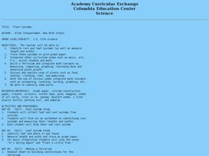
Plant Systems
Students examine plant systems. In this life science lesson, students explore leaf and root systems on paper in a terrarium that they design and construct.
Curated OER
Economic Decisions in Other Systems: Comparative Systems
Students identify and describe the charactertics in each economic system. In groups, they discuss how economic decisions are made in each system and use the Internet to research Chad, United States and North Korea's economic systems. ...
Alabama Learning Exchange
Inner and Outer Planets
Students explore the solar system. In this planets instructional activity, students learn about the other planets in the solar system. They watch a video clip from National Geographic on the solar system, compare and contrast the planets...
Curated OER
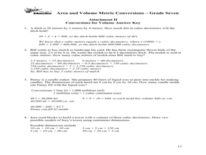
Area and Volume Metric Conversions - Grade Seven
Students investigate unit conversion. In this unit conversion instructional activity, students will build models of square and cubic centimeters using grid paper and generate formula tables for converting units of area and volume. The...
Curated OER
Draw an Inch, Walk a Mile
Learners work in small groups to solve the problems presented. The main project, mapping the classroom, use these discussions to collaborate in creating a tangible demonstration of their understanding.
Curated OER
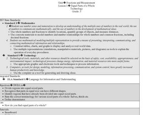
Fractions and Measurement
Using a Smart Board, or a plain ol' white board or chalkboard, the teacher pulls up a grid and demonstrates how squares and rectangles can be divided up into equal parts. The class will get their own graph paper to draw shapes and divide...
Curated OER
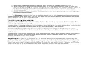
Solving Systems Using Substitution
Write a math story for a series of problems using given variables. The class writes stories, showing understanding of strategies in compound sentences. They then solve the equations.
Curated OER
Gridding An Archaeological Site
Students investigate using some of the basic skills of an archaeologist while using a Cartesian coordinate system. They establish a grid system for a dig site and determine the locations for different artifacts. Students use the...
Curated OER
MAP GRIDS, CLIMATES AND HEMISPHERES
Young scholars compare/contrast the grid and latitude/longitude system used on a globe. They describe the areas which are considered to be a tropical, temperate, and polar, based on knowledge of climates.
Curated OER
A Point of Intersection
Students factor and solve systems of equation. In this algebra instructional activity, students identify the point of intersection using substitution, elimination and graphing. They write an equation given a system and a graph.
Curated OER
Out of This World
Students are introduced to the solar system and its place in the universe. They begin to grasp the idea of very large numbers by estimating and computing how long it take the class to make a million x's.
Curated OER
Tomb Robbers
Sixth graders examine benchmark angles embedded into a circle grid and examine how grid systems do not always have to be square. the game "Tomb Robbers" is used to develop strategies.
Curated OER
Searching the Attic
Students investigate an attic or basement to "discover" family artifacts. They develop a grid map using string, create a naming system for the grid, and analyze items of interest.
Curated OER
School Sleuths Treasure Map
Learners are explained how a grid and compass work. They are also explained that archaeologists use grids as a record of the exact location of artifacts. Students define the term datum as a point of reference on grids from which all...
Curated OER
Line 'Em Up!
Students find coordinate points on a grid and create a line graph with those points. This lesson should ideally be used during a unit on various types of graphs. They make and use coordinate systems to specify locations and to describe...
Curated OER
Mapping Exercise
In this mapping worksheet, students are given data of children exposed to health risks and their geographical location. Students plot each child's home and the risk factors using an (x, y) grid. They answer 2 questions about the...
Curated OER
Pattern Puzzles
A short video introduces place value in addition and subtraction. As a class, your students identify all even numbers up to one hundred and explain the pattern. They use addition strategies to fill in the missing numbers on the number grid.
National Wildlife Federation
Quantifying Land Changes Over Time Using Landsat
"Humans have become a geologic agent comparable to erosion and [volcanic] eruptions ..." Paul J. Crutzen, a Nobel Prize-winning atmospheric chemist. Using Landsat imagery, scholars create a grid showing land use type, such as urban,...
Curated OER
Why Archaeologists Dig Square Holes
Students examine how archaeologists establish and maintain the context of artifacts. They interpret a plan view of an archaeological site and explain the importance of the grid system.
Baylor College
There's Something in the Air
Clever! In order to compare indoor and outdoor dispersal rates for the movement of gases and particles through air, collaborators will participate in a classroom experiment. Set up a circular grid and set students on lines that are...
Curated OER
Metrics And Measurements
Middle schoolers engage in a study of measuring distances between geographical locations on a map. They are able to define and use the map scale in conjunction with the metric system. For this lesson they make their own maps and measure...
Other popular searches
- Global Grid System
- Grid System Drawing
- Mapping Grid System
- Grid System Art
- Drawing With a Grid System
- Texas Grid System
- Grid System Worksheets
- Map Features Grid Systems
- Map Features "Grid Systems
- Map Features "Grid Systems"
- Alphanumeric Grid Systems


