International Technology Education Association
Pixel This!
Did the image I drew match the image you saw? By simulating a satellite and a ground station, teams of two transmit data in the form of pixels in order to recreate an image. They use four different levels of brightness, creating slightly...
Institute for Geophysics
Understanding Maps of Earth
Here is your go-to student resource on primary geography concepts, including facts about the surface of the earth and its hemispheres, latitude and longitude, globes, types of maps, and identifying continents and oceans.
Wikimedia
Wikipedia: International Space Station
This in depth overview of the International Space Station discusses how it was built and who helped in the construction.
Orpheus Books
Q Files: Technology: Space Transport
The story of space exploration is told from the first successful rocket built in 1926 to space probes and the International Space Station.
NASA
Nasa Space Place: Thermosphere
A brief explanation of the thermosphere home to the International Space Station.
NASA
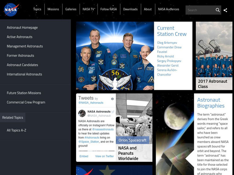
Nasa: Astronaut Biographies
This site provides biographical information on all NASA astronauts and many Russian Cosmonauts.


