Columbia University
Columbia University: Medieval Architecture
Learn about medieval architecture and explore 360 degrees panoramas of buildings in France, Italy, England, and Portugal. A few can also be explored through their architectural plans. Features a number of interactive projects that...
Columbia University
Columbia University: Renaissance Architecture
Learn about Renaissance architecture and explore 360 degrees panoramas of buildings in France, Italy, and Portugal. A few can also be explored through their architectural plans. Features one project that maps Venice's Renaissance art and...
Yale University
Yale: Avalon Project: Tripartite Pact Between Axis Powers, 1940
Original 6 -art article. Italy, Germany and Japan enter agreement that none will agree to an armistice or peace without the reciprocal agreement of the three.
The Atlantic Monthly Group
In Focus: World War Ii: The Allied Invasion of Europe
Photographs of Allied Forces moving north into Italy in 1943, incredible pictures of D-Day and the forces landing in Normandy, and the liberation of Paris in August 1944. Each photograph has a caption which gives it context and a source.
NBC
Nbc News: Italian Prime Minister Promises to Rebuild After Powerful Quake
Another earthquake hits Italy, this time northeast of Rome, on October 30. This registered 6.6 and amazingly spared all lives.
Forum Romanum
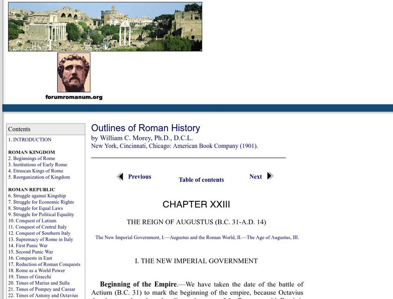
Outlines of Roman History: Augustus and the Roman World
William Morey, in his 1901 textbook, explains Augustus' administration of the three parts of the Roman Empire, Rome, Italy, and the provinces.
Other
Air Pano: Roman Colosseum, Italy: 360 Degree Aerial Panoramas
A breathtaking aerial tour of the Roman Colosseum. Click on any of thirteen images on the right side for different vantage points.
Google
Google Maps: Venice
Welcome to Venice, Italy, the city built on water. Travel the canals, walk the streets, ride boats, cross bridges and plan your own adventure in one of the world's most unique cities.
Other
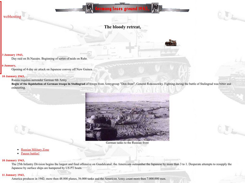
Ww Ii: The World at War 1943
Scroll down to 17 August for links to information about the Allies and German attack on Southern Italy during WWII.
Other
Italyguide: Environmental Settings
This Italian "Environmental Settings" site contains information about the Geological Substratum of Italy, Landforms of Italy, the Alps, the Po-Venetian Plain, the Apennines, the islands, the coastline, Climatic Conditions, Inland Waters,...
Other
The Holy House of Loreto
An essay written about the history and religious significance of the "Holy House" that is now located in Loreto, Italy.
Curated OER
Flag of Italy
This is an online resource for information on Italy. The site includes a map and flag, government, population, languages, communications, economic summary, and a history of the country.
Curated OER
Educational Technology Clearinghouse: Maps Etc: Italy, 1914
A map of the Kingdom of Italy in 1914 subtitled "Made One Nation." This map shows the unification of Italy with dates and notations for annexation to the Kingdom of Sardinia (the founding state, which became the Kingdom of Italy in...
Curated OER
Unesco: Italy: Longobards in Italy. Places of the Power (568 774 a.d.)
The Longobards in Italy, Places of Power, 568 - 774 A.D. comprises seven groups of important buildings (including fortresses, churches, and monasteries) throughout the Italian Peninsula. They testify to the high achievement of the...
Curated OER
Educational Technology Clearinghouse: Maps Etc: Northern Italy, 1796 1797
A map of Northern Italy in 1796-1797 during the French Revolutionary Wars, subtitled "Bonaparte's Campaign." This map shows the Piedmont locations of Montenotte (1796) northeast of Nice, Dego, and Mondovi near Turin, the Po River...
Curated OER
Etc: Italy During the War With Naples , 1798 1799
Map of Italy in 1799, subtitled "The War with Naples 1798-9." The map shows Italy at the time when the Kingdom of Naples briefly became the French-supported Parthenopaean Republic from January to June, 1799. The map shows the territory...
Curated OER
Educational Technology Clearinghouse: Maps Etc: Italy, 1920
A map of Italy in 1920 showing important cities, railways, and submarine cables, and the territories of Trento, Trieste, Istria, and coastal Dalmatia claimed by Italy under the London Pact (1915).
Curated OER
Educational Technology Clearinghouse: Maps Etc: Italy, 1920
A map of Italy in 1920 showing important cities, railways, and submarine cables, and the territories of Trento, Trieste, Istria, and coastal Dalmatia claimed by Italy under the London Pact (1915).
Curated OER
Educational Technology Clearinghouse: Maps Etc: Italy, 1909
A map of Italy in 1909, prior to the resolution of the Italian Irredentist Movement to unite the territories of ethnic Italians. This map shows the territories of Tyrol, Istria, and Dalmatia under Austria-Hungary Empire rule, Corsica...
Curated OER
Educational Technology Clearinghouse: Maps Etc: Italy, 1815 1871
A map of Italy between 1815 and 1870 subtitled "The Struggle for Unity." The map is color-coded to show lands acquired & ceded during this period, with an inset map showing dates of annexation to the Kingdom of Sardinia (Kingdom of...
Curated OER
Educational Technology Clearinghouse: Maps Etc: Italy, 1919
A map of Italy in 1919, however, it shows the Italian provinces prior to the resolution of the Italian Irredentist Movement to unite the territories of ethnic Italians under the London Pact of 1915. This map shows the territories of...
Other popular searches
- Famous Scientists From Italy
- Volunteering Italy
- Unification of Italy
- Christmas in Italy
- Map of Italy
- Renaissance Italy
- Lesson Plans for Italy
- Lesson Plans on Italy
- Ancient Italy
- Blank Map of Italy
- Art About Italy
- Italy Fascism


