Scholastic
Scholastic: Study Jams! Science: Landforms, Rocks & Minerals: The Rock Cycle
A video, a karaoke song to sing along to, and a short multiple-choice quiz on what happens during the rock cycle.
CK-12 Foundation
Ck 12: Fourth Grade Science: Earth Science: Introduction to Earth's Surface
[Free Registration/Login may be required to access all resource tools.] Explains how to find a location and direction on Earth's surface. Discusses topography and various landforms and how they form.
Alabama Learning Exchange
Alex: Forces That Change the Land
Students will use websites and other resources to find information about the following landforms: mountains, canyons, and valleys.
Crayola
Crayola: Airplane View
Show off your knowledge of geography. Draw your state, its neighbors and indicate notable landforms as if you were viewing them from the window of an airplane.
ClassFlow
Class Flow: How Landforms Affect Settlers' Choices
[Free Registration/Login Required] This flipchart has students engage in a research project looking at how geographical features affected the colonists' settling of the New World. Web links to aid the research process are included. An...
ClassFlow
Class Flow: Landforms
[Free Registration/Login Required] In this lesson students analyze the formation of lakes and volcanoes in depth. Students read Living Library references to locate, select, and make use of relevant information.
NASA
Nasa Earth Observatory: Changing Global Land Surface
Learn how scientists view the changes in the land surface made by humans over time. Read questions that scientists pose to answer some unknown questions about global land surface and learn several things scientists are doing to try to...
NASA
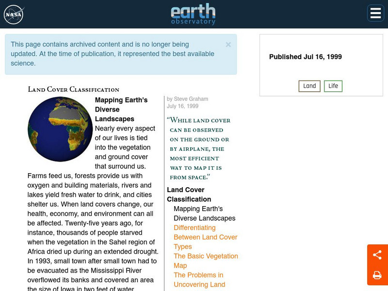
Nasa Earth Observatory: Land Cover Classification
Learn about the important resources our land offers us: food, water, oxygen, building materials, and more. Discover how scientists have been mapping land for years trying to prevent disasters and to collect environmental information.
Other
Southern Kings Consolidated School: Hills
Excellent site from the Southern Kings Consolidated School explaining what a hill is and how hills are formed. Easy to understand and contains great pictures.
Other
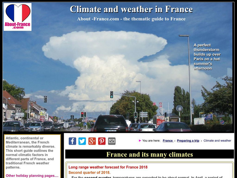
About France: Climate of France
Have a look at how the different landforms throughout the country of France affect its weather and climate patterns. 2010's chaotic weather is highlighted as well.
Other
Italyguide: Environmental Settings
This Italian "Environmental Settings" site contains information about the Geological Substratum of Italy, Landforms of Italy, the Alps, the Po-Venetian Plain, the Apennines, the islands, the coastline, Climatic Conditions, Inland Waters,...
Science Struck
Science Struck: Facts About the Sahara Desert
Discusses the physical geography of the Sahara Desert, the climate, its landforms, the plants and animals that live there, and some of the people who live there or visit.
Curated OER
Okanagan University: Eolian Processes and Landforms
A wonderfully detailed introduction to the topic of wind erosion and landforms. Contains many illustrations and maps which show the concepts that are presented in the text.
Curated OER
Discovering How Landforms Are Created on Earth
Students compare water and ice erosion to discover how landforms are created.
Curated OER
Discovering How Landforms Are Created on Earth
Students compare water and ice erosion to discover how landforms are created.
Curated OER
Discovering How Landforms Are Created on Earth
Students compare water and ice erosion to discover how landforms are created.
Curated OER
Discovering How Landforms Are Created on Earth
Students compare water and ice erosion to discover how landforms are created.
Curated OER
Discovering How Landforms Are Created on Earth
Students compare water and ice erosion to discover how landforms are created.
Curated OER
Discovering How Landforms Are Created on Earth
Students compare water and ice erosion to discover how landforms are created.
Utah Education Network
Uen: Weathering Landforms
This lesson plan will demonstrate the mechanical weathering process known as frost wedging and the biological weathering process caused by plants. The materials required include plaster of Paris, balloons, seeds, paper plates and a...
Science Education Resource Center at Carleton College
Serc: Mn Step: Rock Identification and Usage
In this activity, learners explore rocks using their five senses. They sort them into groups, learn about landforms, and learn how rocks are used by humans. Their discoveries are recorded in their science notebooks.
ClassFlow
Class Flow: Forces Land
[Free Registration/Login Required] This flipchart describes physical characteristics of landforms and bodies of water including mountains, plains, plateaus, valleys, rivers, bays, and lakes.
ClassFlow
Class Flow: Maps Globe Skills
[Free Registration/Login Required] This flipchart discusses landforms, mapping and the Compass Rose. Students can practice using Cardinal Directions and use Activotes.
Curated OER
Educational Technology Clearinghouse: Maps Etc: Landforms of Africa, 1904
A map from 1904 of Africa and Madagascar showing the principal mountain, lake, and river systems. Mountain chains are shown with heavy black lines.
Other popular searches
- Landforms and Water Forms
- Canada Geography (Landforms)
- Earths Landforms
- Landforms Lesson Plans
- Landforms of Colombia
- Ocean Floor Landforms
- Definitions of Landforms
- Different Landforms
- Canada Geography Landforms
- Google Earth Landforms
- Geographic Landforms
- Landforms on Neptune


