PBS
Pbs Learning Media: Coastal Geological Processes
This interactive resource adapted from the National Park Service describes the many forces that affect shorelines, including tides, weathering, erosion, and deposition. Includes background reading handout and discussion questions.
Curated OER
National Park Service: Creating Flat Topped Mountains
The NPS offers a good overview of the forces that create a plateau and experiments to help students understand. Lesson plan.
Other
Hopewell Rocks Video
Visit the magnificent Hopewell Rocks and view the famous Flowerpot Rocks. See time lapse photography of the tides of the Bay of Fundy at both low and high tide. Video length 2:07
Annenberg Foundation
Annenberg Learner: Earth and Space Science: Restless Landscapes
Material to begin an exploration of the sand formation, landforms, and underground water. An hour-long video is accompanied by learning goals, an outline and overview, details on the ice ages, glaciers, and glacial landforms, and ideas...
Johns Hopkins University
Johns Hopkins University: Arkansas State Maps
Learn more about the Arkansas' geography through the maps at this website from the Johns Hopkins University Applied Physics Laboratory. These maps give in depth information on the landforms found in Arkansas.
Johns Hopkins University
Johns Hopkins University: Arkansas State Maps
Learn more about the Arkansas' geography through the maps at this website from the Johns Hopkins University Applied Physics Laboratory. These maps give in depth information on the landforms found in Arkansas.
Johns Hopkins University
Johns Hopkins University: California Maps
At this site from the Johns Hopkins University Applied Physics Laboratory, you can learn more about the great state of California. Find out about the landforms that run through this vast state. There are several types of maps found at...
Johns Hopkins University
The Johns Hopkins University: Colorado State Maps
At this site from The Johns Hopkins University Applied Physics Laboratory, you can look for Colorado landmarks and landforms at this site. You will find several different types of maps at this site. Look for black and white maps and...
Johns Hopkins University
The Johns Hopkins University: Delaware State Maps
At this site from The Johns Hopkins University Applied Physics Laboratory, you can learn more about the landforms and other geographical features of the state of Delaware. Check out the different map types at this website.
Johns Hopkins University
The Johns Hopkins University: Florida State Maps
Use this site from The Johns Hopkins University Applied Physics Laboratory to find out more about Florida's landforms. This website contains several different maps highlighting different geographical features of Florida.
Johns Hopkins University
The Johns Hopkins University: Hawaii State Maps
At this site from The Johns Hopkins University Applied Physics Laboratory, you can learn more about the island state in the Pacific Ocean. Hawaii has several interesting landforms. Find out more about Hawaii by checking out this website.
Johns Hopkins University
The Johns Hopkins University: West Virginia State Maps
This site from The Johns Hopkins University Applied Physics Laboratory contains a black and white map, a county map, a satellite image map, a shaded relief map. Check out West Virginia's landforms.
Lonely Planet
Lonely Planet: Ukraine
This site gives a description of the environment of the Ukraine. Read about landforms, vegetation, animal life, and climate. Also read about the history and demographics of Ukraine.
The British Museum
The British Museum: China: Geography
Explore the geography of China and its landforms with an interactive map and game for students to play. Find out more about the importance of the Yellow River in an ancient Chinese myth.
Science Education Resource Center at Carleton College
Serc: Mapping the Glaciers
In this activity, young scholars will use Minnesota Geological Survey 3-D maps of the upper Midwest to trace the outlines of where they believe glaciers may have affected North America. They will identify landforms that resulted from...
Other
Mr. Palm: Regions of Texas
The four major geographic regions of Texas are described in text and a slideshow, with a discussion of their landforms, climate, vegetation, animals, and resources.
Other
Harper College: North Africa/ Sw Asia Map Tutorial
Quiz yourself on the physical geography of Southwest Asia and North Africa by using this tutorial to Check your knowledge of landforms, bodies of water, and rivers in this area of the world.
NC State University
The Engineering Place: Volcanoes: Viscosity Demonstration
For this lesson, students explore how the viscosity of lava affects the intensity of a volcanic eruption, and the resultant landforms that are created.
Science Education Resource Center at Carleton College
Serc: Sandbox Modeling
Students create landforms using layers of colored sand, then construct a topographic map and a cross-section. This is an investigation that was presented to pre-service science teachers. The format would be similar with students, with...
Georgia Department of Education
Ga Virtual Learning: Landscape Evolution
In this amazing online tutorial you will learn about how water, mass wasting, weathering, and erosion have help shape the landforms on Earth. The lesson includes many helpful interactive materials to prepare help you understand landscape...
CK-12 Foundation
Ck 12: Earth Science: Erosion by Waves
[Free Registration/Login may be required to access all resource tools.] Describes erosion in landforms caused by waves.
Read Works
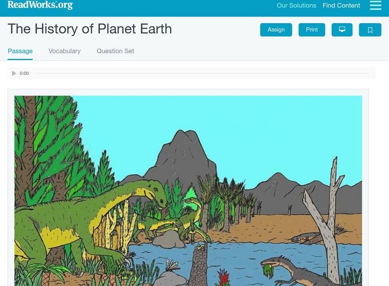
Read Works: The History of Planet Earth
[Free Registration/Login Required] This informational text passage shares information about the history of the earth and its landforms. This passage is a stand-alone curricular piece that reinforces essential reading skills and...
CK-12 Foundation
Ck 12: Earth Science: Deposition by Groundwater
[Free Registration/Login may be required to access all resource tools.] How groundwater creates landforms.
University of South Florida
University of South Florida: College of Education: Geography
Definitions of the terms used in geography. Understand different types of landforms, regions, human-environmental relationships, and places.
Other popular searches
- Landforms and Water Forms
- Canada Geography (Landforms)
- Earths Landforms
- Landforms Lesson Plans
- Landforms of Colombia
- Ocean Floor Landforms
- Definitions of Landforms
- Different Landforms
- Canada Geography Landforms
- Google Earth Landforms
- Geographic Landforms
- Landforms on Neptune


