A&E Television
History.com: Hurricane Katrina: 10 Facts About the Deadly Storm and Its Legacy
Hurricane Katrina, the tropical cyclone that struck the Gulf Coast in August 2005, was the third-strongest hurricane to hit the United States in its history at the time. With maximum sustained winds of 175 mph, the storm killed a total...
A&E Television
History.com: Hurricane Katrina
Early in the morning on August 29, 2005, Hurricane Katrina struck the Gulf Coast of the United States. While the storm itself did a great deal of damage, its aftermath was catastrophic Levee breaches led to massive flooding, the federal...
Louisiana Department of Education
Louisiana Doe: Louisiana Believes: Social Studies: Grade 3: Key Events in Louisiana
Third graders build their understanding of the content to explore when and why Louisiana changed hands so many times and how explorers, leaders, and the Louisiana Purchase contributed to Louisiana becoming a state.
University of Oregon
Mapping History Project: Territorial Expansion of the u.s. 1783 1853
Click on the sliding bar and watch how the United States territory grew with the Louisiana Purchase, Florida Acquisitions, Texas Annexation, Oregon Country, and Mexican Cession.
Louisiana Department of Education
Louisiana Doe: Louisiana Believes: Ela Unit: Grade K: A Is for America
Students read informational and literary texts in order to gather information about people, events, symbols, and ideas that are representative of the United States of America. Students begin to develop an understanding of the United...
Independence Hall Association
U.s. History: Westward Expansion: The Louisiana Purchase
Read about the fortuitous purchase made that doubled the size of the United States. See why Napoleon was willing to sell the land, and find out about the quandary Thomas Jefferson was in as he had to go against his strict construction...
Independence Hall Association
U.s. History: The Missouri Compromise
A good look at the issues debated about the admission of new states, particularly those that would be made from the Louisiana Purchase. Read about why the issue of allowing slavery in the new states was such a hard decision for Congress....
University of Oregon
Mapping History Project: Missouri Compromise: 1820
Interactive map showing free states and territories and slave states and territories before and after the Missouri Compromise of 1820. Click on the map to choose before or after and the key. Shockwave required.
Scholastic
Scholastic History Mystery: States and Territories: Indian Territory
Students try to guess the mystery subject Carlotta Facts, the History Mystery Museum's professor, is studying. They read the clues, do some online and offline research, and then attempt to identify the game's mystery subject, the Indian...
US Mint
United States Mint: 2005 Westward Journey Nickel Series Designs
To commemorate the bicentennials of the Louisiana Purchase and the Lewis and Clark expedition, the U.S. Mint modified the nickel to reflect these national milestones. This page has images of the 2005 obverse design of President Jefferson...
Black Past
Black Past: Pinckney Benton Stewart Pinchback
An interesting biography of P.B.S. Pinchback, first African American to be governor of any state. Read about his childhood, his life in politics, and his education to be a lawyer.
Curated OER
Louisiana State Flag
Features extensive information regarding Louisiana's history, famous people, cities, geography, state parks, tourism, and historic sites. A fact sheet of information and a quiz are also available.
The Newberry Library
Newberry Library: Library Exhibit: Lewis and Clark and the Indian Country
A virtual library exhibit which explores how the United States history and Indian peoples along the expedition route, came together over two hundred years ago, and how they remain intertwined today.
US National Archives
Nara: American Originals
A collection of important documents highlighting events in United States history. These at one point were on display in the Rotunda of the National Archives Building. Each document is accompanied by a short description of its significance.
The History Cat
The History Cat: Us History: Louisiana Purchase
Covers two topics related to the growth of the new United States - the Louisiana Purchase and the settling of the Great Plains. How the Louisiana Purchase came about as a result of a decision by Napoleon is explained. The Great Plains...
Black Past
Black Past: Louisiana Purchase and African Americans
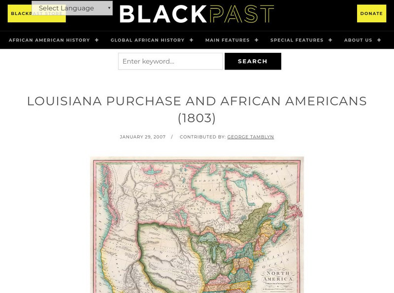
In this brief encyclopedia article, you find the effect the Louisiana Purchase had on African-Americans because of the new land added to the United States. There is a link to a website that gives additional information about the...
Cayuse Canyon
The Us50
This clickable map of the United States gives students access to research information from history and tourism to attractions and famous historic figures.
50 States
50 States: Louisiana (La)
Find here a collection of links to information about the state of Louisiana. Categories include facts, government, geography, education, people, attractions, history, industry, and miscellaneous.
University of Groningen
American History: Biographies: Thomas Jefferson
This resource provides a biography of Thomas Jefferson that includes information on his early career, prelude to the presidency, and his presidency.
Other
The Story of the Us Told in 141 Maps
This collection of United States maps includes a year-by-year. Beginning from the Declaration of Independence and extending to present-day, students will learn explore and interact with these maps that change year-by-year.
Curated OER
Perry Castaneda Map Collection: Admission of States and Territorial Acquisitions
Here's a map to show you when states were added to the Union. It also shows territories and when they were acquired.
Other
Animated Atlas: Growth of a Nation
A 10-minute movie showing the expansion of the United States after the end of the Revolutionary War. Follow the directions to start the movie and listen to the explanations.
Other
U.s. Genealogy Map Project: u.s. Border/land Claims 1804 1823
A great map and a list of the acquisitions and border changes of the United States from 1804 to 1823. A concise resource showing Western expansion.
University of Georgia
University of Georgia: The Mississippi Territory (1814)
An 1814 American map of the territory of the lower Mississippi valley; part of the larger Louisiana Purchase that President Jefferson purchased from the French in 1803.


