CK-12 Foundation
Ck 12: Plix: Map for Earth's Tectonic Plates: Earth's Tectonic Plates
[Free Registration/Login Required] Understand what is happening at the plate boundaries with this interactive map of Earth's tectonic plates. This page slso includes a short quiz over plate tectonics.
Other
Discover Canada Through National Maps and Facts: Relief
Links to all of Canada's provinces and territories relief maps. Maps can be viewed as a picture or as a .pdf file. Be sure to check out the links to lesson plans as well as the many other types of maps.
TeachEngineering
Teach Engineering: Projections and Coordinates: Turning a 3 D Earth Into Flatlands
Projections and coordinates are key advancements in the geographic sciences that allow us to better understand the nature of the Earth and how to describe location. These innovations in describing the Earth are the basis for everything...
TeachEngineering
Teach Engineering: Where Are the Plastics Near Me? (Mapping the Data)
In a student-led and fairly independent fashion, data collected in the associated field trip activity are organized by student groups to create useful and informative Google Earth maps. Each team creates a map, uses that map to analyze...
Other
Reach the World: Geogames Build Planet Earth
Practice your mapping skills with Build Planet Earth! This animated 3D globe challenges players to locate the Poles, continents, countries, and cities. Colorful graphics and sound effects as well as a teacher's lesson plan are included.
Other
Earth Journalism Network: Climate Commons
A unique interactive tool that embeds news articles and information about climate change into a map of the United States. Users are able to explore what the impact of climate change at a local, regional or national level, as well as...
Other
Zoom Earth: Aerial and Satellite Images
Type in the location you are searching for, and satellite imagery will produce an aerial map for you. Helps students better understand these concepts by providing a visual for them.
Other
Google Earth Teach: Maps
A free opportunity to allow students and educators to learn and engage using Google Earth. A variety of maps may be selected and multiple layers chosen to display different aspects of each map.
CK-12 Foundation
Ck 12: Earth Science: Weather Maps
[Free Registration/Login may be required to access all resource tools.] How meteorologists create and read weather maps.
CK-12 Foundation
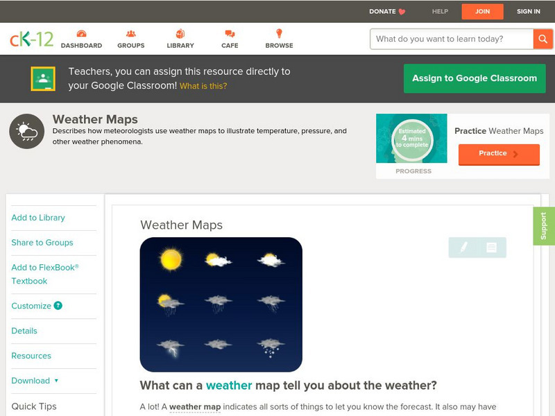
Ck 12: Earth Science: Weather Maps
[Free Registration/Login may be required to access all resource tools.] How meteorologists create and read weather maps.
CK-12 Foundation
Ck 12: Earth Science: Map Projections
[Free Registration/Login may be required to access all resource tools.] How to use topographic, bathymetric, and geologic maps.
Curated OER
Google for Education: Children and Technology: Google Earth
A demo presentation using Google Earth to fly around the world, visiting notable visitor points around the globe.
Fourmilab Switzerland
John Walker: Earth and Moon Viewer and Solar System Explorer
This website provides numerous images of the Earth and moon, shown from various vantage points.
Science Education Resource Center at Carleton College
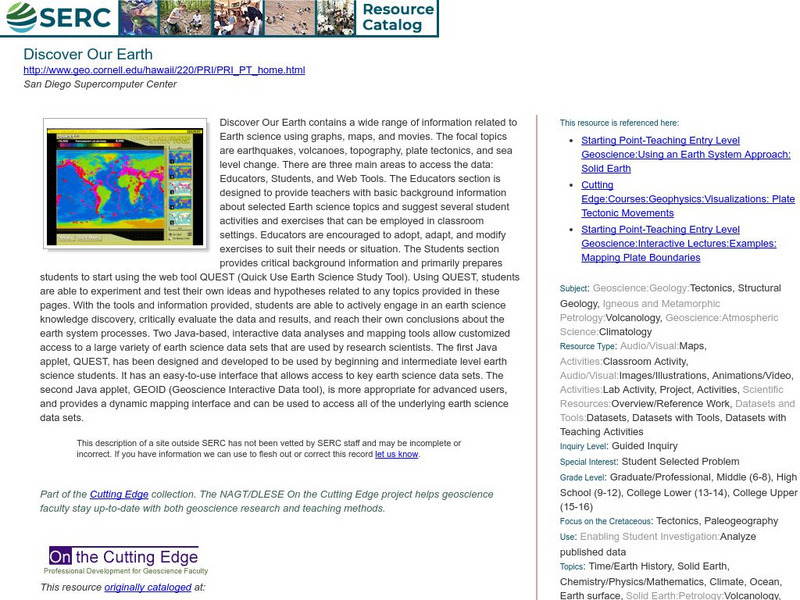
Serc: Discover Our Earth
Study earthquakes, volcanoes, topography, plate tectonics, and sea level change using graphs, maps, and movies. Engage in earth science knowledge discovery, critically evaluate the data and results, and reach conclusions about the earth...
Google
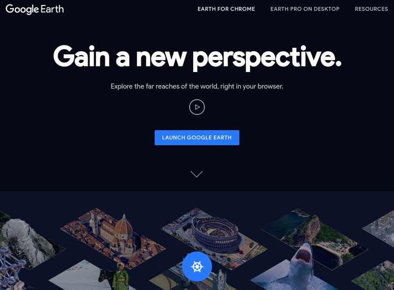
Google Earth Explore, Search and Discover
Find a specific location in the world. View exotic locations, famous buildings, and even your own home! See the terrain and buildings in 3D. Search for restaurants, hotels, parks and schools within a certain area.
Google
Google Earth Explore, Search and Discover
Find a specific location in the world. View exotic locations, famous buildings, your own home! See the terrain and buildings in 3D. Search for restaurants, hotels, parks and schools within a certain area.
European Space Agency
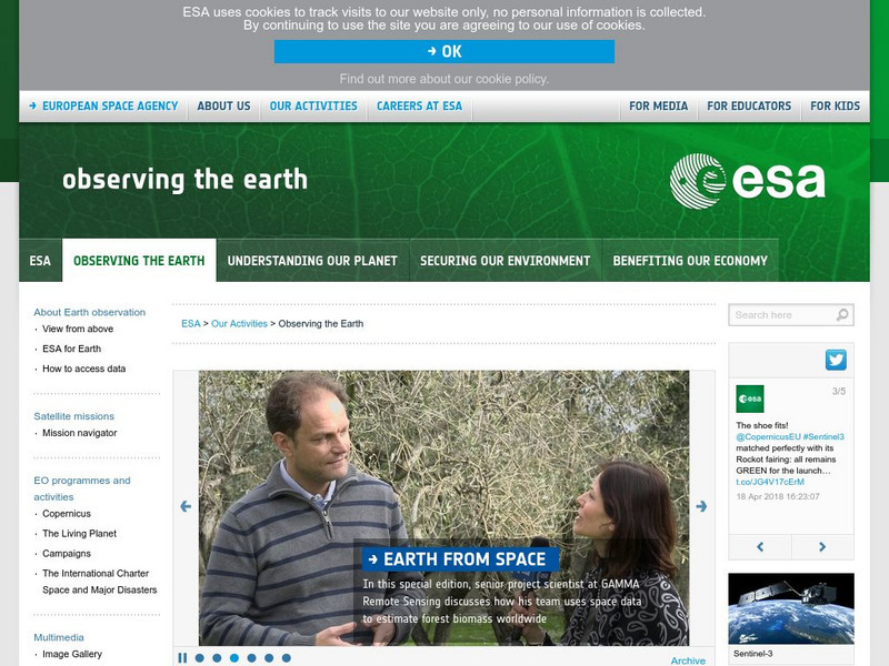
European Space Agency: Observing the Earth
This resource provides information about the Earth, as well as satellite images and videos of what is taking place on the earth currently.
Google
Google for Education: Applying Discrete and Continuous Data in a Map
Using various tools, student will be able to analyze and calculate the amount of urban open space available in their city.
CK-12 Foundation
Ck 12: Earth Science: Maps Study Guide
Get an overview of different types of Earth Science maps.
American Geosciences Institute
American Geosciences Institute: Earth Science Week: Geologic Maps and Groundwater
This activity is designed to give students practice using a geologic map to understand how water shapes the land- and is stored within the land- in part of the Grand Canyon.
Math Science Nucleus
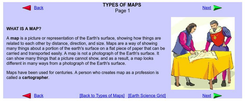
What Is a Map?
Do you want to know what a map is? If you look here, you will find why we have them and their uses.
Other
Jules Verne Voyager Jr.: Earth
A map program allows users to explore the many features of Earth. Select base maps, features, and velocities.
CK-12 Foundation
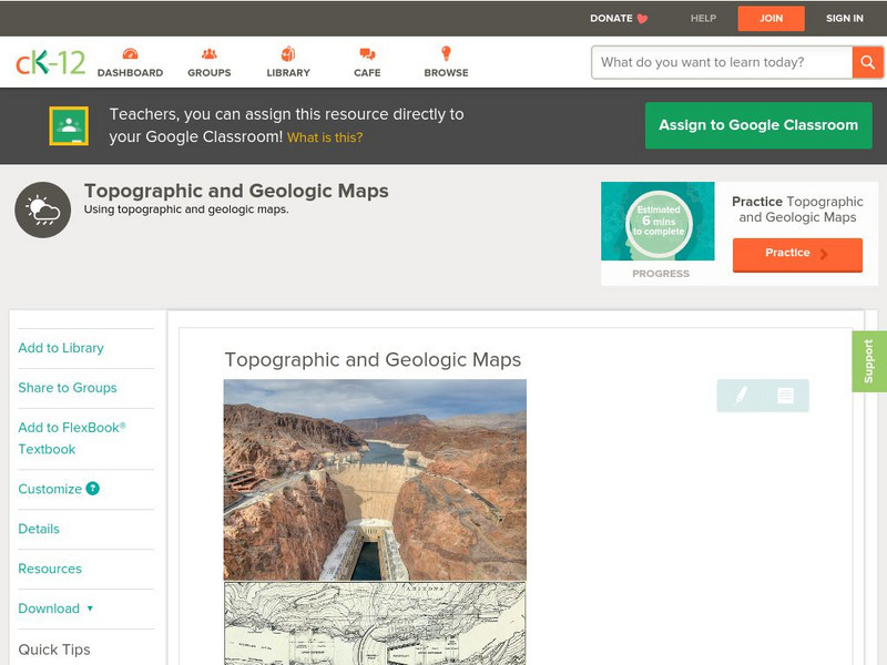
Ck 12: Earth Science: Topographic and Geologic Maps
[Free Registration/Login may be required to access all resource tools.] How to use topographic and geologic maps.
CK-12 Foundation
Ck 12: Earth Science: Maps
[Free Registration/Login may be required to access all resource tools.] How to use topographic, bathymetric, and geologic maps.
Other popular searches
- Earth Scene Concept Maps
- Earth Scone Concept Maps
- Earth Science Mapping
- Earth Sciecne Concept Maps
- Mapping Earths Surface
- Mapping Earthquakes
