Hi, what do you want to do?
BSCS Science Learning
Bscs: Globe at Night Dark Skies
In this inquiry, young scholars predict the best place to stargaze in Arizona based on the brightness of the night sky. Students are introduced to the concept of light pollution and Globe at Night, a global citizen science project in...
National Endowment for the Humanities
Neh: Edsit Ement: Mapping Our Worlds
In this lesson, introduce your learners to the world of maps and discover a world of information online. Students learn how to identify different types of maps, comparing maps to the rooms of a house.
Mariners' Museum and Park
Mariners' Museum: Education: Create a Globe [Pdf]
Simple instructions on how to make a globe using a pattern provided, scissors, glue, and a balloon. PDF
The Newberry Library
Newberry: Political and Military History: Map 15: The World at War, 1944
Lesson for K-12 using historical map teaches students about the relationship between perspectives of the world and map projections.
City University of New York
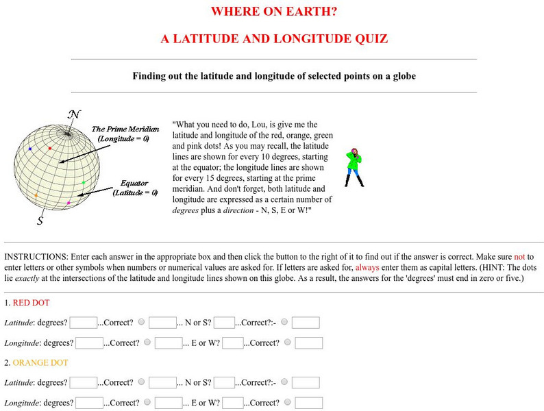
Virtual Geology: Where on Earth: A Latitude and Longitude Quiz
This quiz starts with select points on a globe. Students must determine the latitude, longitude, and direction for each point.
Other
Monroe County Women's Disability Network: Maps & Globes: Water Forms
This site is provided for by the Monroe County Women's Disability Network. Some basic information about water on our planet and the various water forms that make up three-quarters of the earth's surface. Includes some simple quizzes to...
Other
Jayzeebear.com: The World Online Map Game
Want a fun way to practice map skills and to learn geography? This colorful interactive online game is great for students.
National Geographic
National Geographic: Mapping Ocean Currents
An unfortunate spill of 92,000 rubber ducks into the ocean in 1992 elicited invaluable information about global ocean currents as scientists tracked their journeys around the world. In this lesson, students first learn about the Ocean...
Hans Lohninger
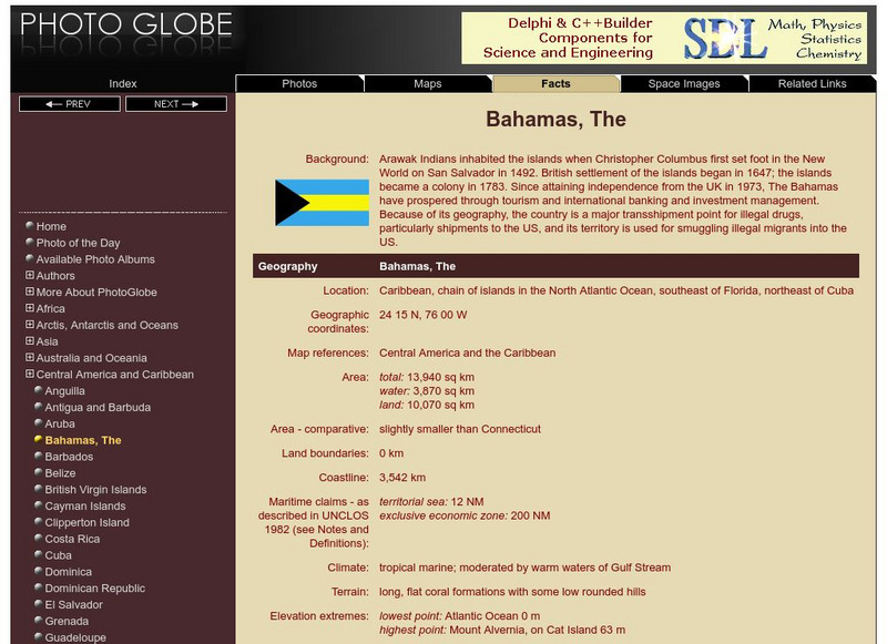
Photo Globe: The Bahamas
Presents many general country facts about the Caribbean Island of the Bahamas in a well organized chart form. This site is enriched by links to maps and an image of the flag.
Hans Lohninger
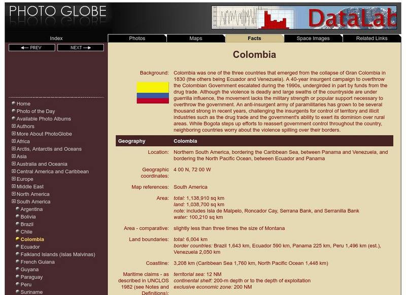
Photo Globe: Colombia
Presents many general country facts about Colombia in a well organized chart form. Content includes: geography, people, government, economy, communications, transportation, military, and transnational issues. This site is enriched by...
Hans Lohninger
Photo Globe: Uruguay
Explores general country facts about Uruguay in a well organized chart form. Content includes: geography, people, government, economy, communications, transportation, military, and transnational issues. This site is enriched by links to...
Hans Lohninger
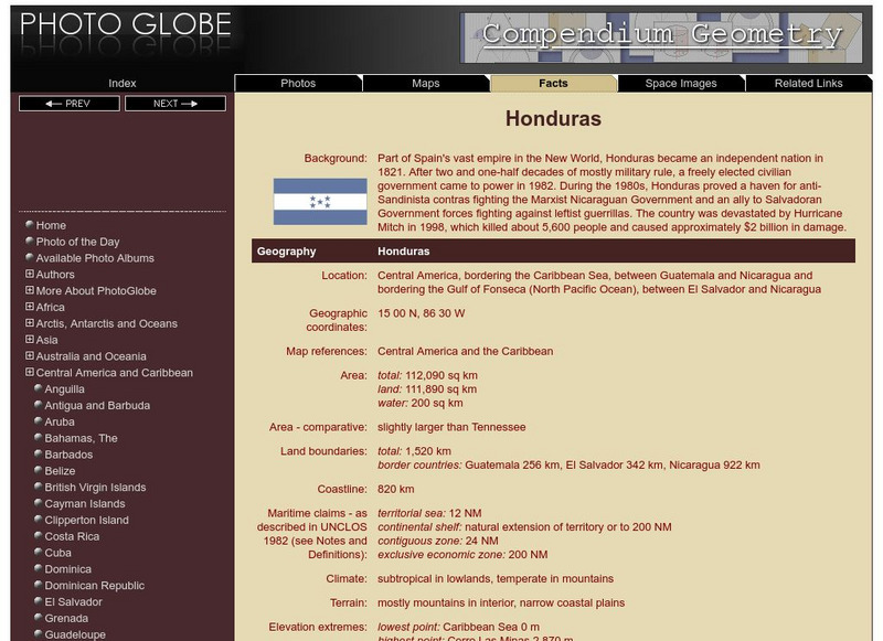
Photo Globe: Honduras
Presents country specific facts about Honduras in a well organized chart form. Content includes: geography, people, government, economy, communications, transportation, military, and transnational issues. This site is enriched by links...
Hans Lohninger
Photo Globe: Belize
Provides many general country facts and statistics about Belize in a well organized chart form. This site is enriched by links to maps and an image of its flag.
Hans Lohninger
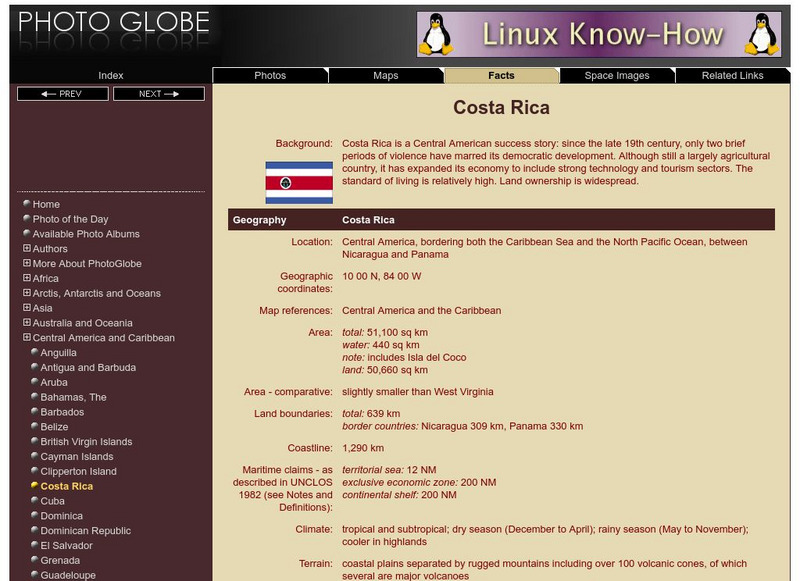
Photo Globe: Costa Rica
Provides general country specific facts and statistics about Costa Rica in a well organized chart form. This site is enriched by links to maps and an image of its flag.
Hans Lohninger
Photo Globe: Dominican Republic
Offers background as well as many general country facts and statistics about the Dominican Republic in a well organized chart form. This site is enriched by links to maps and an image of its flag.
Hans Lohninger
Photo Globe: Grenada
Provides many general country facts and statistics about Grenada in a well organized chart form. This site is enriched by links to maps and an image of its flag.
Hans Lohninger
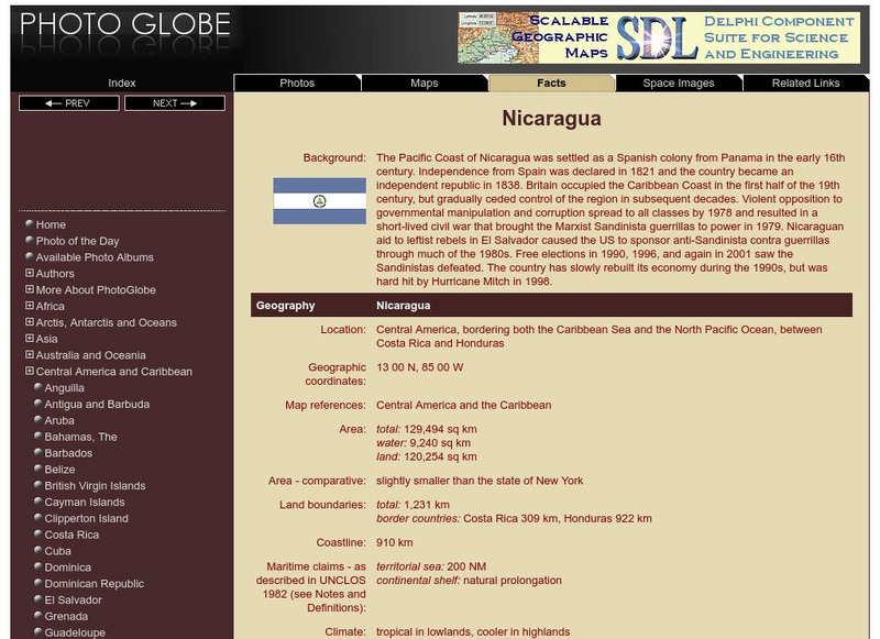
Photo Globe: Nicaragua
Provides many general country facts and statistics about Nicaragua in a well organized chart form. This site is enriched by links to maps and an image of its flag.
Hans Lohninger
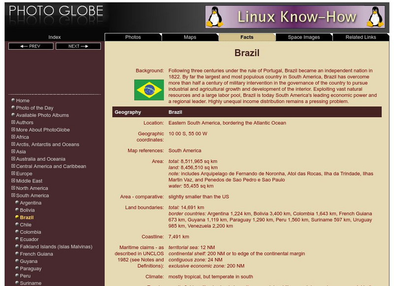
Photo Globe: Brazil
Presents many general country specific facts about Brazil in a well organized chart form. Content includes: geography, people, government, economy, communications, transportation, military, and transnational issues. This site is enriched...
Hans Lohninger
Photo Globe: Dominica
Presents background and general country facts and figures about Dominica in a well organized chart form. This site is enriched by links to maps and an image of its flag.
Hans Lohninger
Photo Globe: Haiti
Offers background and many general country facts and statistics about Haiti in a well organized chart form. This site is enriched by links to maps and an image of its flag.
Hans Lohninger
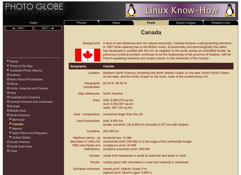
Photo Globe: Canada
Presents many general country facts about Canada in a well organized chart form. Content includes: geography, people, government, economy, communications, transportation, military, and transnational issues. This site is enriched by links...
Hans Lohninger
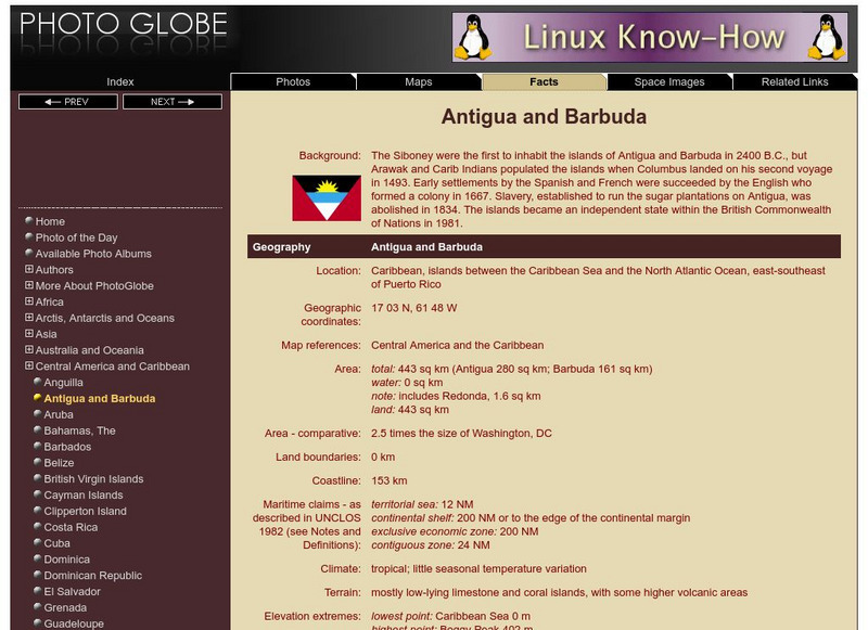
Photo Globe: Antigua and Barbuda
Provides a brief overview and many general country facts and statistics about Antigua and Barbuda in a well organized chart form. This site is enriched by links to maps and an image of its flag.
Geographyiq
Geography Iq
Detailed geographical information on any country is available at this site. Within the World Map section, you can get facts and figures about each country's geography, demographics, government, political system, flags, historical and...
Social Studies for Kids
Social Studies for Kids: Latitude and Longitude
A collection of latitude and longitude mapping activities ranging from pin-pointing exact locations on the globe to researching the history behind this basic geography concept.
Other popular searches
- Comparing Maps and Globes
- Reading Maps and Globes
- Communities Maps and Globes
- Examining Maps and Globes
- Using Maps and Globes
- Free Maps and Globes
- Maps and Globes Activity
- Maps and Globes Migration
- Globes and Maps
- Maps, Globes and Atlases
- Globes and Maps Continents
- Construct Maps and Globes


