Hi, what do you want to do?
Other
Shelby County Historical Society: Ohio Becomes a State
Read the story of how Ohio became the first state admitted to the Union from the Northwest Territory, and how the new state became a popular place for many immigrants.
US National Archives
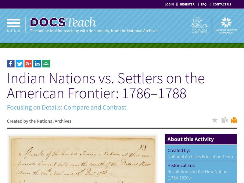
National Archives: Indian Nations vs. Settlers on the American Frontier
When the Revolutionary War ended, there was an ongoing conflict between the Native Americans and American settler in the Northwest Territory. Students will study two documents from each side of the issue and answer questions and/or hold...
Library of Congress
Loc: The History of the Upper Midwest
Wonderful site that presents the history of the upper Midwest from the 1600s to around 1900, including Minnesota, Michigan, and Northwest Territories.
Library of Congress
Loc: Incorporating the Western Territory
A discussion of the process the congress went through in determining what would happen to the territory west of the original thirteen states. Read the final provisions of the Northwest Ordinance of 1787.
PBS
Pbs Liberty!: The Northwest Ordinance
As part of a comprehensive site detailing the American Revolution, this page defines the Northwest Ordinance as adopted by Confederation Congress.
Other
Early America: Milestones: Northwest Ordinance
An introductory summary of the Northwest Ordinance along with a picture of the original document and the text to the full document.
Curated OER
Educational Technology Clearinghouse: Maps Etc: The Northwest Territory, 1787
A map of the Northwest Territory of the United States north of the Iroquois or Ohio River in 1787 showing early forts and settlements with dates of establishment given, rivers, and the general territories of the Illinois, Miami, and...
Curated OER
Clip Art by Phillip Martin: Northwest Territories
A clipart illustration by Phillip Martin titled "Northwest Territories."
iCivics
I Civics: We're Free... Let's Grow!
Students explore the challenges the nation faced when it acquired the Northwest Territory, including America's doubling in geographical size and how the new territory was to be added to the U.S.
Other
Inuvialuit Regional Corporation: Inuvialuit Regional: Communities
Enjoy a brief introduction to the main communities and towns of the Northwest Territories - Aklavik, Inuvik, Paulatuk, Sachs Harbour, Tuktoyaktuk, and Ulukhaktok. Learn what these names mean in English as well.
McGill University
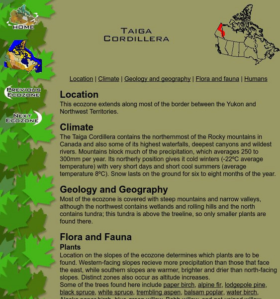
Mc Gill University: Canadian Biodiversity: Ecozones: Taiga Cordillera
The Taiga Cordillera extends along the border of the Yukon and Northwest Territories. This is a brief, concise description of the location, climate, geology and flora and fauna. It includes a collection of images of the landscape as well...
McGill University
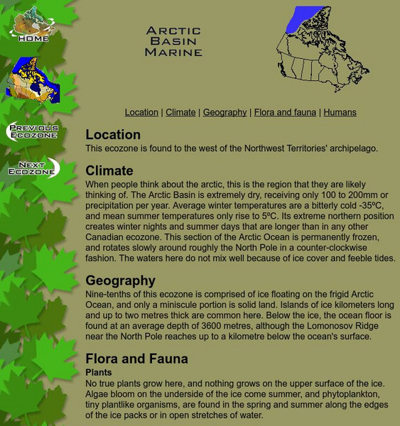
Mc Gill University: Canadian Biodiversity: Ecozones: Arctic Basin Marine
The Arctic Basin Marine ecozone is found to the west of the Northwest Territories archipelago. This brief, concise description includes a collection of images of the animals and birds native to the location. Many of the images include...
Library of Congress
Loc: Arthur st.clair (1736 1818)
A brief description of the military career of Arthur St.Clair, including his roles in the American Revolution and against the Indians in the Northwest Territory.
Other
Inuvialuit Regional Corporation: Modern Inuvialuit Culture
Find out about modern day life for the people of the Northwest Territories. Make sure to click on the 'culture' link to open a drop-down menu covering clothing, food, drum dancing, language, oral traditions, and the Northern Games.
Library of Congress
Loc: Web Guides: Primary Documents in American History
An extensive collection of primary source documents of early development of the new United States. Resources include a wide variety of details about the Northwest Ordinance.
Wikimedia
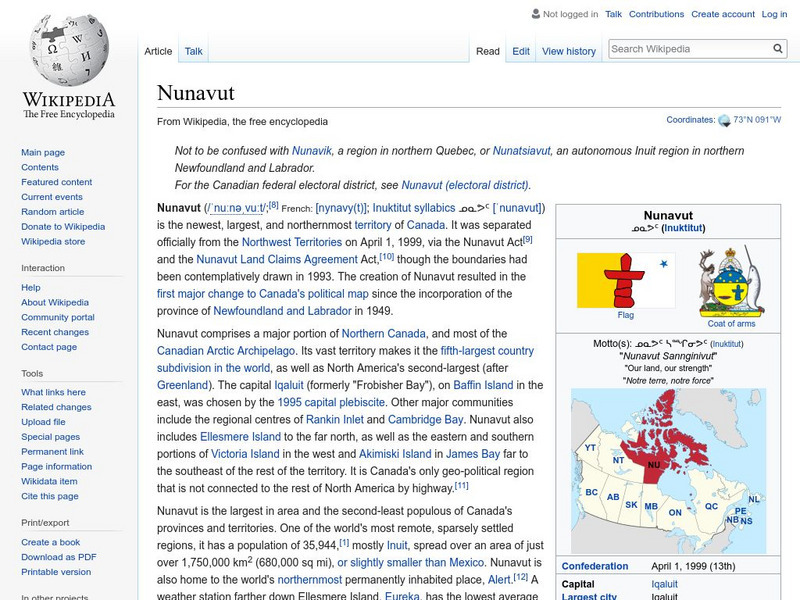
Wikipedia: Nunavut
A third Canadian northern territory was created in 1999 when the Northwest Territories was divided, thus forming Nunavut. This article covers its history, symbols, demography, geography, and much more.
Curated OER
Educational Technology Clearinghouse: Maps Etc: Northwest Territory, 1795
The Ohio Valley and Great Lakes region after the French and Indian War (1754-1763). The Northwest Ordinance of 1787 was the first organization of land in the United States after the first 13 colonies. This ordinance set the important...


