Hi, what do you want to do?
Curated OER
Map of the Northwest Territory
This is a study guide about the Northwest Ordinance created to help students prepare for the Citizenship portion of the Ohio 9th Grade Proficiency Test. There are links to important terms or other related words.
National Humanities Center
National Humanities Center: Toolbox Library: America, 1789 1820: The Northwest Ordinance, 1787
The National Humanities Center presents collections of primary resources compatible with the Common Core State Standards historical documents, literary texts, and works of art thematically organized with notes and discussion questions....
Curated OER
Cbc.ca: The Search for the Northwest Passage :Frobisher's Second Voyage
Forbisher's second expedition set out to find gold rather than a route to China. Why the change in goals? He claimed the Arctic territory for England and returned with ships loaded with ore. Had he given up the dream of the Passage?
Other
Canadian Tourism Commission: Maps canada.travel
This interactive map is an excellent student and teacher resource. Select Places to Go to show regions, provinces or territories and capital cities. Hover over the area to get links to more detailed information. Get up to the minute...
Other
Bird Life International: Bird Links to the World: Canada
There is a wealth of Canadian bird study links on this site. This page has general links for Canada. Clicking on each province or territory on a map takes you to links specific to that area.
Curated OER
Etc: Development of the Northwest Territory in Us, 1790 1810
A map of the American Northwest Territory showing the boundary developments in 1790, 1800, and 1810. The upper left map shows the territory acquired by the United States from Britain after the Revolutionary War as established by the...
Other
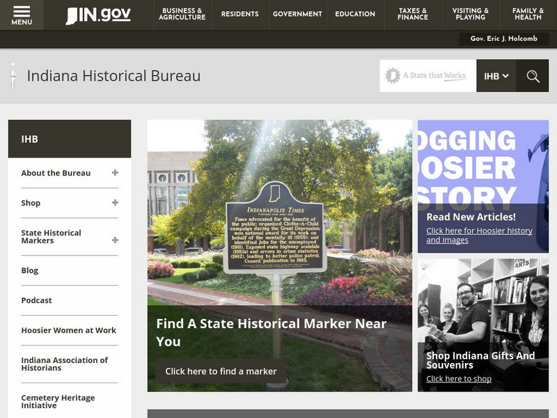
Indiana Historical Bureau
This resource from the Indiana Historical Bureau makes available documents that were instrumental in the settlement of Indiana from as far back as 1781. The documaents have introductions that help in understanding their relevancy in the...
Ohio History Central
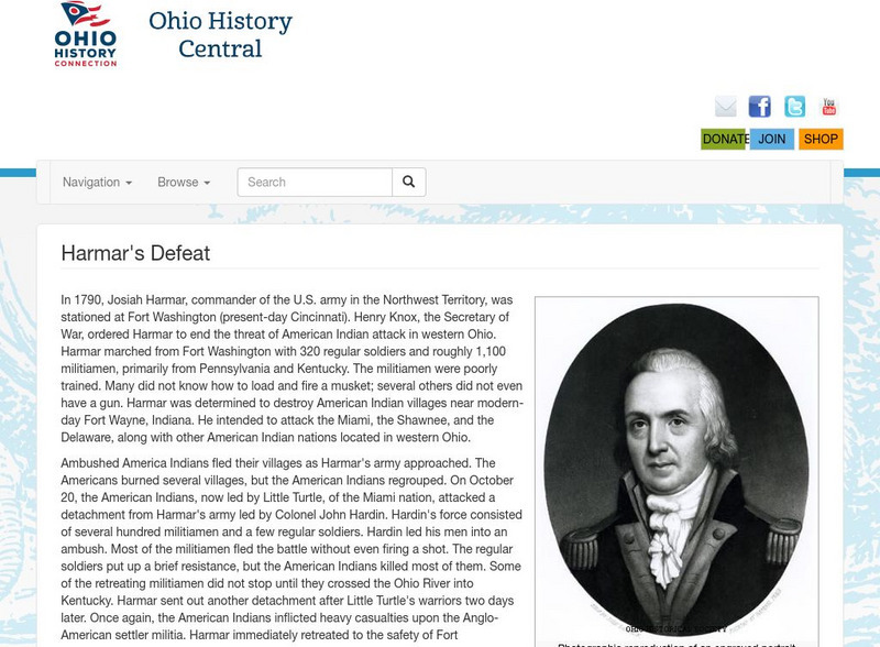
Ohio History Central: Harmar's Defeat
A history of the defeat of an American Army led by General Josiah Harmar in 1790 against the Delaware, Miami and Shawnee Indians near Fort Wayne in Indiana. Involved were men, both white and Indian, who fought in the Northwest struggles.
Ohio Test Prep
Ohio Test Prep: Module 2: American Revolution and New Nation
Ohio state test preparation material in Social Studies prepares students on the topic of the American Revolution, Northwest Ordinance and statehood. Learning materials include video tutorials, interactive review games, downlodable review...
Curated OER
Etc: Early Territory of the United States, 1783 1863
A map of the early United States west of the Mississippi River, showing the original territory after the Treaty of Paris 1783, the territory northwest of the Ohio River, the territory south of the Ohio River, the Mississippi Territory...
Curated OER
Etc: Territorial Growth of the United States , 1783 1867
A map from 1897 of the United States showing the territorial growth from the original States and the Northwest Territory in 1783 to the purchase of Alaska from Russia in 1867. The map is color-coded to show the progression from the...
Curated OER
Etc: Territorial Growth of the United States, 1783 1867
A map from 1897 of the United States showing the territorial growth from the original States and the Northwest Territory in 1783 to the purchase of Alaska from Russia in 1867. The map is color-coded to show the progression from the...
Curated OER
Etc: The Territorial Growth of the United States, 1783 1853
A map from 1911 of the United States showing the territorial growth from the original States and the Northwest Territory in 1783 to the Gadsden Purchase of 1853. The map is color-coded to show the progression from the original thirteen...
Curated OER
Etc: The Territorial Growth of the United States , 1783 1853
A map from 1894 of the United States showing the territorial growth from the original States and the Northwest Territory in 1783 to the Russian cession of Alaska in 1867. The map is color-coded to show the progression from the original...
Curated OER
Etc: Original Territory of the United States, 1783 1790
A map of the United States showing the territorial growth from 1783 to 1790. The map is color-coded to show the original territory after the American Revolutionary War, the Northwest Territory north of the Ohio River in 1787, the...
Curated OER
Etc: Territorial Acquisitions of the United States, 1783 1900
A map from 1920 of the United States and its territories between 1783 and 1900 showing the nation's expansion and date of acquisition of each new territory or possession. The map is color-coded to show the progression from the original...
Curated OER
Etc: Acquisition of Territory, 1783 1884
A map from 1885 of the United States showing the territorial growth from the original States and the Northwest Territory in 1783 to the Russian cession of Alaska in 1867. The map is color-coded to show the progression from the original...
Curated OER
Etc: Territorial Growth of the United States, 1783 1853
A map from 1914 of the United States showing its acquisition of territory from the original states and Northwest Territory after the American Revolutionary War in 1783 to the Gadsden Purchase in 1853. The dates for each acquisition are...
Curated OER
Etc: How the United States Obtained Its Territory, 1783 1853
A map of the United States showing its acquisition of territory from the original states and Northwest Territory after the American Revolutionary War in 1783 to the Gadsden Purchase in 1853.
University of Washington
Northwest Imagery: The Photography of Edward and Asahel Curtis
Edward and Asahel Curtis provide wonderful insight into Washington State in the late 1800's and early 1900's. Edward provides us his perceived traditions of North American Indians and Asahel photographed Washington's natural resources...


