Other
Merco Press: News From Latin America and Mercosur
The Merco Press, operating out of Montevideo, Uruguay, presents the top news stories originating out of the Mercosur countries (Uruguay, Paraguay, Argentina, Brazil, Chile and Bolivia) and the Falkland Islands.
Other
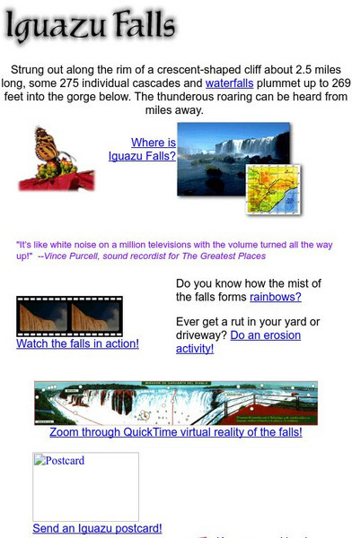
Iguazu Falls
Great introduction to Iguazu Falls in South America, on the borders of Brazil, Paraguay, and Argentina. This site is definitely geared for elementary school students, but older students may also enjoy the visit.
Curated OER
Etc: Argentina, Chile, Paraguay, and Uruguay, 1914 1919
Map of southern part of South America in 1919.
Curated OER
Unesco: Paraguay: Jesuit Missions of La Santisima Trinidad De Parana
In addition to their artistic interest, these missions are a reminder of the Jesuits' Christianization of the Rio de la Plata basin in the 17th and 18th centuries, with the accompanying social and economic initiatives.
University of Florida
Baldwin Library: The Boy Travellers: South America by Thomas W. Knox
This is an online photocopy of the original text of the children's book The Boy Travellers: South America by Thomas W. Knox (c1885). A fictional account of the adventures of two youths in a journey through Ecuador, Peru, Bolivia, Brazil,...
Other
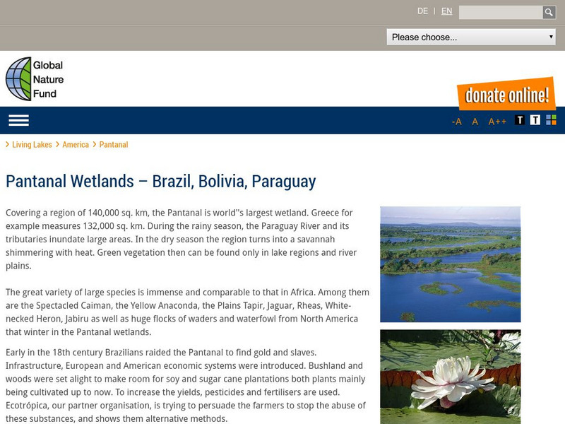
Global Nature Fund: Pantanal
A web resource that describes the Pantanal, the "world's largest wetland". It covers parts of Brazil, Bolivia, and Paraguay. Click on 'detailed data' to read lots of factual information.
Other
Spanish Abroad, Inc.
This resource provides information about Spanish language study abroad programs throughout Latin America and Spain.
Other
Association of American Chambers of Commerce in Latin America
The AACCLA promotes trade and investment between the United States and Latin America. Country-specific information and general NAFTA information are provided.
Other
Iguazu Argentina
Everything you'd want to know to plan a trip to Iguazu Falls. Features news of the Falls area, location information, a map, history of the National Park, how the falls were formed, and beautiful photographs. Be sure to watch the video!
Wikimedia
Wikipedia: Latin America
Article on Latin America that provides a great overview of the region. Discussions include history, religion, culture, links to information about each of the countries, and more.
Other
Worldpress.org: Map of South America
This interactive map lets you click on the name of a country in South America to get a more detailed view and facts about its geography, economy, media, and demographics.
Encyclopedia Britannica
Encyclopedia Britannica: Parana River
This site provides some brief information about the Parana River.
Curated OER
Educational Technology Clearinghouse: Maps Etc: Peru and Bolivia, 1906
A map of Peru and Bolivia from 1906 showing the political boundaries at that time. The map shows the capital cities of Lima (Peru) and La Paz (Bolivia), major cities, towns, and ports, railroads, rivers, lakes, mountains and terrain, and...
Curated OER
Educational Technology Clearinghouse: Maps Etc: Chile and Argentina, 1911
A map from 1911 showing the political boundaries of Argentina, Chile, Paraguay, and Uruguay at the time. Bordering portions of Brazil and Bolivia are also shown. State boundaries are shown in red, and the map includes capitals, major...
Curated OER
Educational Technology Clearinghouse: Maps Etc: Southern South America, 1920
A map from 1920 showing the southern part of South America, including the national, state, and territory borders at the time for Argentina, Paraguay, Uruguay, southern Chile, and southern Brazil. The map shows capitals and other major...
Curated OER
Educational Technology Clearinghouse: Maps Etc: Northern South America, 1920
A map from 1920 showing the northern part of South America, including the national borders at the time for Columbia, Venezuela, the Guianas, Ecuador, Peru, Bolivia, and the northern portions of Brazil, Argentina, and Paraguay. The map...
Curated OER
Educational Technology Clearinghouse: Maps Etc: Southern South America, 1920
A map from 1920 of the southern part of South America from Sao Paulo on the Atlantic and Iquique on the Pacific south to Tierra del Fuego. The map shows the political boundaries at the time for Argentina, Paraguay, Uruguay, and the...
Curated OER
Educational Technology Clearinghouse: Maps Etc: Northern South America, 1920
A map from 1920 of the northern part of South America from the Caribbean Sea south the Rio de Janeiro. The map shows the political boundaries at the time for Panama, Columbia, Venezuela, British, Dutch, and French Guiana, Ecuador, Peru,...
Curated OER
Educational Technology Clearinghouse: Maps Etc: Southern South America, 1914
A map from 1914 of the southern part of South America from Victoria, Brazil on the Atlantic and Iquique, Chile on the Pacific south to Tierra del Fuego. The map shows the political boundaries at the time for Argentina, Paraguay, Uruguay,...
Curated OER
Etc: Maps Etc: Eastern Part of South America, 1922
A map from 1922 showing national borders in eastern South America at the time, including British, Dutch, and French Guiana, eastern Brazil, and Paraguay, with portions of Venezuela, Bolivia, Argentina, and Uruguay.
Curated OER
Etc: Maps Etc: South America (Southern Part), 1920
A map from 1920 of the southern part of South America from Sao Paulo on the Atlantic and Iquique on the Pacific south to Tierra del Fuego. The map shows the political boundaries at the time for Argentina, Paraguay, Uruguay, and the...
Curated OER
Etc: Maps Etc: Southern Part of South America, 1922
A map from 1922 of the southern part of South America from Santos on the Atlantic and Iquique on the Pacific south to Tierra del Fuego. The map shows the political boundaries at the time for Argentina, Paraguay, Uruguay, and the southern...
Curated OER
Etc: Maps Etc: Northern Part of South America, 1920
A map from 1920 of the northern part of South America from the Caribbean Sea south the Rio de Janeiro. The map shows the political boundaries at the time for Panama, Columbia, Venezuela, British, Dutch, and French Guiana, Ecuador, Peru,...
Curated OER
Etc: Maps Etc: Comparative Areas of the United States and Other Countries, 1872
A map from 1872 of the United States used to illustrate the comparative area sizes of the states to other countries in the world. The map shows state and territory boundaries at the time (Dakota, Montana, Washington, Idaho, Wyoming,...
Other popular searches
- Paraguay Landforms
- Landforms of Paraguay
- Paraguay Money System
- Paraguay White Hair
- Paraguay Monetarysystem
- Paraguay Monetary System
- Paraguay Flags Color In
- Deforestation in Paraguay
- Government for Paraguay


