Hi, what do you want to do?
Curated OER
Educational Technology Clearinghouse: Maps Etc: New England Grants, 1643 1684
A map of the Massachusetts Bay Colony and New England Confederation (1643-1684) showing the grants of the area, and is keyed to show: (1) the Plymouth Colony (1620), (2) Massachusetts, (3) Massachusetts Bay, (4) Maine, (5) New Hampshire,...
Curated OER
Educational Technology Clearinghouse: Maps Etc: Pequod (Pequot) War, 1636 1638
A map of southern Connecticut and Rhode Island showing the area of the Pequot War (1636-1638) between the allied Massachusetts and Plymouth colonies against the Pequot tribe. The map shows the territories of the Mohegans, Narragansetts,...
Curated OER
Etc: New England Colonies, 1620 1641
A map of the New England Colonies showing the westward expansion of the Pilgrims from Plymouth (1620) to Stamford, Connecticut (1641). The map shows settlements in the area with dates of establishment given, colony boundaries, New...
Curated OER
Etc: New England Colonies, 1620 1638
A map of the New England colonies showing the early permanent Pilgrim settlements and their dates of establishment, including Plymouth (1620), Little Harbor, New Hampshire (1623), Pemaquid, Maine (1625), Salem, Massachusetts (1628),...
Curated OER
Etc: The Chief Settlements Made in New England, 1620 1675
A map of the New England region showing the chief early European settlements between 1620-1675. The map shows rivers, terrain and coastal features, the coastal settlements of Pemaquid, Saco, Dover, Portsmouth, Salem, Cambridge,...
Curated OER
Early Settlements in New England and Distribution of the Indian Tribes, 1686
A map of the Dominion of New England (1686), showing the early settlements and the general tribal lands of the Pawtuckets, Massachusetts, Wampanoags, Narragansets, Nipmucks, Pequods, and Mohegans. "New England, a collective name given to...
Curated OER
Educational Technology Clearinghouse: Maps Etc: Coast of Maine, 1884
A sketch map from 1884 of the Maine coastline showing early settlements, and is keyed to show: Shows locations of: (1) Portsmouth; (2) York (Gorgiana, 1641); (3) Agamenticus; (4) Saco; (5) Richmond Island; (6) Casco; (7) Sabino (Popham's...
Curated OER
Educational Technology Clearinghouse: Maps Etc: Fort Pentagoet, Maine, 1626
A sketch map of the eastern shoreline of Penobscot Bay, Maine, showing the location of the early French settlement and fort Pentagoet (Fort Pentagouet), or Castine at around the time the British from the Plymouth Colonies rousted the...
Curated OER
Educational Technology Clearinghouse: Maps Etc: Eastern Massachusetts, 1919
A road map of eastern Massachusetts in the vicinity of Plymouth, Weymouth, and Brockton from the Official Automobile Blue Book (1919), keyed to show the best auto routes, other auto routes, unreported roads, railroads, and canals.
Curated OER
Etc: English Settlements Around Massachusetts Bay, 1620 1652
A map of Massachusetts Bay showing the early English settlements from Plymouth to Haverhill on the Merrimac River.
Curated OER
Etc: Maps Etc: The Dominion of New Zealand, 1912
A map of New Zealand from 1912 showing provinces, cities, towns, ports, mountain ranges, rivers, lakes, and coastal features. The map notes that the provincial system of government was established in 1852, and abolished in 1875. An inset...
Curated OER
Educational Technology Clearinghouse: Maps Etc: King James' Patent, 1606
A map of eastern North America showing the territory of the King James Patent of 1606. The map is color-coded to show the territory granted the Plymouth Company and the London Company by King James I of England, which divided the...
Curated OER
Etc: Various English Grants in North America, 1625 1733
A map of the east coast of North America showing the various British land grants after the Plymouth Company and London Company issued by King James in 1620. The map shows settlements and forts with dates of establishment given.
Curated OER
Smithsonian Institution Archives: Maud Slye (1879 1954)
Maud Slye (1879-1954) was a pathologist and noted cancer researcher at the University of Chicago. A descendant of John Alden of the Plymouth Colony, Slye had attended the University of Chicago in 1896 with little money but, as her New...
Curated OER
Wikipedia: National Historic Landmarks in Massachusetts: Cole's Hill
Cole's Hill is the site of the burial ground of the Pilgrims. Those who died in the first winter of the Plymouth Colony (1620-21) were buried there.
Curated OER
Wikipedia: National Historic Landmarks in Maine: Cushnoc Archeological Site
Located near Fort Western, this site encompasses the remains of a 17th-century Plymouth Colony trading post.
Curated OER
Insula Hyspana, 1494
Numerous visual images of artifacts from English settlements at Jamestown and at Plymouth, and from Spanish settlement in Hispaniola, and three original accounts of each of those early settlements that describe the possibilities and the...
Curated OER
Educational Technology Clearinghouse: Clip Art Etc: Edward Winslow
Edward Winslow was a pilgrim and a leader of the Plymouth colony.
Siteseen
Siteseen: Land of the Brave: The Pilgrims
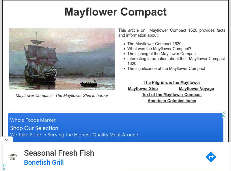
Provides an illustrated overview of the history of the Pilgrims and the Mayflower voyage.
Siteseen
Siteseen: Land of the Brave: Mayflower Compact
Detailed facts and an overview of the purpose and signing of the Mayflower Compact.
Wikimedia
Wikipedia: Mayflower Compact Signatories
This Wikipedia entry highlights the signers of the Mayflower Compact. Each signatory is listed along with a short bio.
Kidport
Kidport Reference Library: The British Colonies
A very brief description of the earliest English settlements in the New World followed by a list of the thirteen English colonies.
Syracuse University
Syracuse University: Map of New England, 17th Century
A map that shows the seventeenth-century migration routes of the Puritans from England to New England. Early population centers are designated as well as some interregional migrations.
Other popular searches
- Plymouth Rock
- Plymouth Colony
- Plymouth Plantation
- Plymouth and Jamestown
- Pilgrims of Plymouth
- Jamestown Plymouth
- The Pilgrims of Plymouth
- Plymouth Writing
- Plymouth Rock and Pilgrims
- 1620 Plymouth Rock
- Of Plymouth Plantation
- Education Plymouth Rock


