Other
Cincinnati Arts Association: E Kaa Bo [Pdf]
E Kaa Bo, the Nigerian word for "welcome," provides the introduction to this study guide in pdf format which explores Nigeria. The guide focuses on the land and climate, agriculture, economic history, rivers, languages, currency, and more.
Other
Manitoba Life and Times: Birth of Manitoba
Follow the events leading to the formation of Manitoba as a province. The early years at Red River, the Resistance, the Manitoba Act, amnesty, the metis, and the huge land grant are each addressed at length.
Other
Old Time Victrola Music: Blackface Minstrel Music
This website from Old Time Victrola Music, which sells victrola recordings of minstrel music from 1918, provides samples of several minstrel songs in Real Audio format.
Pennsylvania State University
Penn State: Still More Plate Tectonics, the Great Smoky Mountains
The Great Smoky Mountain National Park of North Carolina and Tennessee includes 16 mountains over 6,000 feet (about 2,000 m) high, making this generally the highest region in North America east of the Mississippi River. Gatlinburg is a...
NSTATE
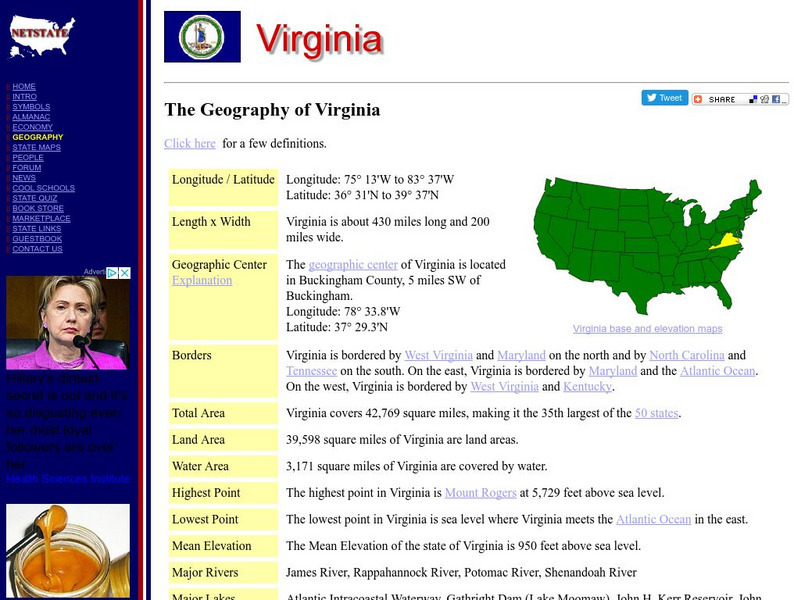
Netstate.com: The Geography of Virginia
Find a variety of facts about the geography of Virginia: geographic center, total area, elevations, and much more.
Curated OER
Educational Technology Clearinghouse: Maps Etc: Physical Map of Africa, 1910
A physical map of the African continent showing general color coded land elevations and water depths. This map shows rivers and prominent landform features, including highland regions, plateaus, mountains, and desert oases.
Curated OER
Educational Technology Clearinghouse: Maps Etc: Physical Europe, 1916
A physical map of Europe from 1916 showing color-coded elevations and water depths for the area extending from Iceland to the Ural Mountains in Russia Proper, and the Arctic Circle to the Mediterranean Sea. Land elevation colors range...
Curated OER
Educational Technology Clearinghouse: Maps Etc: Physical Map of Europe, 1916
A physical map of Europe from 1916 showing color-coded elevations and water depths for the area extending from Iceland to the natural boundary between Europe and Asia (Ural Mountains to the Caspian Sea), and the Arctic Circle to the...
Curated OER
Educational Technology Clearinghouse: Maps Etc: Landforms of Asia, 1904
An outline map from 1904 of Asia showing mountain systems, plateau, plains, major lakes, rivers, coastal features, and seas of the region. This map is used as a key map for locating landform features on a traditional relief map, where...
Curated OER
Educational Technology Clearinghouse: Maps Etc: Relief Map of Europe, 1872
A relief map of Europe showing major land forms and rivers.
Curated OER
Educational Technology Clearinghouse: Maps Etc: Physical Map of Europe, 1910
A physical map of Europe showing elevations, major land forms, rivers, and bodies of water.
Curated OER
Educational Technology Clearinghouse: Maps Etc: British Canada, 1791
A map of eastern Canada in 1791 after the American Revolution, during the formation of British North America and the division of Quebec into the largely French-speaking Lower Canada and the Loyalist Upper Canada. The map is color-coded...
![Cincinnati Arts Association: E Kaa Bo [Pdf] Activity Cincinnati Arts Association: E Kaa Bo [Pdf] Activity](https://static.lp.lexp.cloud/images/attachment_defaults/resource/large/FPO-knovation.png)

