Oakland Museum of California
Guide to San Francisco Bay Area Creeks
This is a very useful site for finding information about San Francisco's rivers and streams, which gives some background information and a map.
Other
The Marine Science Institute
The Marine Science Institute offers various general information about the San Francisco bay and its ecology.
US Geological Survey
U.s. Geological Survey: Landslide Danger in the San Francisco Bay Area
Download a movie about the 1982 landslides of the San Fransisco Bay Area. Shows many devastating stories, scientific discoveries, and the destruction the landslides caused. [58:27]
Read Works
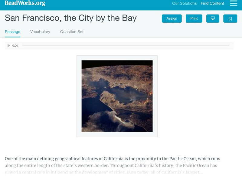
Read Works: San Francisco, the City by the Bay
[Free Registration/Login Required] An informational text about the discovery and growth of San A question sheet is available to help students build skills in reading comprehension.
California Digital Library
Library of Congress: San Francisco's Chinatown: Outsiders Looking In
The Chinese in California, 1850-1925 illustrates nineteenth and early twentieth century Chinese immigration to California through about 8,000 images and pages of primary source materials. Included are photographs, original art, cartoons...
Google Cultural Institute
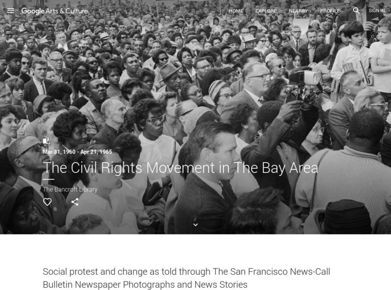
Google Cultural Institute: The Civil Rights Movement in the Bay Area
Photographs and news stories highlight the social change and protest that occurred during the Civil Rights movement in the San Francisco Bay area from 1960-1965.
A&E Television
History.com: Was the Escape From Alcatraz Successful?
A 2013 letter to the FBI, if real, suggests the Anglin brothers and Frank Morris survived one of the most daring and dangerous prison breaks of all time. It was one of the most ingenious prison breaks of all time -- if it worked. In...
Curated OER
Educational Technology Clearinghouse: Maps Etc: San Francisco Bay, 1911
A map from 1911 of the San Francisco Bay area showing the Golden Gate, San Francisco Bay, San Pablo Bay, Suisun Bay, the mouth of the Sacramento River, Alcatraz Island, Mount Diablo, the cities of San Francisco, Oakland, San Jose, and...
Curated OER
Educational Technology Clearinghouse: Maps Etc: San Francisco Bay, 1901
A map from 1901 of the San Francisco Bay area showing San Francisco and Oakland, roads, wharfs, shoreline features, islands, and the coastal ridges.
Curated OER
Educational Technology Clearinghouse: Maps Etc: San Francisco Bay, 1903
A map from 1903 of the San Francisco Bay area, showing roads, railroads, local jurisdictions, and physical features. The map pre-dates the bridge system of the bay, including the Golden Gate Bridge started in 1933.
Curated OER
Wikipedia: Natl Historic Landmarks in Ca: San Francisco Bay Discovery Site
On November 4, 1769 the expedition of Spanish explorer Gaspar de Portola reached the summit of the 1,200-foot (370 m) high Sweeney Ridge, where he sighted San Francisco Bay. It is now part of the Golden Gate National Recreation Area.
Curated OER
Science Kids: Science Images: Golden Gate Bridge, San Francisco Bay
The Golden Gate Bridge is a famous suspension bridge that reaches over the San Francisco Bay. Completed in 1937, the Golden Gate Bridge is a well known landmark that attracts a large number of tourists and photographers. For more...
Curated OER
National Park Service: Alcatraz Island
Part of the Golden Gate National Recreational Area, Alcatraz Island is located in the San Francisco Bay. Originally a lighthouse and military fort, the island is best known for being a federal prison. The island is packed full of...
PBS
Pbs Learning Media: Quest: Water Pollution Investigation
Water pollution is the contamination of water resources by harmful wastes or toxins. This type of pollution can be dangerous to animals and plant populations in and around lakes, rivers, polluted groundwater areas or oceans, and can pose...
Curated OER
Etc: Maps Etc: San Francisco Bay and Vicinity in California, 1884
A sketch map from 1884 showing the relative positions of the several bays along the California coastline between Cape Mendocino and Monterey.
Curated OER
Educational Technology Clearinghouse: Maps Etc: San Francisco and Vicinity, 1916
A map from 1916 of the San Francisco Bay area showing the Golden Gate, San Francisco Bay, San Pablo Bay, Suisun Bay, the mouth of the Sacramento River, Alcatraz Island, Mount Diablo, the cities of San Francisco, Oakland, San Jose, and...
Curated OER
Educational Technology Clearinghouse: Maps Etc: San Francisco and Vicinity, 1919
A map from 1919 of the San Francisco and vicinity showing the Golden Gate, San Francisco Bay, Oakland, Sausalito, San Quentin, Berkeley, and Alameda, railroads, islands, and rivers.
Curated OER
Educational Technology Clearinghouse: Maps Etc: San Francisco and Vicinity, 1909
A map from 1909 of the San Francisco and vicinity showing the Golden Gate, San Francisco Bay, Oakland, Sausalito, San Quentin, Berkeley, Alameda, Benicia, universities, railroads, and rivers.
Curated OER
Educational Technology Clearinghouse: Maps Etc: San Francisco and Vicinity, 1922
A map from 1922 of the area from San Francisco to Sacramento, showing the San Francisco Bay and Sacramento River, neighboring cities and towns, county boundaries, railroads, marshlands, coastal mountains, rivers, and coastal features.
Curated OER
Wikipedia: Featured Image: San Francisco Ferry Building
The Ferry Building is a terminal for ferries on the San Francisco Bay and an upscale shopping center located on The Embarcadero in San Francisco, California.
Other
Coastal Navigation and Exploration of the Monterey Bay
This site details the information known about California before 1769 based on the account of six explorers.
Hartford Web Publishing
World History Archives: Mexican Border Workers Fight for Unions
The story of Mexican workers and their attempt to unionize due to poor working conditions at a Hyundai plant in Tijuana. Fom a story by David Bacon in the San Francisco Bay Guardian on 06/11/1997.
