Other
Discover Canada Through National Maps and Facts: Relief
Links to all of Canada's provinces and territories relief maps. Maps can be viewed as a picture or as a .pdf file. Be sure to check out the links to lesson plans as well as the many other types of maps.
Library of Congress
Loc: Zoom Into Maps
What can we learn from maps? How can we use maps? How can we best read maps? Find out the answers to these with detailed explanations of making the most of maps presented to us. Examples of historical, pictoral, miratory, etc. types of...
PBS
Pbs Learning Media: Earth's Systems: Map It
Explore different types of maps and how different things are represented on maps in this media gallery from WGBH. Maps are used to help locate different places and different things. Map symbols are representations of larger things in the...
University of Texas at Austin
Perry Castaneda Library Map Collection: u.s. Maps
At this site find any type of map on the U.S. and any of its states here. Great site for teachers to print out maps to use in the classroom.
US Geological Survey
Usgs: Geologic Maps
This site has a good description of what this particular type of map represents. It also explains the colors and letter symbols, faults, and strike and dips.
University of Texas at Austin
Perry Castaneda Library Map Collection: African Maps
At this site find any type of map on Africa. Just click on what you want and you will get an accurate, colorful map.
Read Works
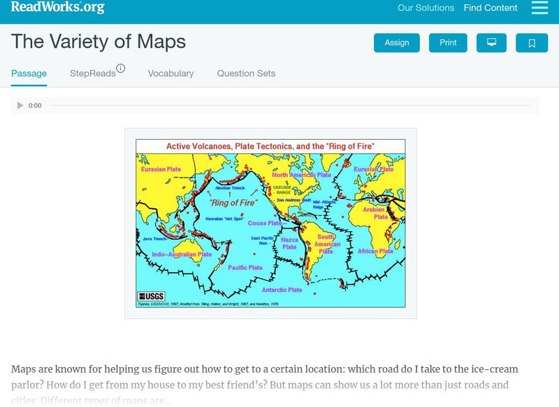
Read Works: The Variety of Maps
[Free Registration/Login Required] An informational text about many different types of maps and the people who make them. A question sheet is available to help students build skills in reading comprehension.
Other
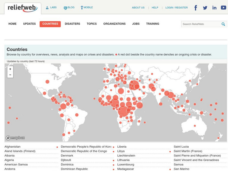
Relief Web: Countries
This resource provides information on countries throughout the world, current news, and different types of maps.
Princeton University
Princeton University: Qed: Mapping Globalization: Map Category Queries
A large database of historical maps that can be searched by map type, time period (prehistory to 21st century), theme, and world location. Themes cover economics, war, disease, trade, migration, and much more.
Sophia Learning
Sophia: Note Taking: Concept Maps and Flow Charts
This slideshow lesson focuses on note taking using concept maps and flow charts; it provides background information, 6 types of concept maps or flow charts with best uses, uses in the classroom, uses while reading or researching, and how...
CK-12 Foundation
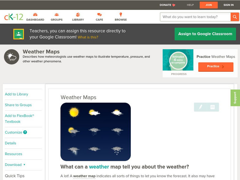
Ck 12: Earth Science: Weather Maps
[Free Registration/Login may be required to access all resource tools.] How meteorologists create and read weather maps.
Discovery Education
Discovery Education: Weather Maps
This site provides a lesson plan in which groups of students will each investigate a different type of weather map use for weather forecasting. Also includes discussion questions, extension ideas, and links to additional sites for more...
Johns Hopkins University
Johns Hopkins University: California Maps
At this site from the Johns Hopkins University Applied Physics Laboratory, you can learn more about the great state of California. Find out about the landforms that run through this vast state. There are several types of maps found at...
E-learning for Kids
E Learning for Kids: Science: Norway: What Are Some Types of Rocks?
Astrid lives in Norway, and really likes Viking ships and rocks. She is visiting a Viking museum, and needs help learning about different types of rocks, where rocks come from, and the different characteristics of rocks.
Latimer Clarke Corporation
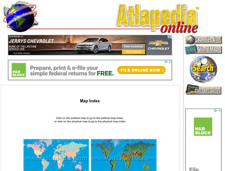
Atlapedia Online: Map Index
This website has a political and a physical map index.
ClassFlow
Class Flow: Map Tasia
[Free Registration/Login Required] This flipchart allows students to explore 3 basic types of maps, physical, political, and historical. Characteristics of each are discussed and web links to additional examples are given. A short quiz...
Other
Stadtplandienst Map Service
A helpful tool in finding locations in Germany. Just type in an address or town/city, or click on the interactive map, and receive a map of your destination. This site is only in German.
Center for Literacy and Disability Studies, University of North Carolina at Chapel Hill
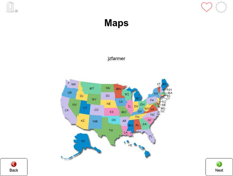
Tar Heel Reader: Maps (3)
Purposes, parts, and types of maps are featured for students to explore.
CK-12 Foundation
Ck 12: Earth Science: Maps Study Guide
Get an overview of different types of Earth Science maps.
AdLit
Ad lit.org: Classroom Strategies: Concept Maps
A concept map help students visualize various connections between words or phrases and a main idea. There are several types of concept maps; some are hierarchical, while others connect information without categorizing ideas.
Science Education Resource Center at Carleton College
Serc: An Investigation Into Geologic Mapping: Quarry Park
In this geology field lab, students will map an area around Quarry 12 and Quarry 13 in Quarry Park. Using a field notebook, students will take field observations to later produce a basic geologic map, topographic map, and a...
Houghton Mifflin Harcourt
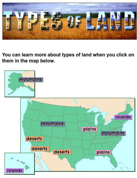
Harcourt: School Publishers: Types of Land
This clickable map of the United States defines different geographic features such as mountains, plains, islands, and deserts.
National Association of Geoscience Teachers
Nagt: Geology Map Observations
In jigsaw groups, students construct the Earth's tectonic plates using geologic maps. Skills such as careful observation, presentation, and synthesis are used to create a map that shows the type and location the plates.
CK-12 Foundation
Ck 12: Plix: Anaerobic vs. Aerobic Respiration: Types of Respiration
[Free Registration/Login Required] Fill in the concept map regarding respiration, anaerobic and aerobic, to test your knowledge of the different types. You will need a sign in code to access this media but it is worth it!
Other popular searches
- Different Types of Maps
- Reviewing Types of Maps
- Types of Maps Grids
- Types of Maps Worksheets
- 10 Types of Maps
- Three Types of Maps
- 2 Types of Maps
- Types of Maps Australia
- Types of Maps "Australia
- Types of Maps "Australia"
- Maps Types Key Symbols


