National Geographic
National Geographic: Mapping Marine Ecosystems
Marine ecosystems are examined in this lesson. Students identify examples of different types and locate them on a world map. Includes handouts, website links, and a vocabulary list with definitions.
ReadWriteThink
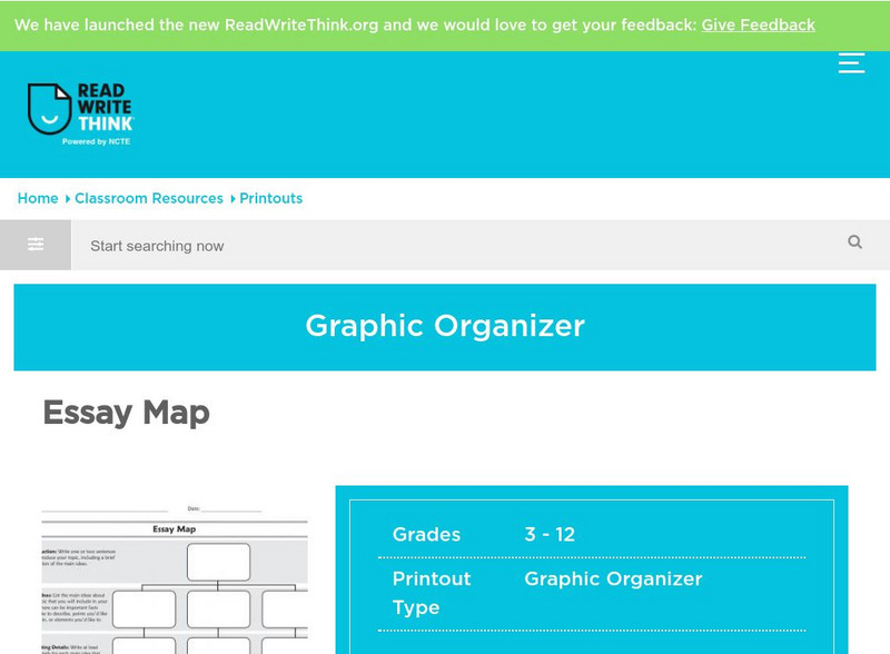
Read Write Think: Essay Map
A fillable essay map in PDF format with boxes for an introduction, main ideas, supporting details, and a conclusion. Directions on how to use this type of graphic organizer as well as lists of teaching ideas and related resources are...
Science Struck
Science Struck: A List of All Weather Symbols and Their Meanings
Provides a comprehensive list of weather symbols used on weather maps.
Other
Asia Society: Policy
A comprehensive storehouse of all types of information on Asia, both current and past: maps and statistics, Asian food, travel guides, photographs, articles, timelines, and more. Asia Source is the work of the Asia Society, a national...
Texas Education Agency
Texas Gateway: Democracy Project: Honk if You Agree
In this extensive lesson, students will learn to identify issues of importance, form their opinions, and support those opinions with evidence and reason. They will also learn how to state their feelings in a persuasive manner.
NASA
Nasa Earth Observatory: Putting Earthquakes in Their Place
Discover the location of faults by viewing a schematic Global Tectonic Activity Map. View the location of different types of faults, active spreading centers and volcanoes
Other
Go to Latin: Argentina Destinations
With its diverse geography, Argentina has more than 2.5 million sq. km. to explore and discover. Here is a selection of the most interesting and famous places in Argentina a tourist cannot miss. You can search for a destinations by...
American Institute of Biological Sciences
Action Bioscience: Ethical Issues in Pharmacogenetics
Pharmacogenetics allows for a more personalized drug to folks who need to take certain types of medicine in response to how human genes react. The study does not come without ethical questions such as medical privacy and unequal...
State Library of North Carolina
N Cpedia: Fontana Dam
Fontana Dam, the largest dam of the Tennessee Valley Authority (TVA) system, is located on the Little Tennessee River in Graham County. Completed in 1945, it is a gravity-type concrete structure 480 feet high, 2,365 feet long, and 376...
State Library of North Carolina
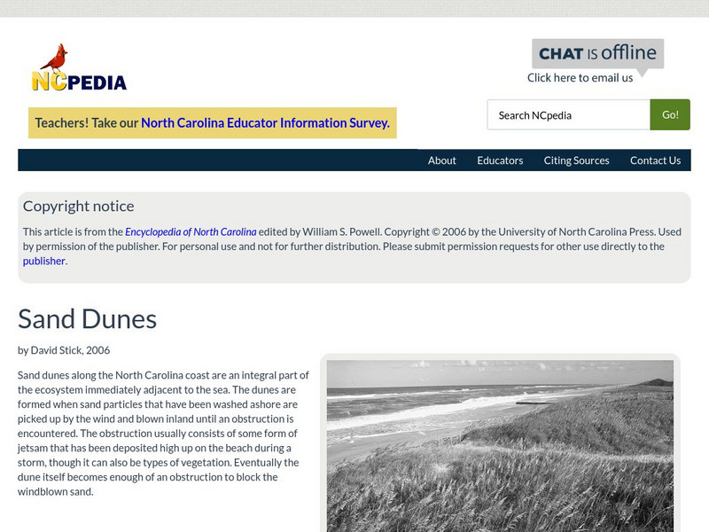
N Cpedia: Sand Dunes
Sand dunes along the North Carolina coast are an integral part of the ecosystem immediately adjacent to the sea. The dunes are formed when sand particles that have been washed ashore are picked up by the wind and blown inland until an...
C3 Teachers
C3 Teachers: Inquiries: Urban, Suburban, and Rural
A comprehensive learning module on types of communities that includes three supporting questions accompanied by formative tasks, maps, and images, followed by a summative performance task. Topics covered include characteristics of...
US Department of Labor
Bureau of Labor Statistics: Engineers
Mining engineers are described here along with all other types of engineers. The report also gives prospective earnings and a prediction of the future of a career.
Energy4Me
Energy4me: Name That Tune
Students will learn that scientists use seismic technology (sound waves) to map patterns of rock formations below the surface of the earth and that different types of rocks affect sound waves.
Other popular searches
- Different Types of Maps
- Reviewing Types of Maps
- Types of Maps Grids
- Types of Maps Worksheets
- 10 Types of Maps
- Three Types of Maps
- 2 Types of Maps
- Types of Maps Australia
- Types of Maps "Australia
- Types of Maps "Australia"
- Maps Types Key Symbols


