National Endowment for the Humanities
Neh: Edsit Ement: Mapping Our Worlds
In this instructional activity, introduce your learners to the world of maps and discover a world of information online. Students learn how to identify different types of maps, comparing maps to the rooms of a house.
TeachEngineering
Teach Engineering: Topo Map Mania!
Maps are designed to allow people to travel to a new location without a guide to show the way. They tell us information about areas to which we may or may not have ever been. There are many types of maps available for both recreational...
George Mason University
George Mason University: World History Sources: Maps
Learn about the history of maps, what makes a map a map, and why bother with maps. Get answers to many different map questions and much more.
ReadWriteThink
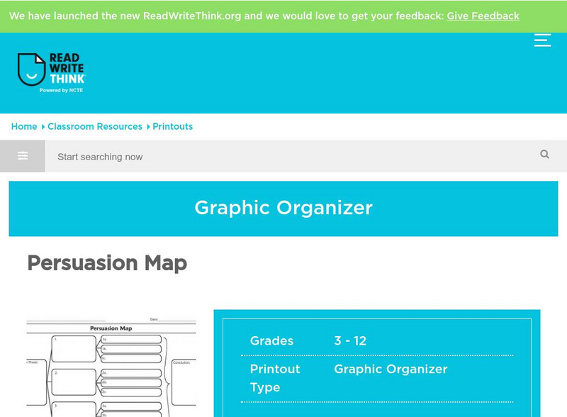
Read Write Think: Persuasion Map
A printable graphic organizer for students to use when writing on opinion or persuasive essay. Directions on how to use this type of graphic organizer as well as lists of teaching ideas, lesson plans, and other resources are also...
Cynthia J. O'Hora
Mrs. O's House: Tree Inventory and Map Project
Canvas the neighborhood or school grounds to identify the quantity and types of trees found. Students will map out the area including all of the trees locations. Reviewing the map, students will determine whether areas may benefit from...
US Geological Survey
Usgs: Map Adventures Lesson 4 Symbols and Legends
This lesson plan offers detailed instructions on the types and uses of map symbols.
Mariners' Museum and Park
Age of Exploration: Changing View of the World: The Development of Map Making
Read a summary of the history of map-making and the maps that were produced as a result of European exploration in the Americas. See examples of these maps and find out more about each one in this exhibit from the Mariners' Museum.
Other
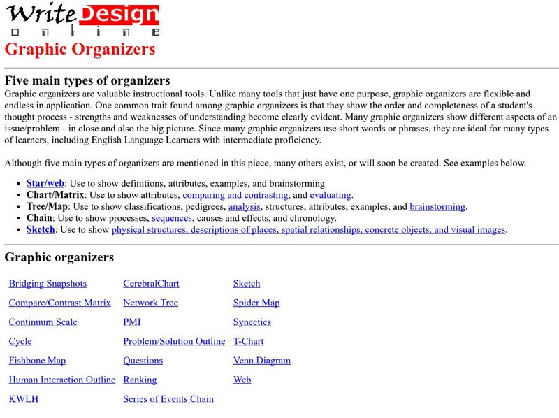
Five Main Types of Graphic Organizers
This site provides information on how to use each graphic organizer. There are also 21 different graphic organizers for you to see.
San Diego Zoo Global
San Diego Zoo: Peafowl
A great site to find out all about peacocks and peahens. Find a map to see where their natural home is, read about their habits, see pictures of different kinds of peafowl, and hear their call. From the San Diego Zoo.
Other
University of Queensland Australia: Digital Essentials: Choosing the Right Tool
Finding the right software, tool or app can be challenging. This module will help you find a tool for a specific task and allows you to compare similar tools to find the best match. Some of the information is only useful for university...
Other
Learning Resources: Graphic Organizers
A comprehensive site detailing the various types of graphic organizers. Provides information about graphic organizers in the classroom, the advantages of graphic organizers, and exploring the possibilities, including several links to...
Curated OER
National Park Service: What on Earth Is Plate Tectonics?
An easy-to-understand explanation of what plate tectonics is. Contains information about the inner parts of the Earth, the difference between the three types of plates, and numerous maps and illustrations.
National Earth Science Teachers Association
Windows to the Universe: Climate Changes With Latitude
A map showing the division of the world into eight biomes based on different climate types around the world. There are links to more information about each biome.
PBS
Pbs: Nova Online: Galaxies, Clusters, and Superclusters
PBS site explores these building blocks of the universe as well as their various types and clusters.
TeachEngineering
Teach Engineering: Build an Anemometer
Students create their own anemometers which are instruments for measuring wind speed. They see how an anemometer measures wind speed by taking measurements at various school locations. They also learn about different types of...
E-learning for Kids
E Learning for Kids: Math: Pizza (Italian) Restaurant: Angles I
In this interactive website, students practice various math skills such as identifying different types of angles, use the degree symbol, estimate and measure angles, and construct angles.
Other
Neatline: The Digital Declaration of Independence
An interactive Declaration of Independence. Passages of the original document are accompanied by typed text, and each founding father has a biography, a portrait, and a map showing where they are from.
Department of Defense
Do Dea: Discovery and Attribution
The research process can be daunting, but it doesn't have to be overwhelming! After you complete this self-guided unit, you will be well prepared to write a research paper. You will learn how to choose a topic, evaluate the reliability...
Nature Research
Scitable: Gene Inheritance and Transmission
Get an in-depth look at gene inheritance and transmission with this webpage. This site explores genetics beyond Mendel and his peas. Investigate transmission genetics with the following topics gene linkage, variation in gene expression,...
Michigan Technological University
Michigan Tech University: Where Do Earthquakes Happen?
An informative site that explains how and where earthquakes occur and the different types of faults. Contains maps and charts of fault lines, plate edges, and the continental plates. There are other links within the site of related...
Scholastic
Scholastic Instructor: Building Research Skills 2 3
Check out this site to learn more about building research skills for grades 2-3. This site offers suggestions for activities that will sharpen your abilities.
Other popular searches
- Different Types of Maps
- Reviewing Types of Maps
- Types of Maps Grids
- Types of Maps Worksheets
- 10 Types of Maps
- Three Types of Maps
- 2 Types of Maps
- Types of Maps Australia
- Types of Maps "Australia
- Types of Maps "Australia"
- Maps Types Key Symbols


