Curated OER
Earth Movers
Young scholars read an online article about an earthquake and follow up with a series of discussion questions about earthquakes. They answer questions in their science journals about continental drift, plate tetonics, and their...
Curated OER
Oceans Socratic Questioning
Learners participate in a whole class discussion of ocean-floor structures and plate tectonics. They respond to prompts in a structured sequence that lead them to conclusions about the role of plate tectonics in the creation of sea-floor...
Curated OER
The Effects of Volcanoes
Students use the internet to research the effects of volcanoes. They create a chart showing the negative and positive aspects that a volcanoe can bring to an area. Using PowerPoint, they create a presentation showing the negative and...
Curated OER
Cracked Marbles
Fourth graders determine how weathering, specifically ice, snow, and freezing water change the Earth's surface and rocks. After completing the investigations, they explain how heating and cooling expand and contract marbles until cracks...
Georgia Department of Education
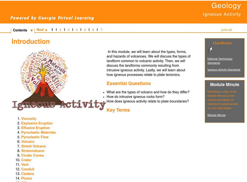
Ga Virtual Learning: Igneous Activity
In this interactive tutorial you will learn about the types, forms, and hazards of volcanoes. The types of landform common to volcanic activity is discussed. Then, the landforms commonly resulting from intrusive igneous activity are...
CK-12 Foundation
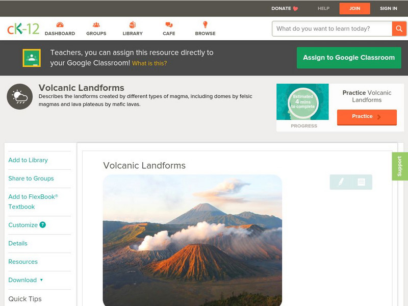
Ck 12: Earth Science: Volcanic Landforms
[Free Registration/Login may be required to access all resource tools.] Lava and magma create many types of landforms.
CK-12 Foundation
Ck 12: Earth Science: Volcanic Landforms
[Free Registration/Login may be required to access all resource tools.] Lava and magma create many types of landforms.
Science Struck
Science Struck: Types of Landforms
Describes different landform types and their features. includes many good quality photographs.
Science Education Resource Center at Carleton College
Serc: Field Activity: Exploring Glaciers, Ancient Seas, and Volcanism
In this geoscience all day field activity at Interstate State Park at Taylors Falls, MN, young scholars investigate and explore three events in Minnesota geological history.
Travel Document Systems
Tds: Equatorial Guinea: Geography
Equatorial Guinea is made up of islands and a continental region. Read about the land forms on each. Information is from the CIA World Fact Book.
TeachEngineering
Teach Engineering: Ready to Erupt!
Students observe an in-classroom visual representation of a volcanic eruption. The water-powered volcano demonstration is made in advance, using sand, hoses and a waterballoon, representing the main components of all volcanoes. During...
Science Buddies
Science Buddies: Pop Goes the Geyser!
Our home, Earth, is a living planet. Earthquakes and volcanic eruptions are proof that the geological forces that shaped our planet and created the land masses are ongoing. An amazing example of geologic activity that is less damaging is...
US Geological Survey
Us Geological Survey: How Hawaiian Volcanoes Work
This page from the US Geological Survey has several links to pages that explain the formation of volcanoes. These links will also explain the creation of new land and other hazards.
Curated OER
Etc: Maps Etc: Mexico, Central America, and the West Indies, 1898
A map from 1898 of Mexico, Central America and the West Indies. The map includes an inset map of Cuba and the Isthmus of Nicaragua. "The surface of the Rocky Mountain highland in Mexico is quite similar to that of the great plateau...


