Nations Online Project
Nations Online: Chad
Offers a travel guide and country profile of the Central African nation of Chad including basic facts and numerous links to comprehensive information on the islands' culture, history, geography, economy, environment, population, news,...
Nations Online Project
Nations Online: Togo
Offers an excellent online resource and country profile of the Western African nation of Togo, background overview, and numerous links to key sources of information on the nation's culture, history, geography, economy, environment,...
Nations Online Project
Nations Online: Senegal
Offers a travel guide and country profile of the African nation of Senegal including background details and numerous links to extensive information on the nation's culture, history, geography, economy, environment, population, news,...
Nations Online Project
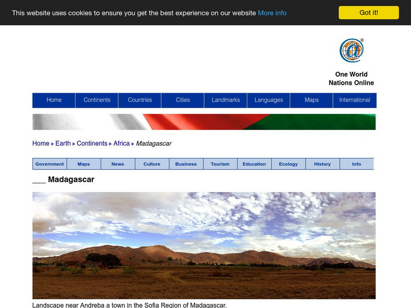
Nations Online: Madagascar
Offers an excellent online resource and country profile of the Southern African island of Madagascar, background overview, and numerous links to comprehensive information on the island's culture, history, geography, economy, environment,...
Nations Online Project
Nations Online: Lesotho
Provides a broad country profile of the South African nation of Lesotho, background overview, and numerous links to extensive information on the nation's culture, history, geography, economy, environment, population, news, government,...
Encyclopedia of Earth
Encyclopedia of Earth: Central African Republic
The Encyclopedia of Earth provides an overview of Central African Republic, including its geography, natural resources, history, government, economy, and much more. Maps and images are also included, along with sources used to create the...
Nations Online Project
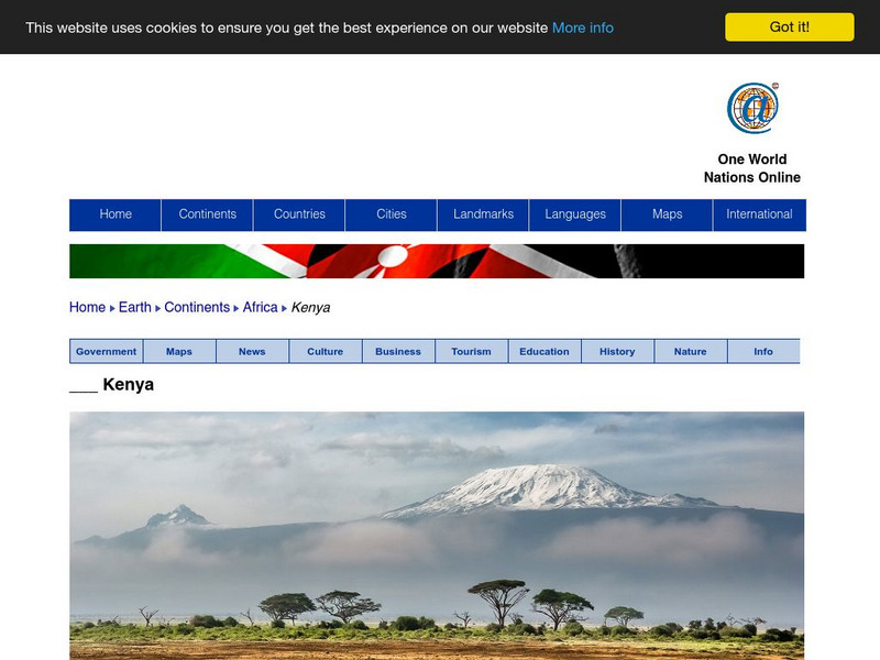
Nations Online: Kenya
Provides a country summary and destination guide to Kenya, background details, and numerous links to comprehensive information on the nation's culture, history, geography, economy, environment, population, news, government, maps, and...
Nations Online Project
Nations Online: Zambia
This is a complete reference source and travel guide to the South African nation of Zambia that includes a broad background overview and numerous links to sources with comprehensive information on the nation's culture, history,...
Encyclopedia of Earth
Encyclopedia of Earth: Kenya
The Encyclopedia of Earth provides an overview of Kenya, including its geography, natural resources, history, government, economy, and much more. Maps and images are also included, along with sources used to create the entry.
Nations Online Project
Nations Online: Cape Verde
Offers a travel guide and country profile of Cape Verde including background facts and numerous links to comprehensive information on the nation's culture, history, geography, economy, environment, population, news, government, and much...
Nations Online Project
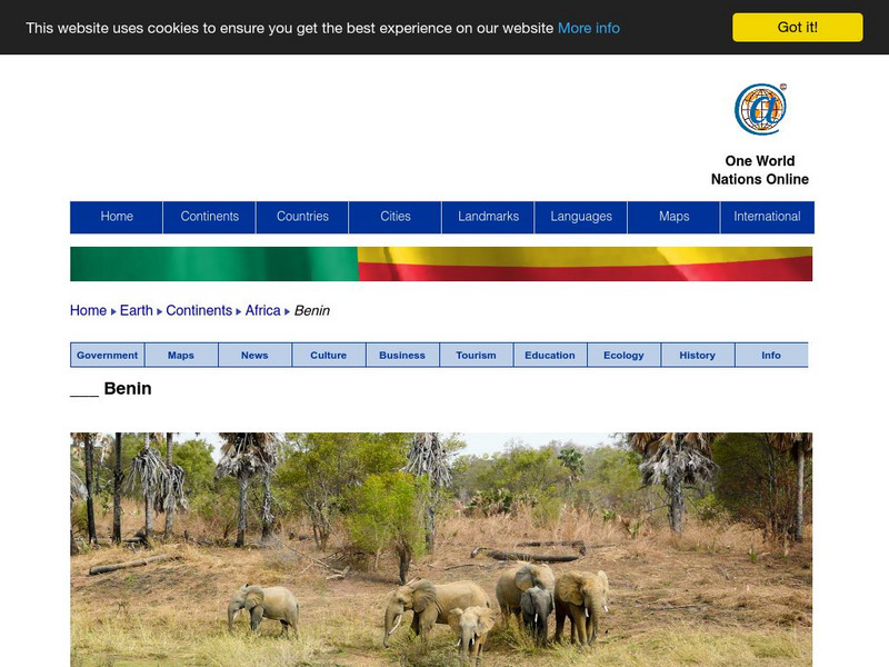
Nations Online: Benin
Features a colorful destination guide to Benin which is located in Western Africa. Provides background details, a country profile, and numerous links to comprehensive information on the nation's culture, history, geography, economy,...
Nations Online Project
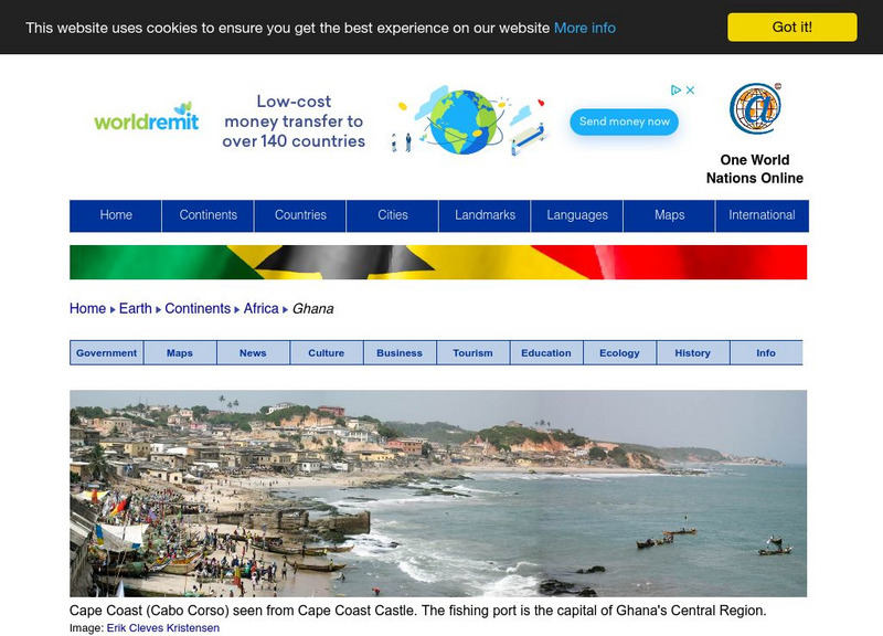
Nations Online: Ghana
Features a complete destination guide to Ghana, a country profile, broad background overview, and numerous links to comprehensive information on the country's culture, history, geography, economy, environment, population, news,...
PBS
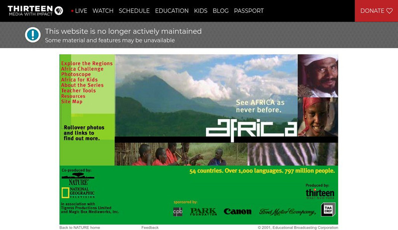
Wnet: Thirteen: Africa: Teacher's Guide
Explore the world of Africa through these teacher's guides. This site features teacher tools for middle school age students.
Houghton Mifflin Harcourt
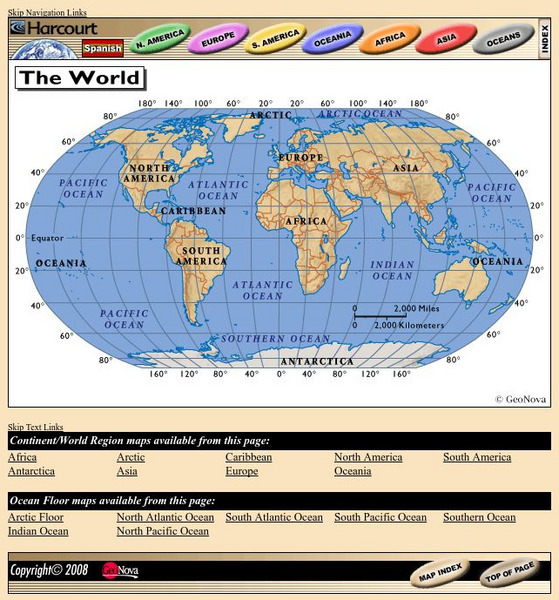
Harcourt: School Publishers: World Atlas: The World
Provides continent, country, and ocean floor maps from all over the world. Click on a continent's name to access the detailed maps which also include statistical facts on each available country.
Nations Online Project
Nations Online: Rwanda
Features a broad country profile of the Central African nation of Rwanda, background details, and numerous links to extensive information on the nation's culture, history, geography, economy, environment, population, news, government,...
Nations Online Project
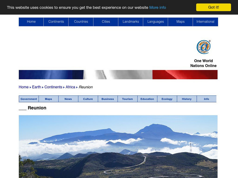
Nations Online: Reunion
Features a country profile and travel guide to the island of Reunion in the Indian Ocean, background details, and numerous links to comprehensive information on the island's culture, history, geography, economy, environment, population,...
Lizard Point Quizzes
Lizard Point Quizzes: Eastern Africa: Countries Quiz
Take this eleven question interactive map quiz to practice and test your knowledge of Eastern African geography.
That Quiz
Geografia Africa: That Quiz: Africa
Interactive practice to learn the countries of Africa. It keeps track of right and wrong answers and the time in which it takes to identify the maps.
National Geographic Kids
National Geographic Kids: Nigeria
Welcome to Nigeria! Follow this interactive overview of the country's history, geography, people, government, nature, and more. A map and video are included.
World Atlas
World Atlas: Africa
Learn about the history of Africa including Ancient Africa, African colonization, slave trade, and Post-Colonial Africa. Also covers maps, geography, countries, and interesting facts.
Curated OER
Map of Ethiopia
BBC News provides a general overview on the oldest independent East African country, Ethiopia. Includes country facts, information on leaders and media, and links to a timeline of key events and recent news.
Curated OER
Map of Rwanda
BBC News presents a general overview on the turbulent East African country of Rwanda. Includes country facts, information on leaders and media, and links to a timeline of key events and recent news.
Curated OER
Map of Uganda
BBC News presents a general overview on the East African country of Uganda. Includes country facts, information on leaders and media, and links to a timeline of key events and recent news.


