Hi, what do you want to do?
Curated OER
Imperialism and Expansion: Part 1
Learners explore the era of imperialism and expansion of the United States. In this American history lesson, students play a game regarding the U.S. attempts to expand the nation in the late 1800s and early 1900s.
Curated OER
Imperialism and Expansion: Part 2
Students explore the concept of American Imperialism. For this American foreign policy lesson, students take notes on the Spanish-American War and foreign policy practices of the United States in the late 1800s.
Curated OER
The Imperial Republic: 1865-1914 (6)
In this online interactive American history instructional activity, students respond to 12 matching questions regarding 1865-1914 America. Students may check their answers immediately.
Curated OER
The Expansion of The United States, 1846-1848
Learners interpret historical maps,identify territories acquired by the United States in the 1840s. Also they identify states later formed from these territories. The primary sources for the lesson are the maps found in the lesson's...
Library of Congress
Loc: The Alaska Purchase: Debating the Sale
The 1867 Treaty of Cession, in which the United States purchased Alaska from the Russian empire, marked an unusually peaceful transition. The purchase of Alaska was done under amicable circumstances, and both Russia and the U.S. felt...
Other
Alaska History and Cultural Studies: Governing Alaska
The history of Alaska's government from the time it was first purchased from Russia up until it became a state is described. The structure of its government today is also explained.
US National Archives
Our Documents: Check for the Purchase of Alaska (1868)
Interactive images of two documents important in Alaska's history: the check written for its 1868 purchase from Russia and the Russian Treaty of Cession (an English transcript is provided), which concluded the deal.
University of Oregon
University of Oregon: Mapping History: Alaska and Hawaii
On this map you can see Alaska and Hawaii in relation to the contiguous United States and read brief text about their purchase/annexation, territorial status, and addition as states.
Curated OER
Educational Technology Clearinghouse: Maps Etc: Purchase of Alaska, 1867
A base map of Alaska showing the territory purchased from Russia in 1867.
Curated OER
Etc: Alaska Boundary Controversy, 1867 1903
A map of southeastern border of Alaska and Canada showing the area of boundary dispute and the boundary established by the Hay-Herbert Treaty between Britain and the United States in 1903. The map shows the coastline and fjords of the...
Curated OER
Wikipedia: National Historic Landmarks in Alaska: Russian American Building #29
Siding covered log building; dates back to the years after the 1867 purchase of Alaska.
Country Studies US
Country Studies: Ambivalent Empire
With the purchase of Alaska in 1867, the United States embarked on the road of building an empire. From Alaska to the Spanish-American War to the Philippine Islands, the U.S. grew as an imperial nation throughout the latter half of the...
Independence Hall Association
U.s. History: Early Stirrings
American desire for overseas expansion began as early as the purchase of Alaska from Russia. See what other actions were taken in the latter part of the 19th century, and find out why this imperialist view was taking hold.
US National Archives
Our Documents: A National Initiative on American History, Civics, and Service
Our Documents is home to one hundred milestone documents that influenced that course of American history and American democracy. Includes full-page scans of each document, transcriptions, background information on their significance, and...
University of Oregon
Mapping History: American History
Interactive and animated maps and timelines of historical events and time periods in American history from pre-European times until post-World War II.
OpenStax
Open Stax: American Foreign Policy 1890 1914: Turner, Mahan, and Roots of Empire
Examines the development of American foreign policy in the latter part of the 1800s, and what Frederick Jackson Turner and Alfred Thayer Mahan did to further American imperialistic interests.
Gilder Lehrman Institute of American History
Gilder Lehrman Institute: History Now: Empire Building
[Free Registration/Login Required] A lengthy essay about American focus on foreign affairs after the Civil War, expanding particularly in the late 19th century. Read about U.S. exploits in the Caribbean, Latin America, and the Pacific...
US Department of State
Biographies of the Secretaries of State: William Henry Seward (1801 1872)
Brief biography on William Henry Seward who was appointed Secretary of State by Abraham Lincoln on March 5, 1861, and served until March 4, 1869. Seward carefully managed international affairs during the Civil War and also negotiated the...
Encyclopedia Britannica
Encyclopedia Britannica: Andrew Johnson
This site from Britannica provides information on President Andrew Johnson.
Other
Impeachment of Andrew Johnson: William H. Seward
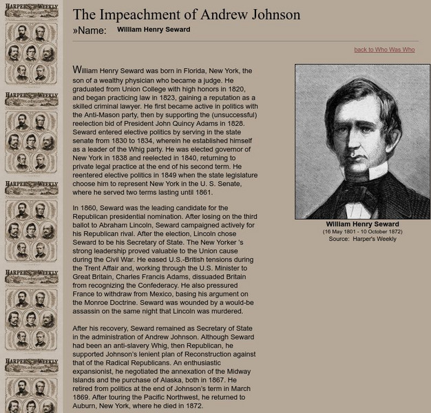
Short biography of the man who served as secretary of state under President Lincoln and Johnson.
Curated OER
Etc: The Growth of the United States, 1776 1867
A map of the United States showing the growth of the nation from 1776-1867. The map is color-coded to show the thirteen original states, the territory acquired by conquest during the revolution and the Treaty of 1783, the Louisiana...
Curated OER
Etc: Territorial Development of the United States, 1783 1867
A map of the United States showing the growth of the nation from 1783-1867. The map is color-coded to show the thirteen original states, the territory acquired by conquest during the revolution and the Treaty of 1783, the Louisiana...
Curated OER
Etc: The Alaskan Boundary Dispute, 1825 1903
A map of the northern Pacific coastland of North America showing the territorial dispute of the Alaska boundary from the Anglo-Russian Treaty of St. Petersburg in 1825 that established the British claims, the purchase of the area by the...
Curated OER
Etc: Territorial Growth of the United States , 1783 1867
A map from 1897 of the United States showing the territorial growth from the original States and the Northwest Territory in 1783 to the purchase of Alaska from Russia in 1867. The map is color-coded to show the progression from the...


