Other
Paper Plate Education: Serving the Universe on a Paper Plate
Excellent resource for "paper-plate" activities that help simplify various astronomy topics. Learn how to build a "Moon Finder" and "Planet Pointer," and create a paper-plate model that explains the Transit of Venus.
Homeschool Math
Homeschool Math: Area of Parallelograms
This activity presents the idea that the area of any right triangle is exactly half of a certain rectangle, and contains varied exercises for students.
National Council of Teachers of Mathematics
The Math Forum: Drexel Math Forum: Distance to an Object
Dr. Math offers a way to calculate the altitude of a triangle using only the lengths of the sides of the triangle. He briefly explains how this was used by the Egyptians long ago.
Curated OER
Click Here to Get a Picture of the Maya Area in Central America
This site from the Virtual Sun gives a detailed account of the geographical region once inhabited by the Maya People. It describes the landscape, climate, and altitude.
Curated OER
Click Here to See a Rainfall Map
This site from the Virtual Sun gives a detailed account of the geographical region once inhabited by the Maya People. It describes the landscape, climate, and altitude.
Curated OER
Click Here to See a Temperature Map
This site from the Virtual Sun gives a detailed account of the geographical region once inhabited by the Maya People. It describes the landscape, climate, and altitude.
Curated OER
Educational Technology Clearinghouse: Maps Etc: Climatic Regions of Mexico, 1899
A map from 1899 of Mexico showing the general climate divisions of the region, including areas of warm climate, temperate climate, and cold climate. "The Tropic of Cancer crosses Mexico near the center. The low, hot, and moist coast...
Curated OER
Educational Technology Clearinghouse: Maps Etc: North America, 1885
A map from 1885 of North America and Central America showing the major relief features of the region. The map shows the primary highland known as the Pacific Highland, with the Sierra Nevada and Rocky Mountains, the secondary highlands...
Curated OER
Etc: Maps Etc: Mexico, Central America, and the West Indies, 1898
A map from 1898 of Mexico, Central America and the West Indies. The map includes an inset map of Cuba and the Isthmus of Nicaragua. "The surface of the Rocky Mountain highland in Mexico is quite similar to that of the great plateau...
Curated OER
Unesco: Peru: Rio Abiseo National Park
The park was created in 1983 to protect the fauna and flora of the rainforests that are characteristic of this region of the Andes. There is a high level of endemism among the fauna and flora found in the park. The yellow-tailed woolly...
Curated OER
Unesco: United States of America: Mesa Verde National Park
A great concentration of ancestral Pueblo Indian dwellings, built from the 6th to the 12th century, can be found on the Mesa Verde plateau in south-west Colorado at an altitude of more than 2,600 m. Some 4,400 sites have been recorded,...
Curated OER
Unesco: China: Historic Ensemble of the Potala Palace, Lhasa
The Potala Palace, winter palace of the Dalai Lama since the 7th century, symbolizes Tibetan Buddhism and its central role in the traditional administration of Tibet. The complex, comprising the White and Red Palaces with their ancillary...
Curated OER
Jean Dougherty Strother With e.j. Ducayet (Right), r.c. Buyers (Left)
Dora Jean Dougherty Strother (b. 1921) (center) was a human factors engineer and test pilot for Bell Helicopter Co. in 1961 when this photograph was taken, and had just broken a helicopter altitude record (at 19,406 feet) in a Bell...
Curated OER
Science Kids: Science Images: River Thames, England
This photo shows a high altitude, bird's eye view of the River Thames, one of the most famous rivers in the world. The River Thames flows through London and the southern part of England and is around 346 kilometres (215 miles) in length....
Curated OER
Science Kids: Science Images: Yangtze River, China
Located in China, the Yangtze River is one of the longest rivers in the world, reaching a length of around 6300 kilometres (3917 miles). This high altitude photo of the Yangtze River shows where the Three Gorges Dam is located. For more...
Sophia Learning
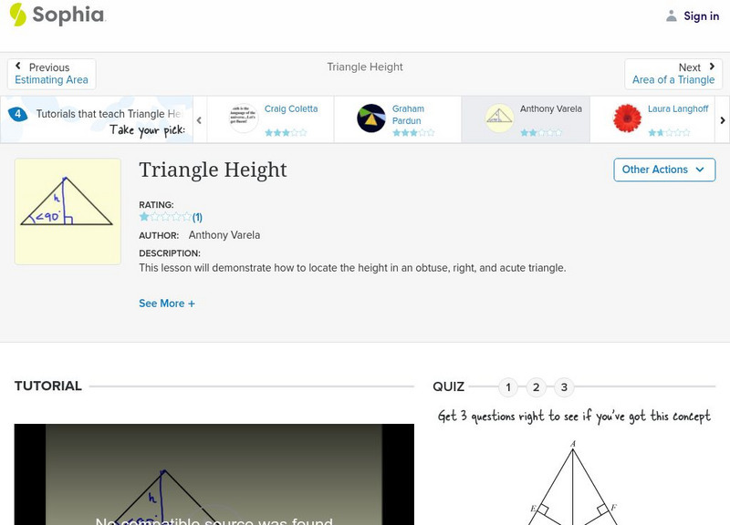
Sophia: Triangle Height: Lesson 2
This lesson will demonstrate how to locate the height in an obtuse, right, and acute triangle. It is 2 of 5 in the series titled "Triangle Height."
Sophia Learning
Sophia: Triangle Height: Lesson 4
This lesson will demonstrate how to locate the height in an obtuse, right, and acute triangle. It is 4 of 5 in the series titled "Triangle Height."
Study Languages
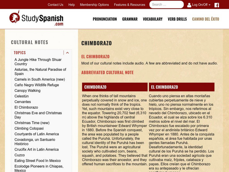
Study Spanish: El Ecuador
This site has an explanation in Spanish and English with a few comprehension questions about Ecuador's Mt.Chimborazo. An additional link provides more information on the indigenous people of Ecuador. Great reading selection for beginning...
Calculator Soup
Calculator Soup: Equilateral Triangles Calculator
An equilateral triangle is a special case of a triangle where all 3 sides have equal length and all 3 angles are equal to 60 degrees.
Other popular searches
- High Altitudes
- Geometry, Altitudes
- Medians and Altitudes
- Geometry Medians Altitudes
- Geometry Altitudes
- Altitudes in Geometry
- Geometry, Medians, Altitudes
- Triangles and Altitudes
- Medians Altitudes
- Triangle Trig Altitudes
- Altitudes and Bisectors


