Hi, what do you want to do?
Other
A Gathering of Nations: Images of History of the Indian Tribes of North America
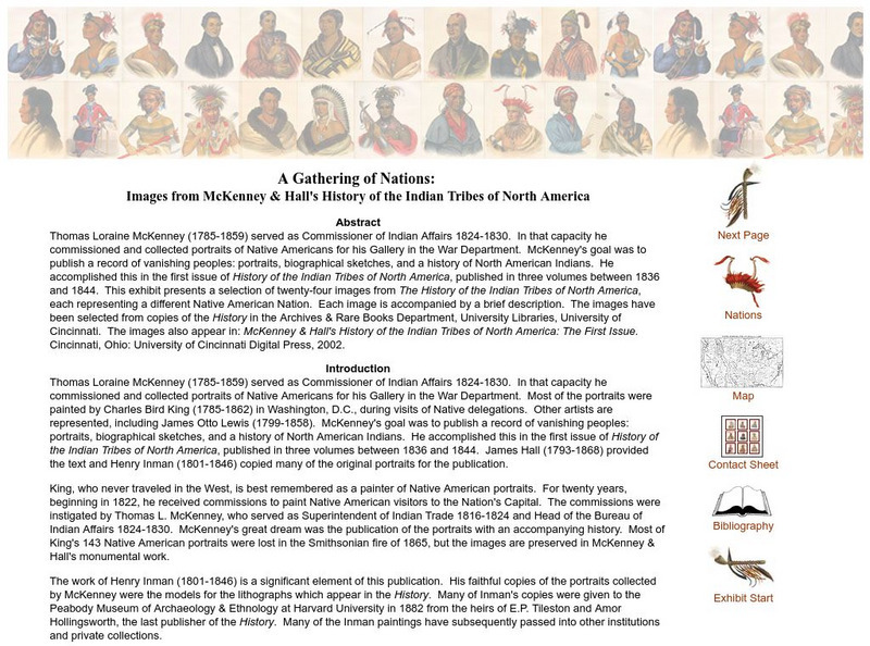
A selection of twenty-four images from The History of the Indian Tribes of North America, each representing a different Native American Nation. Each image is accompanied by a brief description.
Other
Archiving Early America: "Mad Anthony" Wayne at Fallen Timbers
This is a transcript of an article by Richard Battin which originally appeared in the Fort Wayne, Indiana "News-Sentinel." It provides biographical information on Anthony Wayne, an explanation of the circumstances in the Northwest...
Library of Congress
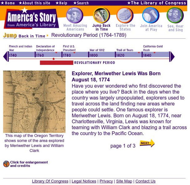
Loc: America's Story: Explorer, Meriwether Lewis Was Born Aug. 18, 1774
A brief look at the life of American explorer, Meriwether Lewis. Provides a historical map of the Oregon Territory, a portrait of Lewis, and a photograph from Little Belt Mountain.
Library of Congress
Loc: Built in America
This collection documents achievements in architecture, engineering, and design in the United States and its territories. Highlights of the collection include windmills, bridges, and buildings by Frank Lloyd Wright.
Library of Congress
Loc: America's Story: u.s. Ownership of Virgin Islands
Some houses today cost the same as the Virgin Islands! Learn about the history of the U.S. Virgin Islands.
Library of Congress
Loc: America's Story: Ohio
Can you guess what the Ohio state tree is? How many presidents were born and lived in Ohio? Find the answers to these questions by checking out this Library of Congress state profile.
Library of Congress
Loc: America's Story: Westward Expansion and Reform
Part of a longer time line describing the history of the American West, this section covers the period 1829 to 1859 with hyperlinks to stories and people of this time period.
Library of Congress
Loc: America's Story: Louisiana Purchase
This Library of Congress timeline series discusses the Louisiana Purchase.
Legends of America
Legends of America: Navajo Long Walk to the Bosque Redondo
This essay is about the Najavo Long Walk.
Other
Early America: Milestones: Northwest Ordinance
An introductory summary of the Northwest Ordinance along with a picture of the original document and the text to the full document.
National Humanities Center
National Humanities Center: Toolbox Library: America in 1850: Henry Clay: Review of the Debate on the Compromise Bills
Henry Clay's speech in the Senate in support of the Compromise of 1850 and the importance of preserving the Union.
Other
New Mexico Office of the State Historian: Pope
Read this fascinating information about Pope, the leader of the Pueblo Revolt of 1680. Learn how he was able to unite several tribes of Pueblo Indians who did not even speak the same language into a force that was able to push out the...
University of Oklahoma
University of Oklahoma College of Law: The Treaty of Greenville
Contains the full text of the Treaty of Greenville which was a treaty of peace and friendship between the United States of America and the tribes of Native Americans called the Wyandots, Delawares, Shawanees, Senacas, Miamies, Ottawas,...
Library of Congress
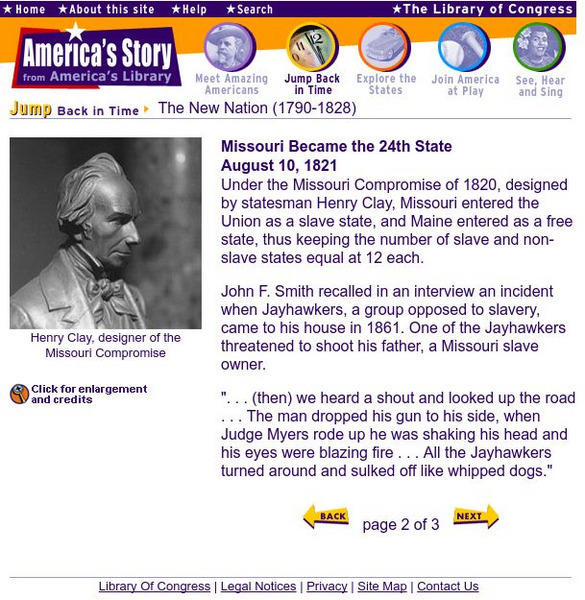
Loc: Missouri Became the 24th State
As Missouri became a state, America was divided by slavery. This site from the Library of Congress offers a description of the events, as well as a railroad map, a painting of the Missouri Squadron, and a bust of Henry Clay, designer of...
Library of Congress
Loc: Missouri Became the 24th State
As Missouri became a state, America was divided by slavery. This site from the Library of Congress offers a description of the events, as well as a railroad map, a painting of the Missouri Squadron, and a bust of Henry Clay, designer of...
Library of Congress
Loc: Immigration: Destroying the Native American Cultures
Detailed and extensive account of the plight of Native Americans during the westward growth of America. Includes maps, audio recordings, authentic letters, speeches,a great timeline, and much more.
iCivics
I Civics: Road to the Constitution
How did we go from thirteen British colonies to the United States of America? Explore the major hardships of life under British rule, how the colonists decided to break away, and how they set a path for a new and independent government....
Association of Religion Data Archives
Association of Religion Data Archives:national Profiles:saint Pierre, Miquelon
Learn about religion on the North American islands and French territories, Saint Pierre and Miquelon, in this Association of Religion Data Archives country profile; includes general facts, history, and religious data.
Other
Merco Press: Brazil
MercoPress is an "Independent news agency" concentrating on Mercosur (Common Market of the South) countries and includes in its area of influence the South Atlantic and insular territories. The particular site focuses on Brazil, but...
Other
Merco Press: Paraguay
MercoPress is an "Independent news agency" concentrating on Mercosur (Common Market of the South) countries and includes in its area of influence the South Atlantic and insular territories. The particular site focuses on Paraguay, but...
Other
Merco Press: Uruguay
MercoPress is an "Independent news agency" concentrating on Mercosur (Common Market of the South) countries and includes in its area of influence the South Atlantic and insular territories. The particular site focuses on Uruguay, but...
Science Struck
Science Struck: List of Latin American Countries With Their Capitals
Presents a map and list of all the Latin American countries, along with their capitals, population, land area, and names of the largest cities. (Note: Puerto Rico is a territory of the United States, not a country on its own.)
Curated OER
Etc: Maps Etc: Mexico and Western North America, 1845
A map of Mexico in 1845, prior to the ceding of the northern territories to the United States in 1846. The map shows the territories of Oregon, Texas, and Central America under Mexican control, and the frontiers of the Missouri and...
Curated OER
Educational Technology Clearinghouse: Maps Etc: North America, 1783
A map of North America, Central America, and northern South America at the end of the American Revolutionary War (1783). The map is color-coded to show the territory of the United States at the time, British possessions in Canada,...


