Hi, what do you want to do?
Civil War Home
Home of the American Civil War: Chattanooga Campaign
Find a timeline of the Chattanooga Campaign as well as battle descriptions, maps, and the official records of both the Union and Confederate commanders. Information comes from a variety of sources.
Civil War Home
Home of the American Civil War: Gettysburg Battle Maps
This site provides three small maps depicting the troop alignments on the battlefield of Gettysburg on July 1-3, 1863.
Other
Civil War Traveler: Civil War Travel
This resource explores Civil War sites of interest in various states in the Union as well as the Confederacy. It describes battles and important events that occurred, including maps.
Library of Congress
Loc: Map Collections 1500 2002
This collection provides maps dating back to 1500 up to the present. The collection includes: cities, towns, discovery and exploration, conservation and environment, military battles, cultural landscapes, transportation, communication,...
Other
Sherman's March and America: Mapping Memory
A collection of five interactive maps that each focus on a different perspective of Sherman's March to the Sea. These include a factual map, one that looks at African Americans and Southern civilians, one about travel, one on soldiers,...
Library of Congress
Loc: African American Odyssey: Reconstruction and Its Aftermath
Part of a virtual exhibit by the Library of Congress, this site details the effects of the Civil War and Reconstruction on the newly freed slaves. It contains photographs of artwork and a map from the period.
Other
Antietam on the Web
A comprehensive resource from Antietam on the Web of the Battle of Antietam, including historical documents, battle maps and much more.
University of Oregon
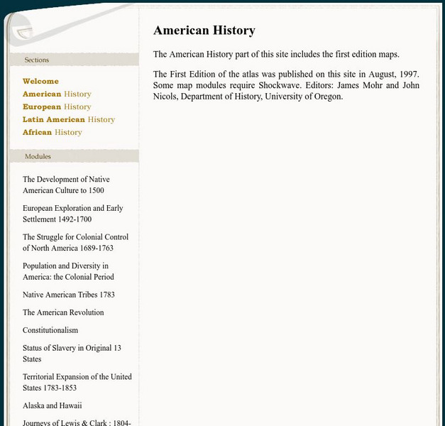
Mapping History: American History
Interactive and animated maps and timelines of historical events and time periods in American history from pre-European times until post-World War II.
Curated OER
Etc: First Defenses of the South During the American Civil War, 1860 1865
A map from 1920 of the Southeastern States showing the South's first line of defenses during the American Civil War (1861-1865). The map is color-coded to show the eastern Confederate States (indicating the States seceding before and...
University of Virginia
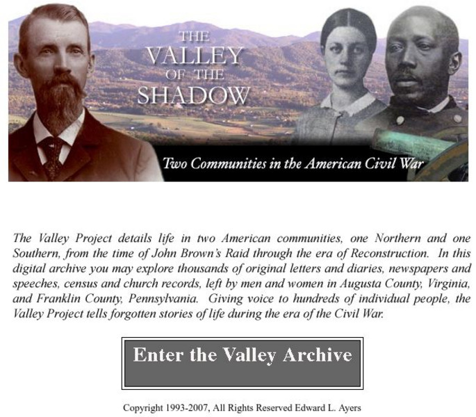
Virginia Center for Digital History: The Valley of the Shadow
This is a must-have site for the study of the Civil War. Students will have access to primary documents from many sources, including: census and veteran records, letters and diaries, newspapers, and church records. This Project explores...
University of Richmond
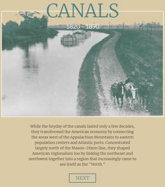
American Panorama: Canals: 1820 1860
Interactive map depicting the system of canals in the U.S. prior to the Civil War. Select by canal to see interesting details, a map and get a sense of goods traded and travel in antebellum America.
Library of Congress
Loc: American Treasures: A More Perfect Union: Gallery B
This is a large site from American Treasures covering primary source documents from the early 1800s through the Civil War and on to Western Expansion.
American Battlefield Trust
American Battlefield Trust: Working to Save America's Battlefields
This site is dedicated to saving American battlefields. It provides videos of Civil War battlefields including Bull Run and Manassas, animated Revolutionary War maps, and video of the life of Ulysses Grant.
University of Oregon
Mapping History Project: Slavery in the American South: 1790 1860
Watch this interactive map to see the spread and concentration of slavery in the South from 1790 to the eve of the Civil War Click on the map to begin. The timeline at the bottom indicates the year. Be sure to access the key. Shockwave...
University of Oregon
University of Oregon: Mapping History: Slave Crops in the American South: 1860
This very interesting map shows the crops grown by slaves on plantations in pre-Civil War South.
Curated OER
Etc: United States Civil War, 1861 1865
A map of the eastern United Stated during the American Civil War (1861-1865). The map is color-coded to show the Union States, and the Secession States of the Confederacy. The map shows major cities and towns, railroads, rivers, and...
Curated OER
Etc: The Civil War in the West, 1861 1865
A map of the Western seat of war during the American Civil War, showing state boundaries and capitals, major cities, forts, battle sites, mountain systems, and rivers in the area.
Curated OER
Etc: United States During the Civil War, 1861 1865
A map of the United Stated during the American Civil War (1861-1865) showing State and territory boundaries, with dates of statehood for the territories from 1796 to 1861. The map is color-coded to show the Union States, Confederate...
Curated OER
Etc: Post Civil War United States, 1865 1892
A map of the United States after the American Civil War showing political facts, boundaries, and conflicts regarding the post-Civil War reconstruction (1865-1892).
Curated OER
Educational Technology Clearinghouse: Maps Etc: Civil War, 1861 1865
A series of maps showing important campaigns and regions of the American Civil War (1861-1865). The maps show important cities and towns, railroads and campaign routes, terrain and coastal features, and rivers. The maps include (1)...
Digital Public Library of America
Dpla: Secession of the Southern States
This primary source set uses documents, illustrations, and maps to explore events and ideas that drove the formation of the Confederate States of America and the United States' descent into civil war. Includes a teacher's guide.
University of Virginia
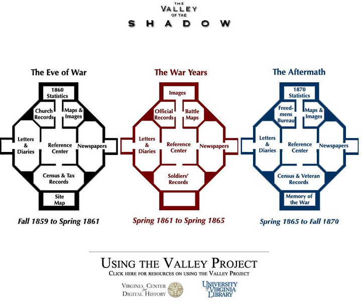
University of Virginia Library: The Valley of the Shadow
Analyze the Civil War through a multitude of primary source documents. This comprehensive site chronicles the Civil War in Virginia from its roots to the battles, and finally the consequences of this divisive war. Read letters and...
Curated OER
Etc: Maps Etc: War in the Southwest Red River Expedition, 1864
A map showing the operations of the American Civil War in the Southwest, including the Red River Expedition in 1864.
Curated OER
Etc: Maps Etc: Campaigns Around Perryville Kentucky, 1862
A map of the Kentucky and Tennessee region showing the western area of operations around Perryville, Kentucky, during the American Civil War (1862). The map shows state boundaries, major cities and towns, forts, and rivers in the area....


