Hi, what do you want to do?
Curated OER
Fort at No. 4 History
Students examine the history of Fort No. 4 in New Hampshire before visiting the site. They identify key events and people that occured at the fort as well. They complete questions and teach them to their group.
Curated OER
On the Trail with Lewis and Clark
Eighth graders use the Internet to conduct research on the Lewis and Clark journals and work cooperatively in planning and delivering a presentation.
Library of Congress
Loc: The Rochambeau Map Collection
A collection of the maps of North America, dating from 1717 to 1795. They were used by Jean Baptiste Donatien de Vimeur, the Comte de Rochambeau, when he was captain of the French forces during the American Revolution. Includes maps of...
Khan Academy
Khan Academy: Slavery in the British Colonies
A self-assessment of Slavery in the British Colonies using primary sources.
ClassFlow
Class Flow: 13 Colonies Map
[Free Registration/Login Required] This flipchart reviews the composition of the thirteen original colonies and asks students to identify the colonies on a map.
Library of Congress
Loc: American Colonization Society: Maps of Liberia 1830 1870
These maps, historical primary materials, show the early settlements in Liberia that were created by the American Colonization Society as they resettled free black Americans in West Africa. A timeline of the history of Liberia is included.
Stanford University
Sheg: Document Based History: Reading Like a Historian: Mapping the New World
[Free Registration/Login Required] Young scholars read primary source documents to solve a problem surrounding a historical question. This document-based inquiry activity allows students study two 17th-century maps of Virginia and think...
Curated OER
Educational Technology Clearinghouse: Maps Etc: North American Colonies, 1643
A map of the North American Colonies in 1643 at the establishment of the New England Confederation. The map is color-coded to show the territorial claims of the British, French, Dutch, and Swedish at the time, and shows the British...
Curated OER
Educational Technology Clearinghouse: Maps Etc: North American Colonies, 1783
A map of eastern North America in 1783 at the end of the American Revolutionary War, showing the territory of the newly formed United States as proposed by the Treaty of Paris, the Canadian border extending to the Ohio River proposed by...
Library of Congress
Loc: Teachers: Geography and Its Impact on Colonial Life
Beginning with a discussion on how people adapt to or relocate to environments, this lesson encourages young scholars to explore why the Colonists settled in specific regions. In groups, students examine primary documents, analyzing...
Other
Hillcrest: England and Its Colonies [Pdf]
A textbook chapter about England and its relationship to its American colonies. Included are maps and map questions, study help, and assessments.
University of Groningen
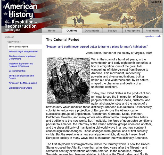
American History: Outlines: The Colonial Period
The early settlers to the New World began to map strategy for their own system of government. This site details that strategy and what kinds of events spawned the idea of representative government.
Curated OER
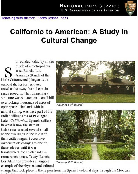
National Park Service: Californio to American: A Study in Cultural Change
This site has a lesson about the ranching industry, creation of California towns and the changes over time. Contains information, inquiry question, historical context, maps, readings, and images.
National Humanities Center
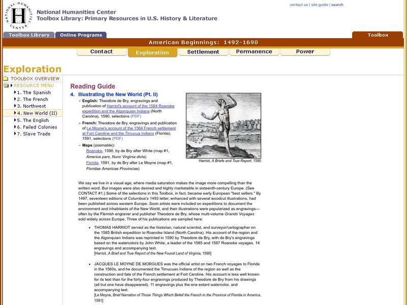
National Humanities Center: Toolbox Library: New World: Part Ii, American Beginnings: 1492 1690
Two European maps of Florida and Roanoke, and a British and a French account-with associated engravings of these settlements-that promote a European interpretation of and claim over these areas.
National Humanities Center
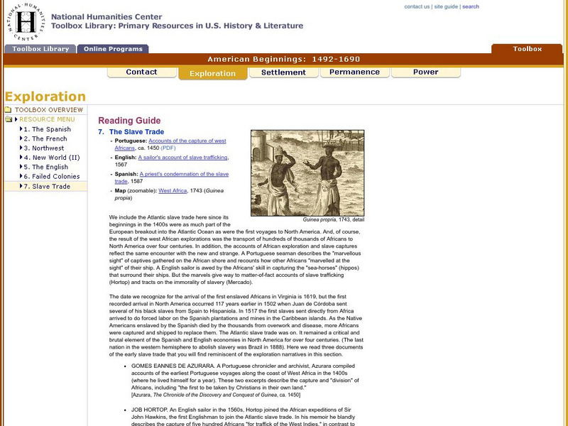
National Humanities Center: Toolbox Library: Slave Trade, American Beginnings: 1492 1690
A West African map and three accounts of the development of slave acquisition display the process and the brutality of the Atlantic slave trade.
National Humanities Center
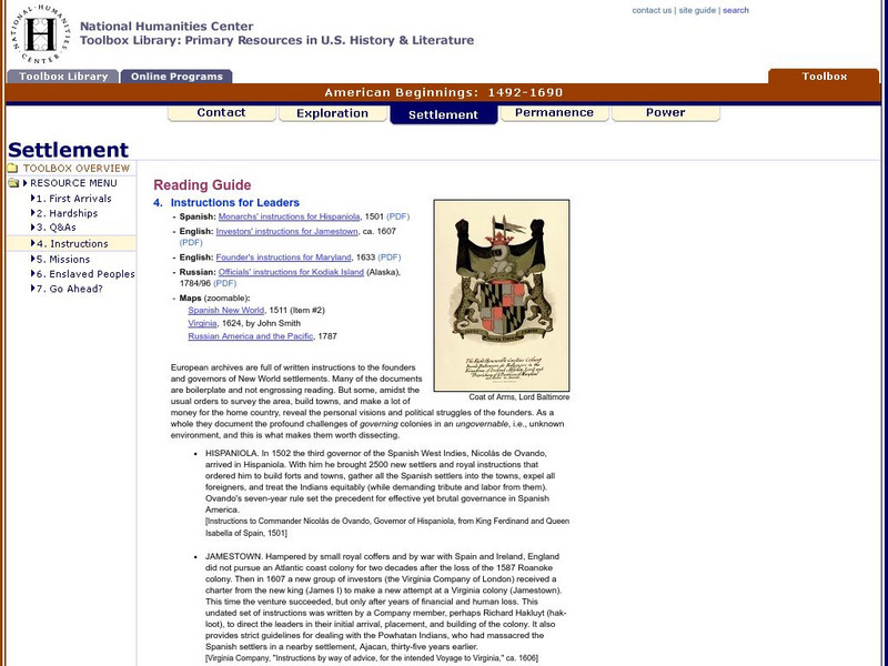
National Humanities Center: Toolbox Library: Instructions, American Beginnings: 1492 1690
Three maps of European settlement in Virginia, the Pacific Northwest, and the Spanish New World, and the accompanying official instructions from lenders and monarchs about the obligations, opportunities, and hopes that those...
National Humanities Center
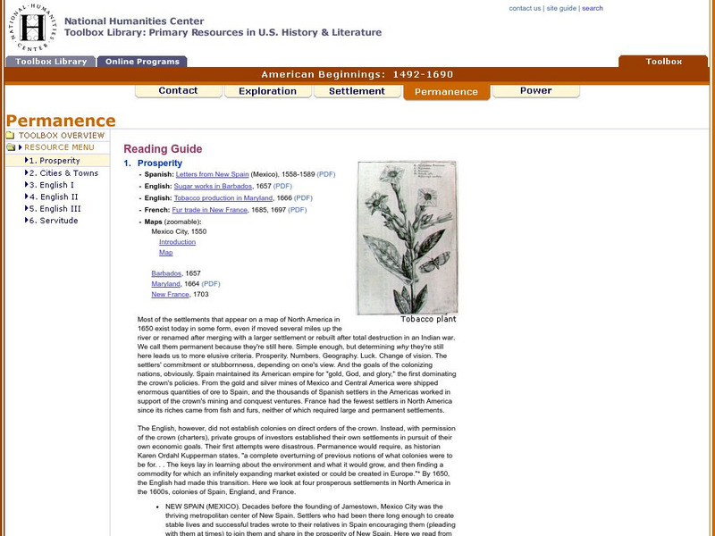
National Humanities Center: Toolbox Library: Prosperity, American Beginnings: 1492 1690
Four original source accounts, and four related maps, of successful English, French, and Spanish settlements in North America and the Caribbean that explain the qualities of these settlements and their reasons for permanence and prosperity.
George Mason University
Chnm: Differences Among Colonial Regions
Learners will explore the differences among the three colonial regions of New England, Mid-Atlantic/Middle, and the Southern colonies. In small groups for each region, students will observe and note details of pictures, maps, and...
Curated OER
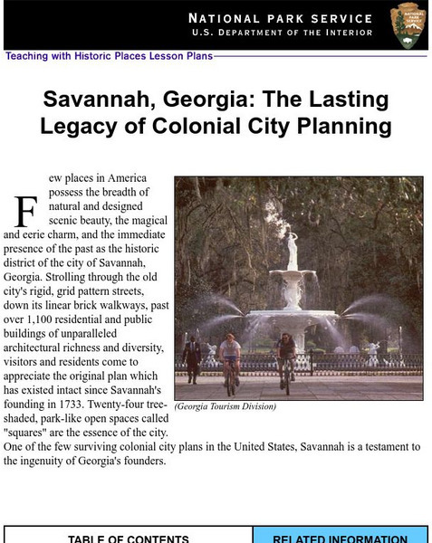
National Park Service: Savannah, Ga: Lasting Legacy of Colonial City Planning
The site explores the colonial history of the city of Savannah, Georgia. This interactive lesson has excellent information, an inquiry question, historical context, maps, readings, images, and activities.
Library of Congress
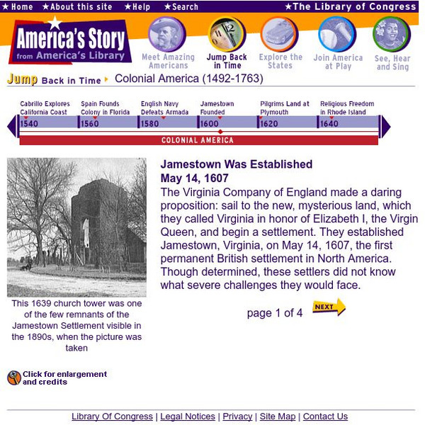
Loc: America's Story: Jamestown
The Library of Congress chronicles the Virginia Company and their settlement of Jamestown, in this fascinating site. Provides photos of the charter, a map drawn by John Smith, and a church tower from the colony.
Other
The Loyalist Parkway Your Route Through History
The Loyalist Parkway, opened in 1984 traces the route of Loyalist settlement in Canada beginning in 1784, following the American Revolution. This interactive map provides information on the parkway, it's plaques, and parks. Links to...
ClassFlow
Class Flow: The 13 Colonies
[Free Registration/Login Required] This flipchart provides an overview of the original 13 colonies, including information about the individual colonies, fun facts, an interactive quiz and maps.
PBS
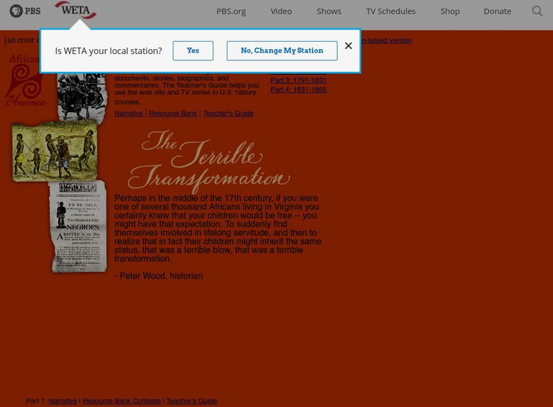
Pbs: Africans in America
PBS offers a four-part series on the plight of African Americans from slave days to the end of the Civil War. Resources such as interactive maps, a Resource Bank, and Teacher's Guide are available.
Khan Academy
Khan Academy: Colonial Society and Culture the Great Awakening
An overview of the Great Awakening and how the Protestant Revivalism effected England and the American colonies during the eighteenth century.


