Centers for Disease Control and Prevention
Current Cigarette Smoking Among Adults Infographic
Adult cigarette smoking has decreased in recent years, but it is still the number one cause of preventable disease and death in America. An infographic breaks cigarette smoking down by education level, geographical region, gender, race,...
Smithsonian Institution
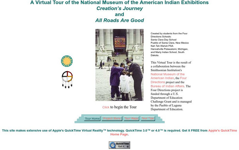
National Museum of the American Indian: Creation's Journey
A virtual tour of two exhibits that were created for the National Museum of the American Indian but students from four American Indian schools. The exhibits display a wide variety of American Indian artifacts with descriptions of each...
Northwestern University
American Memory: Edward S. Curtis's North American Indian: Photographic Images
Find Native American tribes grouped by geographic location as well as relevant information and pictures.
Other
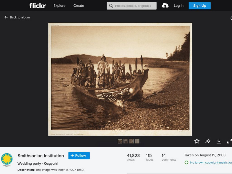
Smithsonian Institution: North American Indian Photography of Edward Curtis
A collection of 22 historical photographs showing Native Americans taken by renowned photographer Edward Curtis. The images show how Native Americans lived and dressed in scenes such as a wedding party, a ritual dance, gathering food, etc.
University of Arizona
Avery Collection of American Indian Art: Shonto Begay
A biography with a few images from Native American Artist Shonto Begay. The images are from the Avery collection and there are links to Begay's website and other American Indian Art.
Smithsonian Institution
National Museum of the American Indian: Infinity of Nations
Exhibtion of artwork and artifacts from geographic regions across the Americas highlights the historic significance and diversity of material culture produced by Native Americans, past to present. With examples of textiles, ceramics,...
Other
Tn Gen Web Project: Indian Land Cessions in the American Southeast
Detailed maps of Indian land cessions of the Indians in the Southeast.
Smithsonian Institution
National Museum of the American Indian: Memory and Imagination, Frank Day
This resource explores the life and works of Maidu Indian artist, Frank Day. Read brief biographical details and view images with descriptions of his most famous works.
Tom Richey
Tom richey.net: Native American Cultures 1491 1607 [Ppt]
Presents key ideas for examining the cultures of Native American tribes that lived in North America in early colonial times. Discusses the major groups, the way of life of each group, and where they lived.
Other
Denver Post P Log: Wounded Knee, 1890 1973 in Photos
Fifty-seven photos that document the painful history of Wounded Knee from just before the massacre in 1891 up to its occupation in 1973 by the American Indian Movement. Some of the battle images are quite graphic and should be previewed...
Library of Congress
Loc: Million Native American March, June 27, 2003
A collection of twenty photographs from the Million Native American March that took place in Washington, D.C. on June 27, 2003. Shows the many clothing and regalia styles of different Native American groups.
Virginia History Series
Virginia History Series: Indians of Virginia [Pdf]
Amazing visual presentation about the history of Indians in Virginia. included in this comprehensive slideshow are startling pictures and maps tracing the Native American culture from prehistoric times through the 1600's.
Other
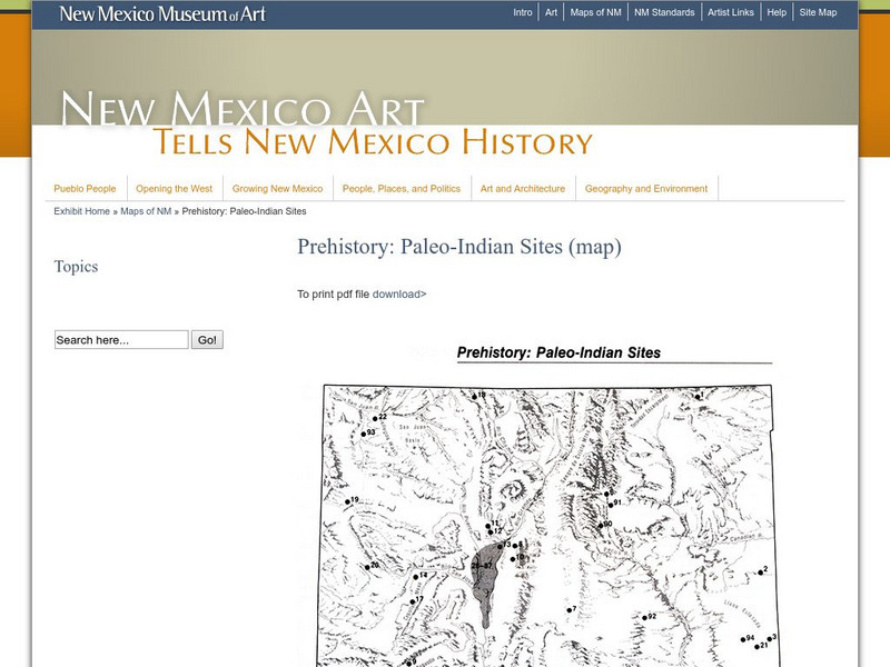
New Mexico Museum of Art: Prehistory: Paleo Indian Sites
Download a great map of New Mexico showing the Paleo-Indian sites from 10,000 B.C. to 5,500 BC. [pdf]
University of Texas at Austin
University of Texas: Map of Early Indian Tribes in Eastern u.s.
A map of the land inhabited by Indian tribes in the eastern part of the United States before European settlement. Map shows linguistic stocks as well as culture areas, major, and minor tribes.
Smithsonian Institution
Smithsonian American Art Museum: George Catlin's Indian Gallery
The Smithsonian offers 32 of Catlin's Indian Gallery paintings online. Catlin visited 50 tribes living west of the Mississippi from 1830 to 1836.
Curated OER
Etc: Maps Etc: The American Indian Nations, 1776
An early map of the southeastern North America around 1776, showing the American Indian Nations of the region at the time. The map shows colonial boundaries extending from the Atlantic coast to the Mississippi River, towns, forts, and...
Curated OER
A View on Cities: Washington: National Museum of the American Indian
National Museum of the American Indian (Washington)
Curated OER
A View on Cities: Washington: National Museum of the American Indian
National Museum of the American Indian (Washington)
Curated OER
A View on Cities: Washington: National Museum of the American Indian
National Museum of the American Indian (Washington)
Other
Lehigh University Digital Library: Pocahontas Archive Images
Offers an expansive image gallery of famous Native American Indian woman Pocahontas.
Other
Ethnological Museum: Native Americans of California
Part of a larger exhibition about Native Americans, this page gives visitors an up-close look at several objects produced by the Hupa, the Chumash, and the Pomo, Native Americans of California. The objects demonstrate their...
Library of Congress
Loc: American Revolution and Its Era: Maps & Charts
A few maps and some good text on the topography and its importance during both the American Revolution and the French and Indian War.
PBS
Pbs: Indian Territory
This site from PBS provides a short description and map of "the Indian Territory set aside by the Indian Removal Act of 1830 and the areas designated for each tribe."
Curated OER
Etc: Maps Etc: Distribution of American Indians, 1500
A map from 1920 of North America central Canada to northern Mexico showing the distribution and territories of the Native Americans around 1500. The boundaries are based on linguistic stock and not tribal territories. The map was...
Other popular searches
- Native American Indians
- American Indians Lesson Plans
- U.s. American Indians
- Coastal American Indians
- Art Native American Indians
- American Indians of Virginia
- North American Indians
- First American Indians
- American Indians in Utah
- American Indians Utah
- American Indians Totem Poles
- Native American Indians Nj


