Hi, what do you want to do?
Internet History Sourcebooks Project
Fordham University: Modern History Sourcebook
A rich Fordham University site of primary source material that include full-text, and multimedia sites. There are additional study and research guides such as Modern History in the Movies.
Curated OER
National Park Service: Colonial National Historical Park: Siege of Yorktown
This site provides a history of the Siege of Yorktown in 1781.
Pennsylvania Historical and Museum Comission
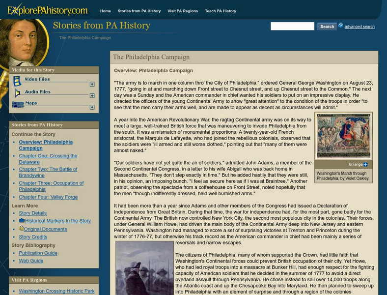
Explore Pa History: The Philadelphia Campaign Brandywine
Learn about the people and events surrounding the Battle of Brandywine in this detailed account of Pennsylvania history. Included in this site are links to audio and pictorial images of this era.
PBS
Pbs Africans in America: The Boston Massacre
From its series entitled "Africans in America," PBS offers a comprehensive overview of the Boston Massacre from the viewpoint of the poor, the oppressed, and enslaved or free Africans. The article highlights how these individuals were...
Quia
Quia: Battles of the Revolution
Flashcards, matching, and concentration games test your knowledge of the battles of the Revolutionary War.
Houghton Mifflin Harcourt
Harcourt: Biographies: Paul Revere: (Spanish)
Paul Revere was a great patriot on horseback, but he did much more than that in the Revolutionary War. This resource uses popups for the photos. (In Spanish)
Quia
Quia: Road to Revolution
Assess your knowledge of the Revolutionary War by putting these events in the correct chronological order before running out of attempts.
Siteseen
Siteseen: Land of the Brave: Battle of Lexington
Article on the Battle of Lexington provides facts and information about this conflict between the British and American forces that started the Revolutionary War.
Raleigh Charter High School
Mrs. Newmark's Page: Quiz on the Road to Revolution
Seventeen question multiple-choice exercise checks your understanding of the Revolutionary War.
Raleigh Charter High School
Mrs. Newmark's Page: Quiz on Important People on the Road to Revolution
Matching exercise is self-scored and checks your understanding of important people of the Revolutionary War.
Quia
Quia: The Road to Revolution
Score points by answering questions correctly in this Jeopardy like game that reviews key concepts pertaining to the Revolutionary War.
Siteseen
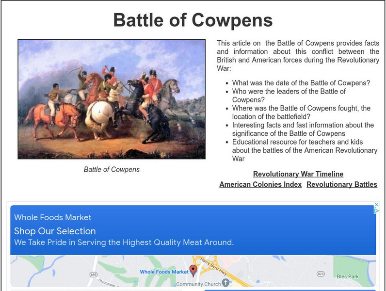
Siteseen: Land of the Brave: Battle of Cowpens
Learn about this Revolutionary War battle that took place January 17, 1781, between Great Britain and its thirteen colonies in North America that ended in a long-term victory for the American colonists.
Siteseen
Siteseen: Land of the Brave: Battle of Bennington
Learn about this Revolutionary War battle that took place August 16, 1777, between Great Britain and its thirteen colonies in North America that ended in victory for the American Colonists.
Siteseen
Siteseen: Land of the Brave: Battle of Trenton
Learn about the Battle of Trenton the December 26, 1776 Revolutionary War battle between Great Britain and its thirteen colonies in North America that ended in victory for the American colonists.
Siteseen
Siteseen: Land of the Brave: Battle of Concord
Learn about this Revolutionary War battle that took place April 19, 1775, between Great Britain and its thirteen colonies in North America that ended in a victory for the American colonists.
Siteseen
Siteseen: Land of the Brave: Battle of Princeton
Learn about this Revolutionary War battle that took place January 03, 1777, between Great Britain and its thirteen colonies in North America that ended in a victory for the American colonists.
Siteseen
Siteseen: Land of the Brave: Battle of Fort Ticonderoga
Learn about this Revolutionary War battle that took place May 10, 1775, between Great Britain and its thirteen colonies in North America that ended in a victory for the American colonists.
Siteseen
Siteseen: Land of the Brave: Battle of King's Mountain
Learn about this Revolutionary War battle that took place October 07, 1780, between Great Britain and its thirteen colonies in North America that ended in a victory for the American colonists.
Library of Congress
Loc: Biographical Directory of the u.s. Congress: Alexander Mc Dougall
This site from the U.S. Congress provides a short biography of Alexander McDougall, a member of the Continental Congress who fought in the Revolutionary War.
Siteseen
Siteseen: Land of the Brave: Battle of Brandywine
Learn about this Revolutionary War battle that took place September 11, 1777, between Great Britain and its thirteen colonies in North America that ended in victory for the British.
Siteseen
Siteseen: Land of the Brave: Battle of Camden
Learn about this Revolutionary War battle that took place August 16, 1780, between Great Britain and its thirteen colonies in North America that ended in victory for the British.
Siteseen
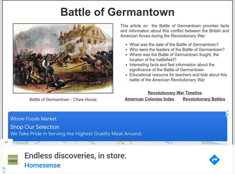
Siteseen: Land of the Brave: Battle of Germantown
Learn about the Battle of Germantown, the October 04, 1777, Revolutionary War battle between Great Britain and its thirteen colonies in North America that ended in victory for the British.
Siteseen
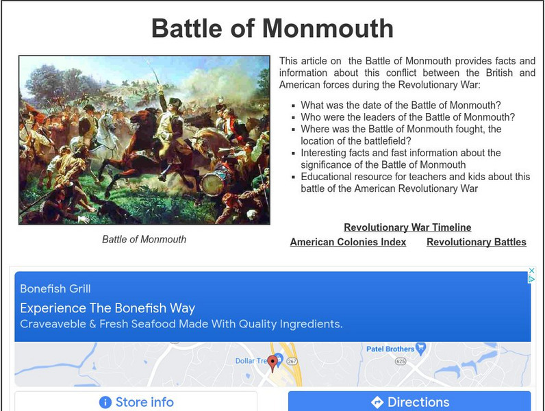
Siteseen: Land of the Brave: Battle of Monmouth
Learn about this Revolutionary War battle that took place June 28, 1778, between Great Britain and its thirteen colonies in North America that ended in a long-term victory for the British.
Siteseen
Siteseen: Land of the Brave: Battle of Bunker Hill
Learn about this Revolutionary War battle that took place June 17, 1775, between Great Britain and its thirteen colonies in North America that ended in a victory for the British.


