Hi, what do you want to do?
Siteseen
Siteseen: Land of the Brave: Battle of Oriskany
Learn about this Revolutionary War battle that took place August 06, 1777, between Great Britain and its thirteen colonies in North America that ended in a victory for the British.
Siteseen
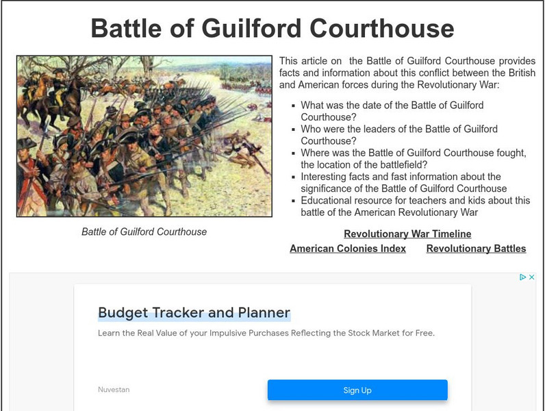
Siteseen: Land of the Brave: Battle of Guilford Courthouse
Learn about this Revolutionary War battle that took place March 15, 1781, between Great Britain and its thirteen colonies in North America that ended in a victory for the British.
Library of Congress
Loc: Nathanael Greene Was Born
A note on Nathanael Greene, a friend of George Washington's and a Revolutionary War hero.
Digital History
Digital History: The Critical Period: Introduction
The years immediately following the end of the Revolutionary War were fraught with problems both domestically and in foreign affairs. There were also accomplishments in the expansion of the economy. Read about the problems and why...
Walled Lake Consolidated Schools
Loon Lake Elementary: The Road to Revolution
A concise summary of the events that lead to the American Revolution. Illustrations help students visualize as they learn about this historical event.
ClassFlow
Class Flow: Paul Revere: Messenger for Liberty
[Free Registration/Login Required] This flipchart covers the life of Paul Revere, his accomplishments, and his contributions to America's freedom. It identifies how Paul Revere's environment and personal characteristics contributed to...
Siteseen
Siteseen: Land of the Brave: Thomas Gage
Overview and biographical facts on the life of Thomas Gage, British leader and military commander in the early days of the American Revolution.
Siteseen
Siteseen: Land of the Brave: Crispus Attucks
Overview and biographical facts on the life of Crispus Attucks, the first martyr of the American Revolution falling during the Boston Massacre.
Other
Our American Revolution: Revolutionary Faiths
Read about how religious belief shaped ideas in colonial America. There is the tug between faith and reason, freedom of religion, and politics and religion.
Independence Hall Association
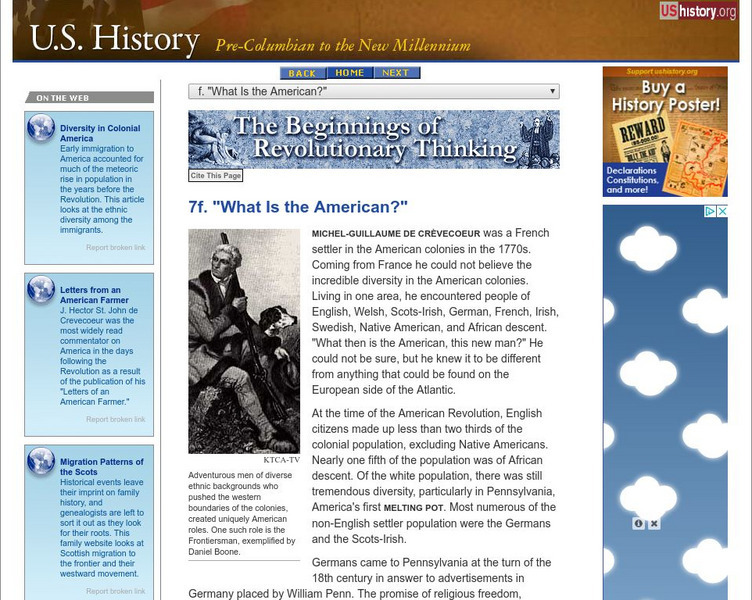
U.s. History: Beginnings of Revolutionary Thinking: What Is the American?
Even colonial America was a melting pot of people from far away. Read about the diversity of the population and why it had an effect on the possibility of rebellion and revolution.
Danuta Bois
Distinguished Women of Past and Present: Deborah Sampson
This Website contains a short biography of Deborah Sampson. Content includes a bibliography as well.
Wikimedia
Wikipedia: Treaty of Paris (1783)
Detailed information about the Treaty of Paris of 1783. Contains links to different resources as well as details of the Treaty itself and how the Treaty affected the relations between Great Britain and the United States.
Varsity Tutors
Varsity Tutors: Archiving Early America: The Battle of King's Mountain
An exciting account of the stirring events of the battle between Loyalists and Patriot backwoodsmen at the Battle of King's Mountain in October 1780.
ClassFlow
Class Flow: Patriots vs Loyalists
[Free Registration/Login Required] This flipchart covers everything from The Boston Massacre to the Boston Tea Party and even more. It also provides an assessment.
National Humanities Center
National Humanities Center: Teacher Serve: Three Worlds, Three Views
Essay examining the cultural and environmental changes spanning 300 years in the pre-Revolutionary South as three worlds, Native American, European, and African collide. Site includes guiding questions for student discussion and scholars...
Yale University
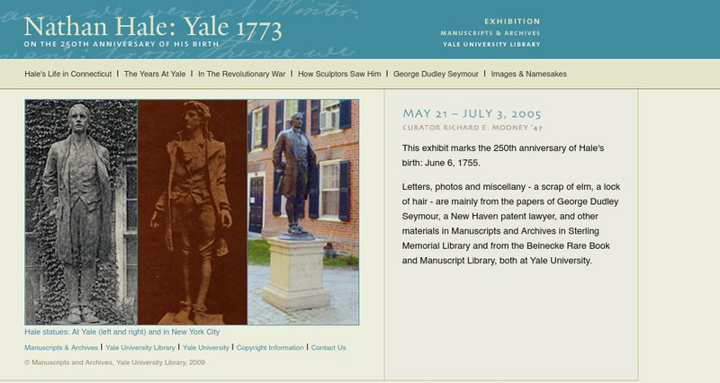
Yale University Library: Nathan Hale: Yale 1773
Biographical portrait of Nathan Hale, Revolutionary War officer who was hanged by the British as a spy, with chapters on his years as a student at Yale University and on his service to country during the American Revolution.
Library of Congress
Loc: Continental Congress and the Constitutional Convention
This site provides a collection of material regarding the work of the Continental Congress and the Constitutional Convention. Content includes a focus on how the Revolutionary War was organized, fanning the flames of patriotism,...
Center For Civic Education
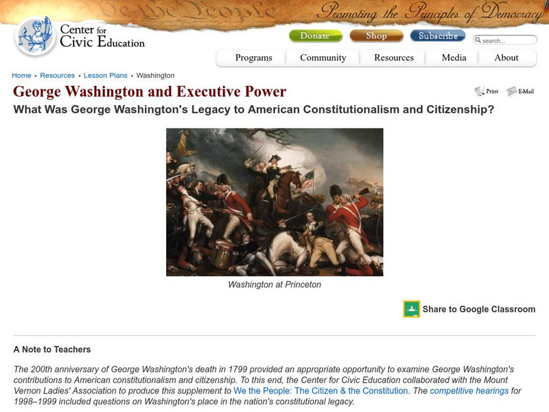
Center for Civic Education: George Washington and Executive Power
This lesson looks at the legacy of George Washington, perhaps the most influential leader in the creation of the American nation. Through his achievements as commander-in-chief during the Revolution, in support of the drafting and...
Curated OER
Educational Technology Clearinghouse: Clip Art Etc: Ethan Allen
(1738-1789) An early American revolutionary and guerilla leader during the Vermont Republic, New Hampshire Grants, and the American Revolutionary War.
Curated OER
Educational Technology Clearinghouse: Clip Art Etc: Ethan Allen
Ethan Allen was an early American revolutionary and guerilla leader who fought against the settlement of Vermont, and later for its independence during the American Revolutionary War.
Curated OER
Wikipedia: National Historic Landmarks in Massachusetts: Hancock Clarke House
This 1737 house was the boyhood home of Revolutionary leader John Hancock, and was where he and Samuel Adams hid from British authorities at the outbreak of the American Revolutionary War.
Curated OER
Etc: Battle of Long Island, 1775 1776
A plan of the Battle of Long Island (August 27, 1776), also known as the Battle of Brooklyn, fought between the British army under General Howe and the Americans under George Washington during the American Revolutionary War. The map...
Curated OER
Educational Technology Clearinghouse: Maps Etc: Battle of Long Island, 1776
A plan of the Battle of Long Island (August 27, 1776), also known as the Battle of Brooklyn, fought between the British army under General Howe and the Americans under George Washington during the American Revolutionary War. The map...
Curated OER
Educational Technology Clearinghouse: Maps Etc: Battle of Freemans Farm, 1777
A plan of the Battle of Freeman's Farm (September 19, 1777), also known as the First Saratoga, fought between the British army under John Burgoyne and the Americans under Horatio Gates and Benedict Arnold during the American...


