Hi, what do you want to do?
Curated OER
The American West-Knowledge Test
In this American West instructional activity, students complete a 24 questions test about the American West. Answers are included beneath questions on instructional activity.
Curated OER
A New Profession Takes Seed
High schoolers analyze a quote written on the board by John Muir. They brainstorm ideas from the quote and discuss the interpretation of the quote and answer questions regarding the Forest Service as a Profession.
Other
Alaska History and Cultural Studies: America's Territory
The discovery of gold in Alaska set the stage for its later settlement by people from many places who came to seek their fortunes. Subsequent transportation of people and goods by water and overland are described, as well as the...
Annenberg Foundation
Annenberg Learner: America's History in the Making: Contested Territories
This site highlights the westward expansion of settlers in North America and the effects this expansion had on Native Americans between the Revolutionary and Civil Wars.
CPALMS
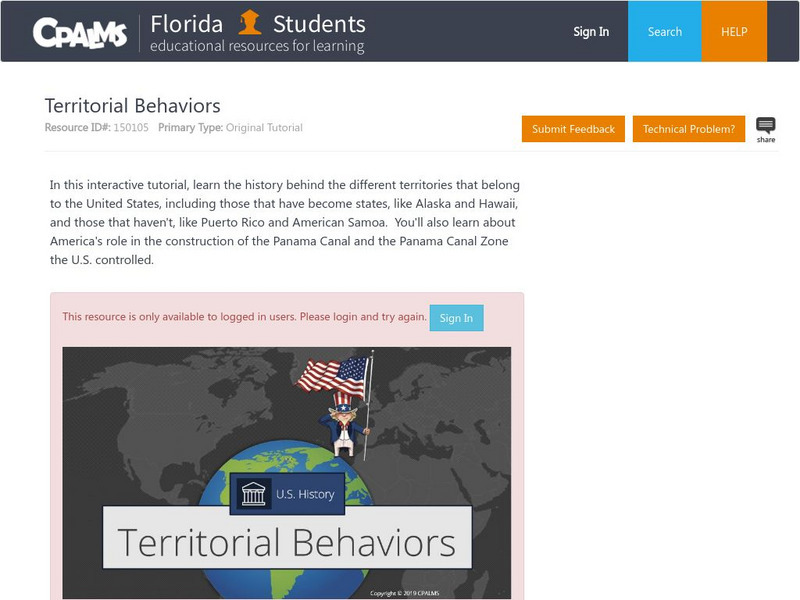
Florida State University Cpalms: Florida Students: Territorial Behaviors
In this tutorial, students learn about the history of American acquisition of new territories including those that became states and those in other parts of the world. America's involvement with the Panama Canal is also covered. A PDF...
Digital Public Library of America
Dpla: Staking Claims: The Gold Rush in Nineteenth Century America
This exhibition explores the Gold Rush, a group of related gold rushes to Western territories in the second half of the nineteenth century, and its impact on American history and culture.
University of Groningen
American History: Essays: Spain's Territorial Conquest in the Americas
The history of Spanish territorial conquest in the New World is the history of the succession of conquistadors who often overwhelmed native empires, but were sometimes overwhelmed themselves. Read about the conquistadors who came to the...
Khan Academy
Khan Academy: Introduction to the Spanish Viceroyalties in the Americas
When the Spanish Crown (the monarchy) learned of the promise of wealth offered by vast continents that had been previously unknown to Europeans, they sent forces to colonize the land, convert the indigenous populations, and extract...
Library of Congress
Loc: America's Story: Arizona Became a New Territory
This 2-page article provides information about how Arizona became a new territory on February 24, 1863, and the corresponding silver and gold rush that encompassed the area.
Other
Confederate War Department: Secession of the Southern States and Territories
A table listing the fifteen states and territories that became part of the Confederacy, along with their dates of secession ordinance passage and admission into the Confederate States of America. Each state name links to a transcription...
Library of Congress
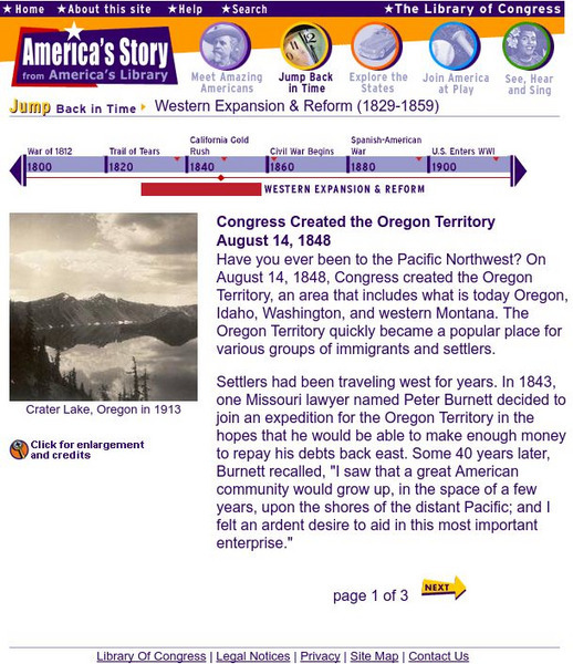
Loc: Merica's Story: Oregon Territory
Read about the settling of Oregon country and how westward expansion prompted Congress to make it a territory.
Read Works
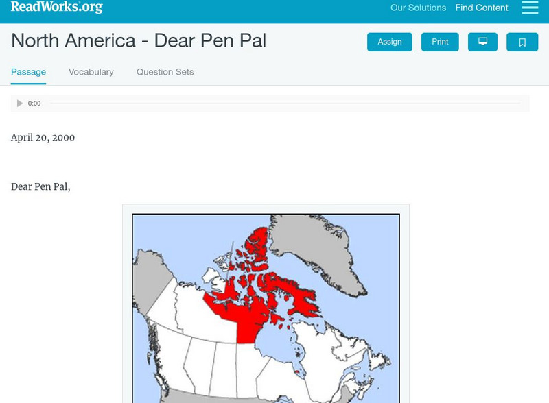
Read Works: North America Dear Pen Pal
[Free Registration/Login Required] A letter from Sara Makpah who lives in Canada to her pen pal living in New York City. A question sheet is available to help students build skills in reading comprehension.
University of Michigan
Making of America: Kanzas and Nebraska
This University of Michigan site provides the full text of "Kanzas and Nebraska," written by Edward Everett Hale. The book gives the history, geographical, and physical characteristics of these territories, as well as an account of the...
BBC
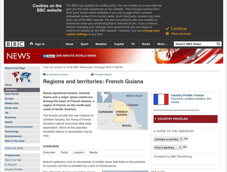
Bbc: News: Regions and Territories: French Guiana
The BBC presents an overview of facts on the South American region of French Guiana. Discusses its leaders, the media, and has a link to the weather there.
Library of Congress
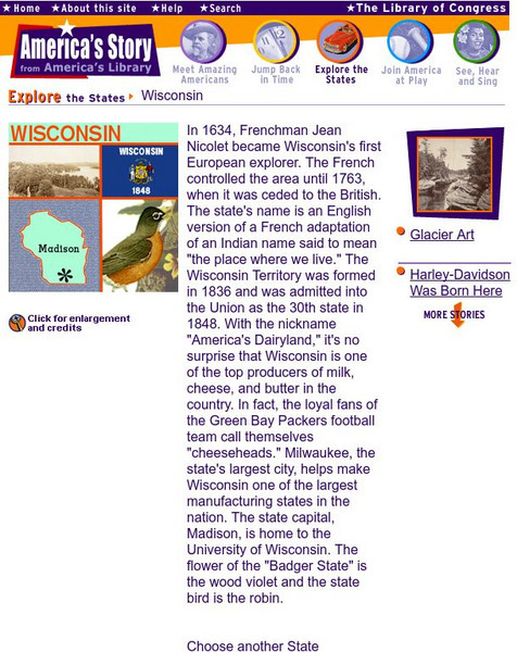
Loc: America's Story: Wisconsin
Why does Wisconsin have the nickname, "America's Dairyland"? Come and check out the traditions of this great state.
National Humanities Center
National Humanities Center: Toolbox Library: New Frontier, the Gilded and the Gritty: America, 1870 1912
A speech and an essay that alternately praise the acquisition of foreign territory by the U.S. and that raise questions about the costs and value of these imperialistic adventures.
National Humanities Center
National Humanities Center: Toolbox Library: America, 1789 1820: The Northwest Ordinance, 1787
The National Humanities Center presents collections of primary resources compatible with the Common Core State Standards historical documents, literary texts, and works of art thematically organized with notes and discussion questions....
Library of Congress
Loc: America's Story: Minnesota
America's Story features fun facts about Minnesota, such as how Minnesota's nickname and interesting places such as Anoka, the Halloween Capital of the world and important cultural happenings like the Spam Festival.
National Humanities Center
National Humanities Center: Toolbox Library: Charles Sellers: Triumph of Nationalism: America, 1815 1850
A secondary account from a contemporary historian that examines early nineteenth century forces and the interplay of markets and territorial expansion.
National Humanities Center
National Humanities Center: Toolbox Library: Lewis Cass: Triumph of Nationalism: America, 1815 1850
An argument by the Michigan Territorial governor, Lewis Cass, that claimed state laws superseded the rights claimed by Native American tribes like the Cherokee.
Legends of America
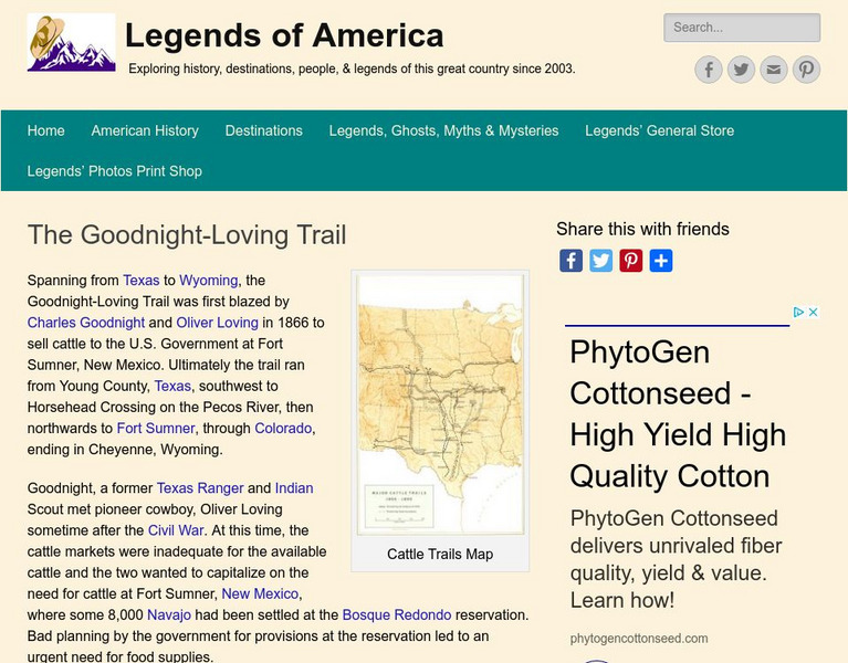
Legends of America: The Goodnight Loving Trail
Named after Charles Goodnight, the Goodnight-Loving Trail spanned more than 2000 miles. Trace the history of the trail and the cattle drives that made their way across the dangerous territory in the 1800s.
PBS
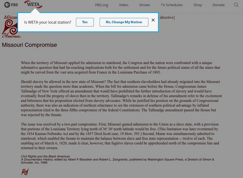
Africans in America: Missouri Compromise
This PBS site offers information about the compromise that settled the question of whether slavery would be allowed in the vast area acquired from France in the Louisiana Purchase of 1803.
University of Georgia
University of Georgia: A Map of United States of America (1827)
A large and surprisingly accurate map from 1827 of the U.S. States and Territories at the time. Clearly shows borders of states and territories as known at the time.
University of Georgia
University of Georgia: The United States of North America in 1796
A large map from 1796 of the U.S. States and Territories at the time.


