Hi, what do you want to do?
Curated OER
Educational Technology Clearinghouse: Maps Etc: North America, 1689
A map of North America, Central America, and the West Indies in 1689 at the beginning of the King William's War (1689-1697), the first of the French and Indian Wars. The map is color-coded to show the claims of the English, French, and...
Curated OER
Educational Technology Clearinghouse: Maps Etc: Central America, 1861
A French map from 1861 of the Yucatan Peninsula and Central America showing the territories of native groups, the sites of ancient ruins, terrain, lakes, rivers, and coastal features of the region.
Curated OER
Educational Technology Clearinghouse: Maps Etc: United States of America, 1783
Eastern North America shortly after the American Revolution, showing territory held by the United States, Britain, and Spain.
Curated OER
Etc: European Colonization in North America, 1500 1700
A map of North America showing the European colonization in the region up to the year 1700. The map is color-coded to show the possessions of the British, French, Spanish, Dutch, Swedish, and Danish. The map shows the territory in...
Curated OER
Etc: Maps Etc: Early Possessions in Eastern North America, 1740
A map of eastern North America, Gulf of Mexico, and western Caribbean showing the European possessions and territorial claims in the region in 1740. The map is color-coded to show the French, Spanish, and British possessions at the time....
Curated OER
Etc: Maps Etc: Mexico, Central America and the West Indies, 1852
A map from 1852 of Mexico, Central America, and the West Indies. The map shows territorial boundaries at the time, including the Mexican States, capitals and major cities and ports, railroads, rivers, lakes, mountain systems, and terrain...
Curated OER
Educational Technology Clearinghouse: Maps Etc: Northern South America, 1920
A map from 1920 showing the northern part of South America, including the national borders at the time for Columbia, Venezuela, the Guianas, Ecuador, Peru, Bolivia, and the northern portions of Brazil, Argentina, and Paraguay. The map...
Curated OER
Educational Technology Clearinghouse: Maps Etc: Southern South America, 1920
A map from 1920 of the southern part of South America from Sao Paulo on the Atlantic and Iquique on the Pacific south to Tierra del Fuego. The map shows the political boundaries at the time for Argentina, Paraguay, Uruguay, and the...
Curated OER
Educational Technology Clearinghouse: Maps Etc: Northwestern South America, 1861
A map of northwestern South America from the French scientific explorations of the area in 1861. The map shows the Pacific coastal region of New Granada (Columbia), Ecuador, Peru, and the northern portion of Bolivia near Lake Titicaca....
Curated OER
Etc: Maps Etc: South America (Southern Part), 1920
A map from 1920 of the southern part of South America from Sao Paulo on the Atlantic and Iquique on the Pacific south to Tierra del Fuego. The map shows the political boundaries at the time for Argentina, Paraguay, Uruguay, and the...
Curated OER
Etc: Maps Etc: South America Political Formation, 1911
A map from 1911 of South America showing the political boundaries of the time, major cities, terrain, rivers, and coastal features. The map is color-coded to show the Spanish, Portuguese, Dutch, and French possessions about the end of...
Curated OER
Etc: The Disputed Territory French and Indian War, 1754 1763
The disputed territory of the United States.
Curated OER
The Present Territory of the United States as Claimed by European Powers, 1749
A map of the present territory of the United States as claimed by the French, English, and Spanish in 1749.
Curated OER
Educational Technology Clearinghouse: Maps Etc: North America, 1920
A map from 1920 of North America showing territory borders, capitals, state capitals, major cities and ports, railways, submarine cable routes, mountain systems, lakes, rivers, and coastal features. An inset map details the Caribbean...
Curated OER
Etc: Disposition of Amer Territory Proposed by Vergennes, 1781 1782
The division of North American territories as proposed by the French Count of Vergennes.
Curated OER
Etc: Maps Etc: Territory of the Present United States After February 10, 1763
The territory of the (then-) present United States after February 10, 1763, color-coded to distinguish various claims to United States.
Curated OER
Etc: Maps Etc: Territory of the Present United States After September 3, 1783
The territory of the (then-) present United States after September 3, 1783, color-coded to distinguish various claims to United States.
Curated OER
Educational Technology Clearinghouse: Maps Etc: South America, 1910
A map of South America in 1910 showing the political boundaries of the time. The map is color-coded to distinguish between states, and shows the territorial dispute along the Columbian and Ecuadorian frontier in 1910. The map shows...
University of Georgia
University of Georgia: Map of Southern States of America 1795
A large and detailed map of the southern U.S. States and territories to the immediate west. Indicates rivers, the Appalachian Mountains and latitude and longitude.
iCivics
I Civics: We're Free... Let's Grow!
Students explore the challenges the nation faced when it acquired the Northwest Territory, including America's doubling in geographical size and how the new territory was to be added to the U.S.
A&E Television
History.com: Native American History Timeline
Before Christopher Columbus came to America, the expansive territory was inhabited by Native Americans. Throughout the 16th and 17th centuries, as more explorers sought to colonize their land, Native Americans responded in various...
Library of Congress
Loc: Panoramic Photographs
Enjoy this collection of over 4,000 panoramic photographs of America from 1851-1991. Each of the 50 states is represented as well as several foreign countries and U.S. territories. Highlights of the collection include disasters, sports,...
Other
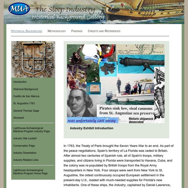
Museum of Underwater Archaeology: The Sloop Industry
Learn about the cost of maintaining a maritime empire in America by considering the wreck of the British sloop Industry, which sank off the coast of Saint Augustine in 1764. The loss of the ship along with her cargo demonstrates that...
Other
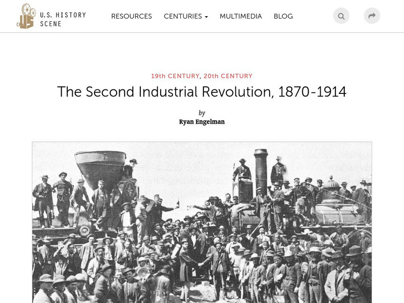
U.s. History Scene: The Second Industrial Revolution, 1870 1914
Between 1820 and 1860, the visual map of the United States was transformed by unprecedented urbanization and rapid territorial expansion, facilitated by the railroad system. These changes mutually fueled the Second Industrial Revolution...


