Hi, what do you want to do?
Other
The Roman World 509 b.c. To a.d. 180
This narrative site provides great overview to life in ancient Rome and Roman history. The geography, early settlers, Roman monarchy, Roman conquest of Italy are all mentioned.
Other
Maps of Ancient Rome
This ancient history site features maps of Rome from just the "seven hills" to the entire city plan with the areas labeled in Latin.
Stanford University
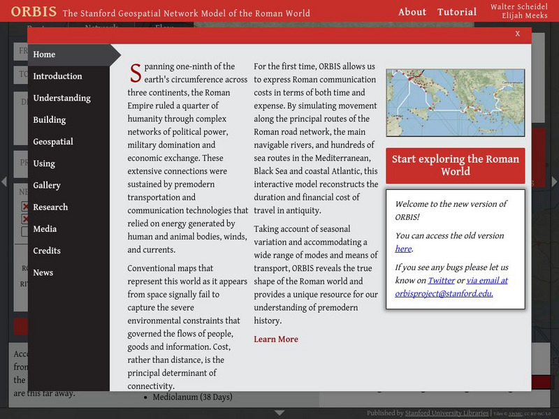
Orbis: The Stanford Geospatial Network Model of the Roman World
A geospatial model mapping the roads and trade routes of the Roman world reconstructs the time and cost associated with travel and trade around 200 CE.
Forum Romanum
Outlines of Roman History: Introduction the Land and the People
This is the introductory chapter of Morey's 1901 textbook on Roman History. It sets out the geography of Italy and the Italic tribes who lived there. The text is old, but surprisingly easy to read and packs in a lot of information.
Forum Romanum
Outlines of Roman History: Beginnings of Rome: The Situation of Rome
The seven hills of Rome are shown on two maps, showing the hills and their relation to neighboring lands on the Italian peninsula. There is a brief discussion on the geographic importance of the hills.
Other
Ministry of Culture and Communication: Paris, a Roman City
Explore the history of Paris (or Lutetia, as the ancient Romans called it) by following archaeological remnants and still-extant traces of its earlier inhabitants. Paris, A Roman City, focuses principally on the Roman phase of the city's...
Other
Edublog: Dalton School: Rome Project
Looking for data about Classical Rome, check out the resources provided by The Dalton School.
Smithsonian Institution
National Museum of American History: Parthia: The Forgotten Empire
The Parthian Empire lasted for five hundred years and have been mostly forgotten, despite their prowess in the Middle East. Their kingdom began in 247 BC when Arsaces I was elected as King of Parni. They were the only civilization that...
Franco Cavazzi
Roman empire.net: Roman Empire Map
This site from Roman-Empire.net provides an interactive map of the Roman Empire. The expanse of the empire can be viewed by dates. The site can be searched by Provinces, Territories, Tribes, Towns, Cities, or Barbarian Incursions.
Friesian School
Fresian School: Animated History of Rome and Romania
This animated graphic, which is provided by the Fresian School, allows you to see how Rome grew and shrank between 300 BC and 1453 AD. The map changes in increments of about 50 years.
University of Calgary
U Calgary: Italy During the Decline of the Etruscan League and the Rise of Rome
A map showing the relative small size of Rome in relation to its neighbors in 380 BC. The Greek colonies are shown at the foot of the boot of Italy, the Etruscan League is to the north and the Italic Tribes to the east.
Nations Online Project
Nations Online: Vatican City State
Comprehensive reference tool that takes you on a virtual trip to the Vatican. Much background details are given on its art, culture, people, environment, geography, history, economy, and government. There are numerous links available...
The Wharton Group
Discover France: La Provence
An overview of the French region of Provence. Five chapters cover history, language, geography, climate, cities and regions of Provence, cuisine, and even a little Roman Civilization history. It gives nice overviews on the principal...
HyperHistory Online
Map Showing Kushan Empire and Silk Road
The map shows Kushan, the Silk Road, and Bactria between 100-200 CE.


