Stanford University
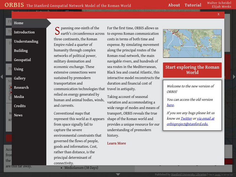
Orbis: The Stanford Geospatial Network Model of the Roman World
A geospatial model mapping the roads and trade routes of the Roman world reconstructs the time and cost associated with travel and trade around 200 CE.
Tour Egypt
Tour Egypt: Egyptian Pharaohs: Rulers of the Ancient World
Online travel guide explores Egyptian Pharaohs of the ancient world.
A&E Television
History.com: 10 Awe Inspiring Photos of the Ancient Pyramids of Egypt
From the early step pyramids to the towering Great Pyramids of Giza, the tombs are among the few surviving wonders of the ancient world. This site offers 10 photos of Ancient Pyramids of Egypt.
University of Michigan
Univerisity of Michigan: A Taste of the Ancient World: Storage and Cooking
Pottery used for food storage and transportation of liquids offers insight into Egyptian daily life. See pictures of many different styles of pottery.
Princeton University
Princeton University: Qed: Mapping Globalization: Maps
Several historical maps showing steamship routes around 1900, ancient world maps, and shipping routes and lines in 1912, including those that passed through the Panama Canal.
University of Chicago
University of Chicago: Ancient Near East and the Mediterranean World
A collection of full-text research materials on the ancient Near East and Mediterranean World. Many texts are in French.
Google
Google Maps: Pyramids of Giza
Visit the last standing wonder of the ancient world in this 360-degree tour.
University of Oregon
Mapping History: European History
Interactive and animated maps and timelines of historical events and time periods in European history from Greek and Phoenician colonization up to the 20th century.
Other
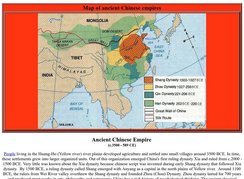
World Coin Catalog: Ancient Chinese Empire (C.3500 589 Ce)
At a site dedicated to coin collection, there is a great map of the ancient Chinese dynasties, about one sentence for the rise and fall of each dynasty, and links to ancient Chinese empire coin pages.
University of Texas at Austin
Geodia
An easy way for people to visualize the temporal, geographic, and material aspects of ancient Mediterranean civilizations. The map displays important archaeological sites and historical events of the ancient Mediterranean world in both...
Other
The Palace Museum: Eternal Kindness: An Exhibition of Pottery Figurines
These cultural relics span over 1,400 years (from the Han Dynasty to the Song Dynasty) and reflect various aspects of life in ancient China.
Other
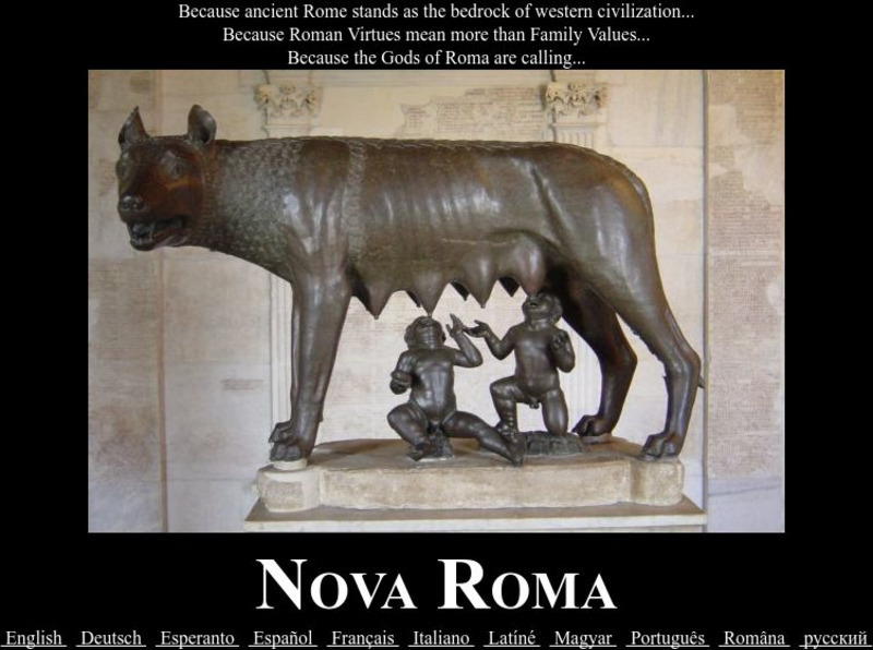
Nova Roma
This site is dedicated to the study and restoration of ancient Roman culture. Site allows student to apply for Roman citizenship and live as a Roman! Delve into the religion, the philosophy, the virtues, the art, and more - of ancient Rome.
Other
Canby: History of Angkor
A comprehensive history of Angkor, the temples, and the rulers who built them over several centuries. There is a nice timeline showing what was built by whom.
Curated OER
Ancient Worlds: Background of Roman State Religion
This Ancient Worlds site provides a page on the Etruscan background of Roman State Religion. Includes images.
Other
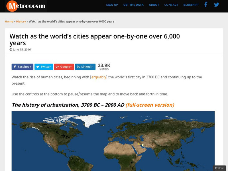
Metrocosm: Watch as the World's Cities Appear One by One Over 6,000 Years
Observe the rise of civilizations from 3500BC to the present with this "living" map. See where the first cities developed and watch as civilizations spread across the world.
Columbia University
Columbia University: Asia for Educators: Timeline of Chinese Inventions
This printable timeline details the ancient inventions that dramatically changed Chinese society and the world. Topics include early books, printing techniques, tea, silk, gunpowder, playing cards and paper.
Other
Ancient Maps: Frames of the Greek World
Understanding that perceptions of the Greek world changed over time is important to reading Greek literature. The perceptions of Homer, Hecateus, Eratosthenes, and Ptolemy are presented as map frames at this site. Consider how Homer's...
Curated OER
Unesco: Syria: Ancient Villages of Northern Syria
Some 40 villages grouped in eight parks situated in north-western Syria provide remarkable testimony to rural life in late Antiquity and during the Byzantine period. Abandoned in the 8th to 10th centuries, the villages, which date from...
Other
Visulistan: Mapping the Empires of History #Infographic
This infographic maps the empires of history including the British Empire, the Mongol Empire, the Russian Empire, the Spanish Empire, the Umayyad Caliphate, the Portuguese Empire, the Achaemenid Empire (First Persian Empire), the Ottoman...
Curated OER
Unesco: Russian Federation: Citadel, Ancient City and Fortress Bldgs of Derbent
The Citadel, Ancient City and Fortress Buildings of Derbent were part of the northern lines of the Sasanian Persian Empire, which extended east and west of the Caspian Sea. The fortification was built in stone. It consisted of two...
Curated OER
Unesco: Syria: Ancient City of Damascus
Founded in the 3rd millennium B.C., Damascus is one of the oldest cities in the Middle East. In the Middle Ages, it was the centre of a flourishing craft industry, specializing in swords and lace. The city has some 125 monuments from...
Curated OER
Unesco: Turkmenistan: State Historical & Cultural Park "Ancient Merv"
Merv is the oldest and best-preserved of the oasis-cities along the Silk Route in Central Asia. The remains in this vast oasis span 4,000 years of human history. A number of monuments are still visible, particularly from the last two...
Princeton University
Princeton University: Qed: Mapping Globalization: Map Category Queries
A large database of historical maps that can be searched by map type, time period (prehistory to 21st century), theme, and world location. Themes cover economics, war, disease, trade, migration, and much more.
Other
Guardian's Egypt: The Sphinx
The site opens to a great picture of the Sphinx, referred to as the "Giant Sphinx" in this essay. If you can get through the "poetry style" of writing, you'll uncover many facts and interesting tidbits.
Other popular searches
- Ancient World History
- Ancient World Cultures
- Ancient World History China
- Ancient World History Africa
- Ancient World Map Template
- Ancient World Cultures Egypt
- The Ancient World
- Art of the Ancient World
- Ancient World History Egypt
- Ancient World History Jamica
- Ancient World History Jamaica
- Ancient World Greece Map
